Upper Serpents Trail
Serpents Trail to Devils Kitchen Trailhead
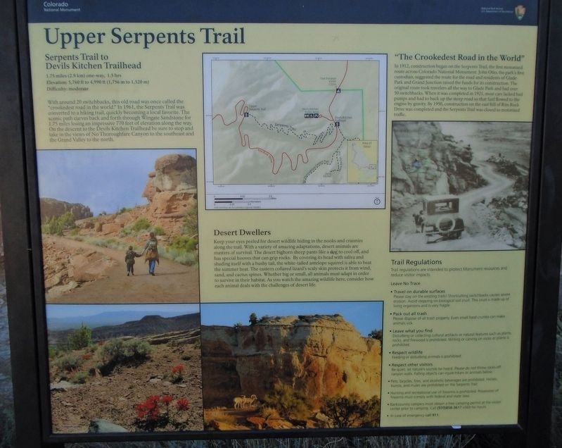
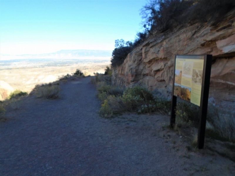
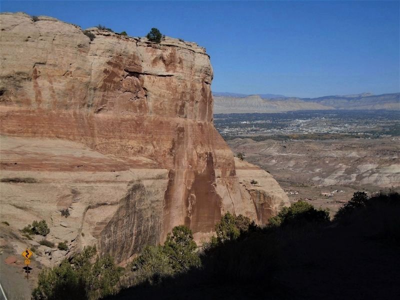
With around 20 switchbacks, this old road was once called the "crookedest road in the world." In 1961, the Serpents Trail was converted to a hiking trail, quickly becoming a local favorite. The scenic path curves back and forth through Wingate Sandstone for 1.75 miles losing an impressive 770 feet of elevation along the way. On the descent to the Devils Kitchen Trailhead be sure to stop and take in the views of No Thoroughfare Canyon to the southeast and the Grand Valley to the north.
"The Crookedest Road in the World"
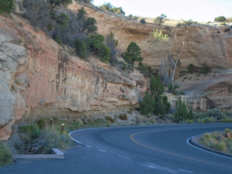
In 1912, construction began on the Serpents Trail, the first motorized route across Colorado National Monument. John Otto, the park's first custodian, suggested the route for the road and residents of Glade Park and Grand Junction raised the funds for its construction. The original route took travelers all the way to Glade Park and had over 50 switchbacks. When it was completed in 1921, most cars lacked fuel pumps and had to back up the steep road so that fuel flowed to the engine by gravity. By 1950, construction on the east hill of Rim Rock Drive was completed and the Serpents Trail was closed to motorized
this page online
[The balance of the marker is informational and is not transcribed]
Erected by National Park Service.
Topics. This historical marker is listed in these topic lists: Environment • Parks & Recreational Areas • Roads & Vehicles. A significant historical year for this entry is 1961.
Location. 39° 1.997′ N, 108° 38.75′ W. Marker is in Colorado National Monument, Colorado, in Mesa County. It is on Rim Rock Drive, on the left when traveling west. Marker and trailhead are at the second road switchback above the tunnel when traveling through the park from the East (Grand Junction) Entrance. Touch for map. Marker is in this post office area: Fruita CO 81521, United States of America. Touch for directions.
Regionally, this marker is in the Western Slope. It is also in the American Mountain West and on the Colorado Plateau. Globally, it is in North America, the Rocky Mountains, the Western Hemisphere, the Western World, and the Anglosphere. Historically, it finds itself in what was once Mexico’s Alta California.
Other nearby markers. At least 8 other markers are within 5 miles of this marker, measured as the
Also see . . .
1. Colorado National Monument. National Park Service website entry (Submitted on November 9, 2020, by William Fischer, Jr. of Reynoldsburg, Ohio.)
2. Upper Serpents Trail. Hiking Project website entry (Submitted on November 9, 2020, by William Fischer, Jr. of Reynoldsburg, Ohio.)
Credits. This page was last revised on September 30, 2022. It was originally submitted on November 9, 2020, by William Fischer, Jr. of Reynoldsburg, Ohio. This page has been viewed 440 times since then and 31 times this year. Photos: 1, 2, 3, 4. submitted on November 9, 2020, by William Fischer, Jr. of Reynoldsburg, Ohio.
