Near Junction in Kimble County, Texas — The American South (West South Central)
John James Smith
(March 24 1822 - April 22, 1924)
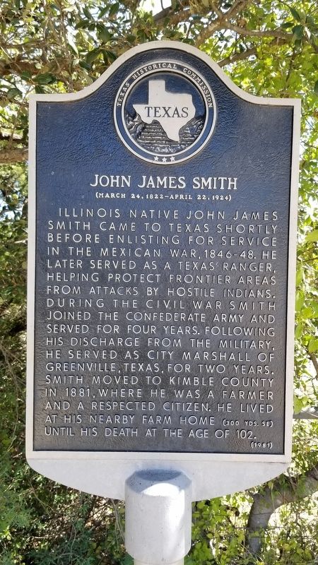
Illinois native John James Smith came to Texas shortly before enlisting for service in the Mexican War 1846 - 48. He later served as a Texas Ranger, helping protect frontier areas from attacks by hostile Indians, During the Civil War Smith joined the Confederate Army and served for four years. Following his discharge from the military, he served as City Marshall of Greenville, Texas, for two years. Smith moved to Kimble County in 1881, where he was a farmer and a respected citizen, he lived at his nearby farm home (300 yds. SE) until his death at the age of 102.
Erected 1981 by Texas Historical Commission. (Marker Number 4961.)
Topics. This historical marker is listed in these topic lists: Law Enforcement • War, Mexican-American • War, US Civil • Wars, US Indian. A significant historical year for this entry is 1846.
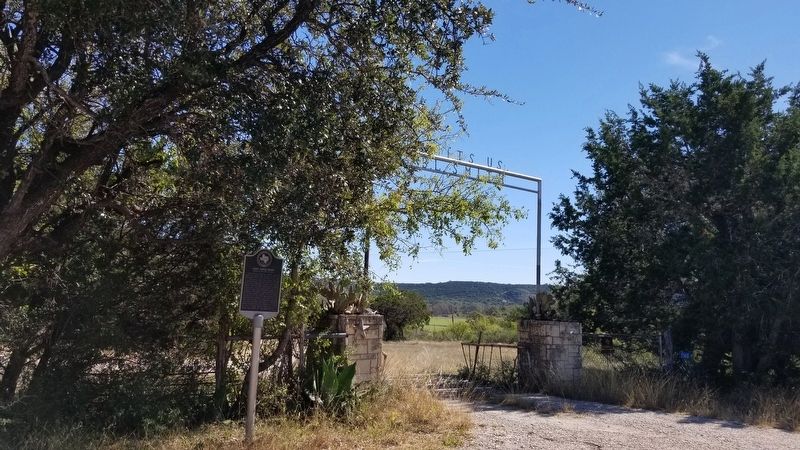
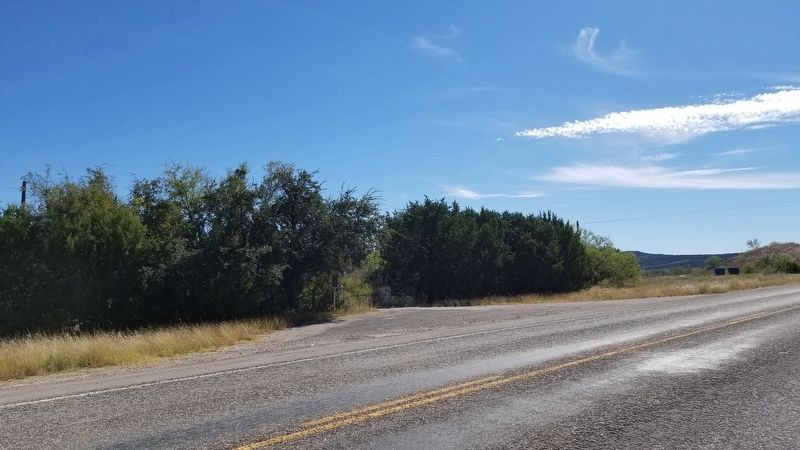
Location. 30° 28.128′ N, 99° 47.633′ W. Marker is near Junction, Texas, in Kimble County. Marker is on U.S. 377, 0.1 miles north of Smith Lane (County Highway 170), on the left when traveling south. Touch for map. Marker is in this post office area: Junction TX 76849, United States of America. Touch for directions.
Other nearby markers. At least 8 other markers are within 2 miles of this marker, measured as the crow flies. Isaac Kountz (approx. one mile away); Vicinity of Bradbury Settlement (approx. 1.2 miles away); William Walter Taylor (approx. 1.2 miles away); Site of Four Mile Dam (approx. 1.2 miles away); Marvin E. and Retta Ann Blackburn House (approx. 1.6 miles away); Junction School Campus (approx. 1.7 miles away); First Baptist Church of Junction (approx. 2 miles away); College Street Church of Christ (approx. 2 miles away). Touch for a list and map of all markers in Junction.
Also see . . . John James Smith. Findagrave.com (Submitted on November 17, 2020, by James Hulse of Medina, Texas.)
Credits. This page was last revised on November 17, 2020. It was originally submitted on November 17, 2020, by James Hulse of Medina, Texas. This page has been viewed 283 times since then and 37 times this year. Photos: 1, 2, 3. submitted on November 17, 2020, by James Hulse of Medina, Texas. • J. Makali Bruton was the editor who published this page.


