Original Highlands in Louisville in Jefferson County, Kentucky — The American South (East South Central)
Highlands Neighborhood

Photographed by Duane and Tracy Marsteller, November 29, 2020
1. Highlands Neighborhood Marker (Side A)
This land was subdivided by the Preston heirs and streets nearby bear their names. By 1865, the area was known as New Hamburg, due to influx of German immigrants. The area gained popularity due to the extension of the streetcar line & estab. of Cherokee Park. By 1901, St. Anthony’s Hosp. established here to serve poor, needy, & infirmed.
Erected 2015 by Kentucky Historical Society and Kentucky Department of Highways. (Marker Number 2456.)
Topics and series. This historical marker is listed in these topic lists: Parks & Recreational Areas • Roads & Vehicles • Science & Medicine • Settlements & Settlers. In addition, it is included in the Kentucky Historical Society series list. A significant historical year for this entry is 1815.
Location. 38° 14.284′ N, 85° 43.361′ W. Marker
this page online

Regionally, this marker is in the American South, specifically in the Upper South, and in the Ohio River Valley. Globally, it is in North America, the Western Hemisphere, the Western World, and the Anglosphere. Historically, it finds itself in what was once the territory of the Mississippian Culture and also the Antebellum South.
Other nearby markers. At least 8 other markers are within walking distance of this marker: Sister Emily Cooper (approx. 0.4 miles away); Walton's Spring (approx. 0.4 miles away); George Rogers Clark (approx. half a mile away); James Guthrie (1792-1869) (approx. half a mile away); Christ Evangelical United Church of Christ / Highlands Community Ministries (approx. half a mile away); Governor Thomas E. Bramlette (approx. half a mile away); Artist of Confederacy (approx. half

Photographed by Duane and Tracy Marsteller, November 29, 2020
2. Highlands Neighborhood Marker (Side B)
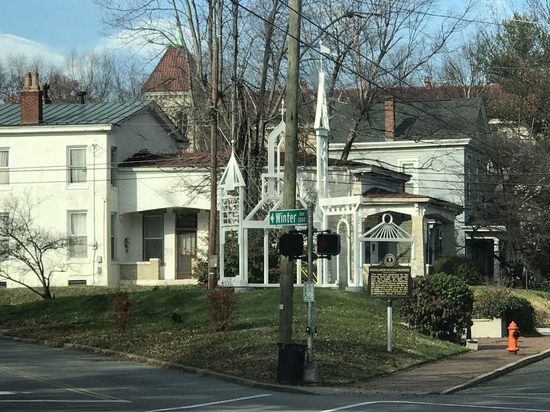
Photographed by Duane and Tracy Marsteller, November 29, 2020
3. Highlands Neighborhood Marker
Credits. This page was last revised on February 12, 2023. It was originally submitted on December 7, 2020, by Duane and Tracy Marsteller of Murfreesboro, Tennessee. This page has been viewed 574 times since then and 20 times this year. Photos: 1, 2. submitted on December 7, 2020, by Duane and Tracy Marsteller of Murfreesboro, Tennessee. 3. submitted on December 9, 2020, by Duane and Tracy Marsteller of Murfreesboro, Tennessee.
