Chuckatuck in Suffolk, Virginia — The American South (Mid-Atlantic)
Nansemond Indian Villages
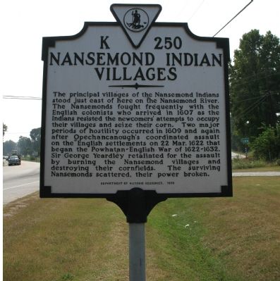
Photographed by Laura Troy, September 23, 2007
1. Nansemond Indian Villages Marker
Erected 1998 by Department of Historic Resources. (Marker Number K-250.)
Topics and series. This historical marker is listed in these topic lists: Colonial Era • Indigenous Peoples and Communities • Settlements & Settlers • Wars, US Indian. In addition, it is included in the Virginia Department of Historic Resources (DHR) series list. A significant historical date for this entry is March 22, 1622.
Location. 36° 51.121′ N, 76° 35.363′ W. Marker is in Suffolk, Virginia. It is in Chuckatuck.
this page online

Regionally, this marker is in Hampton Roads, specifically in Coastal Virginia, and in the Hampton Roads Metropolitan Area. It is also in the American South, specifically in the Upper South, in the Tidewater, and on the Eastern Seaboard. Globally, it is in the North Atlantic Region, North America, the Western Hemisphere, the Western World, and the Anglosphere. Historically, it finds itself in what was once the territory of the Mississippian Culture, one of the original Thirteen Colonies, one of the Confederate States of America, and the Antebellum South.
Other nearby markers. At least 8 other markers are within 6 miles of this marker, measured as the crow flies: Chuckatuck (approx. 0.8 miles away); St. John's Church (approx. 1.6 miles away); Dumpling Island (approx. 2.3 miles away); James Bowser Plantation (approx. 4.4
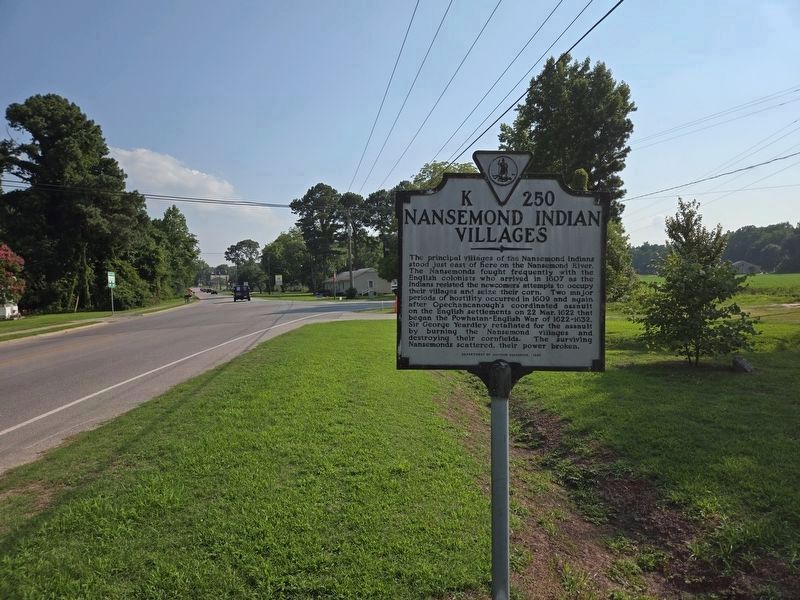
Photographed by Mark Parker, July 16, 2024
2. Vied view Nansemond Indian Villages Marker
Looking south towards Evererts Road
Other markers no longer nearby. Isle of Wight County / Nansemond County (was approx. 2.1 miles away but has been permanently removed); Reid's Ferry (was approx. 3½ miles away but has been permanently removed).
Related markers. Click here for a list of markers that are related to this marker. Nansemond Indians
Additional commentary.
1. K-250 marker history
Most readers of Virginia’s roadside historical markers do not know that Nansemond Indian Villages was not the initial title assigned to the designation symbol “K-250.” The original title assigned in 1927 by the Virginia Conservation and Development Commission was Reid’s Ferry (see Related markers). The commission, a predecessors of the Department of Historic Resources (DHR), developed those unique “letter-and-number” symbols to be used with titles in naming its landmarks. In an undetermined
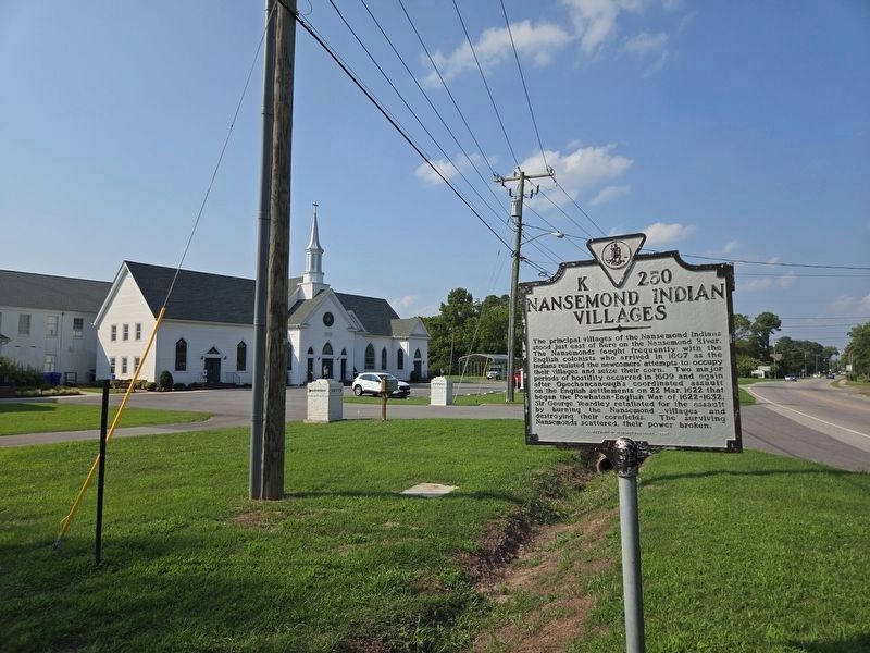
Photographed by Mark Parker, July 16, 2024
3. Wide view of Nansemond Indian Villages Marker
Looking north along Godwin Blvd. towards Oakland Christian Church
— Submitted December 21, 2020.
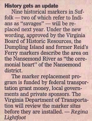
Courtesy of The Sun.
4. History gets an update
Nine historical markers in Suffolk—two of which refer to Indians as “savages”—will be replaced next year. Under the new wording, approved by the Virginia Board of Historic Resources, the Dumpling Island and former Reid’s Ferry markers describe the area on the Nansemond River as “the ceremonial heart” of the Nansemond district. The marker replacement program is funded by federal transportation grant money, local governments and private sponsors. The Virginia Department of Transportation will review the marker sites before they are installed. —Regina Lightfoot” Dec 27, 1998 in The Sun, a part of The Virginian-Pilot newspaper.
Credits. This page was last revised on July 17, 2024. It was originally submitted on September 23, 2007, by Laura Troy of Burke, Virginia. This page has been viewed 3,939 times since then and 78 times this year. Last updated on December 20, 2020, by Cynthia L. Clark of Suffolk, Virginia. Photos: 1. submitted on September 23, 2007, by Laura Troy of Burke, Virginia. 2, 3. submitted on July 16, 2024, by Mark Parker of Hickory, North Carolina. 4. submitted on December 20, 2020, by Cynthia L. Clark of Suffolk, Virginia. • Bernard Fisher was the editor who published this page.
