The Mounds Dugout Canoe
[Mounds State Park]
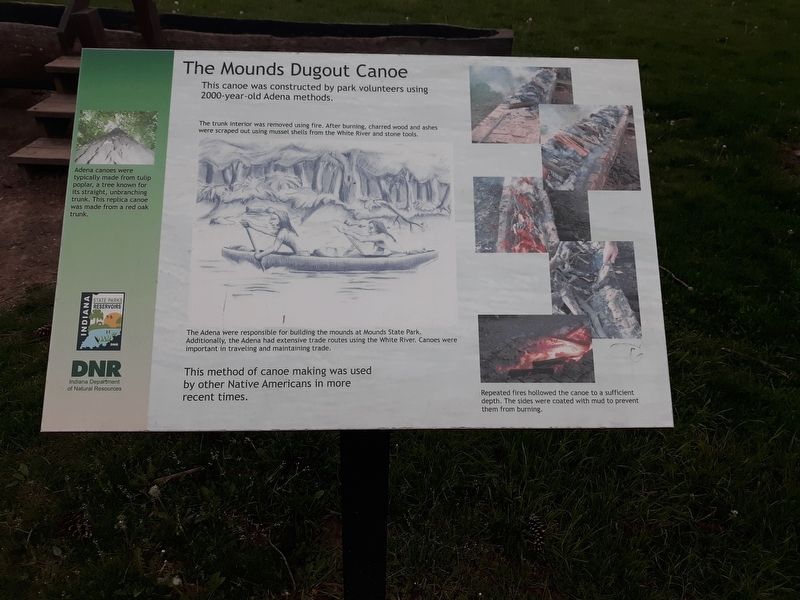
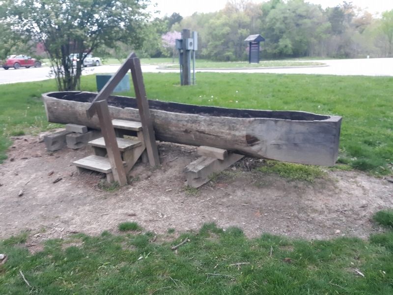
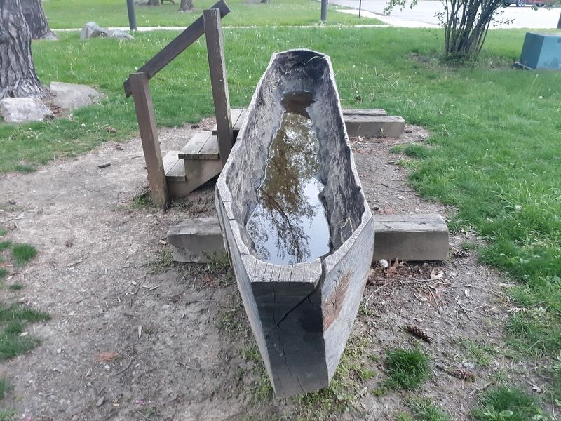
Adena canoes were typically made from tulip poplar, a tree known for its straight, unbranching trunk. This replica canoe was made from a red oak trunk.
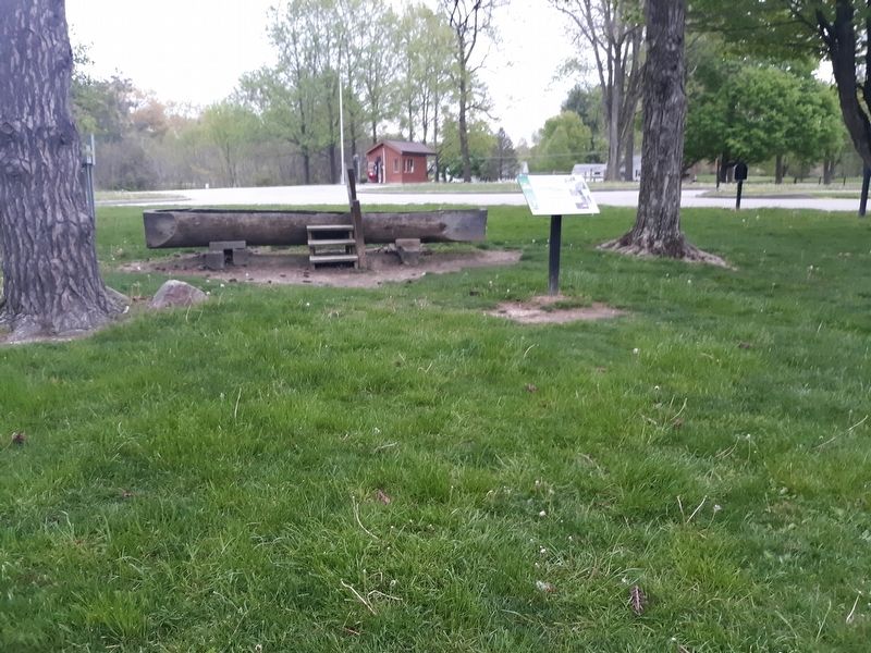
This canoe was constructed by park volunteers using 2000-year-old Adena methods.
The trunk interior was removed using fire. After burning, charred wood and ashes were scraped out using mussel shells from the White River and stone tools.
The Adena were responsible for building the mounds at Mounds State Park. Additionally, the Adena had extensive trade routes using the White River. Canoes were important in traveling and maintaining trade.
This method of canoe making was used by other Native Americans in more recent times.
Repeated fires hollowed the canoe to a sufficient
depth. The sides were coated with mud to prevent
them from burning.
Erected by Indiana Department of Natural Resources.
Topics. This historical marker is listed in these topic lists: Anthropology & Archaeology • Horticulture & Forestry • Native Americans • Waterways & Vessels.
Location. 40° 5.75′ N, 85° 37.183′ W. Marker is in Chesterfield, Indiana, in Madison County. Marker is on Mounds Road (Indiana Route 232)
Other nearby markers. At least 8 other markers are within 2 miles of this marker, measured as the crow flies. Indiana State Parks: the First 100 Years (within shouting distance of this marker); Native American Memorial (within shouting distance of this marker); The Bronnenberg House (about 400 feet away, measured in a direct line); The Bronnenberg Family (about 400 feet away); a different marker also named The Bronnenberg House (about 400 feet away); The Great Mound (about 600 feet away); The Circle Mound (approx. half a mile away); The Moravian Mission (approx. 1˝ miles away). Touch for a list and map of all markers in Chesterfield.
Credits. This page was last revised on December 21, 2020. It was originally submitted on December 21, 2020, by Craig Doda of Napoleon, Ohio. This page has been viewed 193 times since then and 20 times this year. Photos: 1, 2, 3, 4. submitted on December 21, 2020, by Craig Doda of Napoleon, Ohio. • Devry Becker Jones was the editor who published this page.


