Near Phippsburg in Rio Blanco County, Colorado — The American Mountains (Southwest)
Footsteps in Time
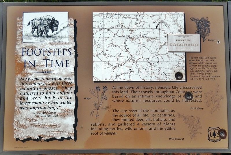
~Eddie Box Senior
Southern Ute Tribe
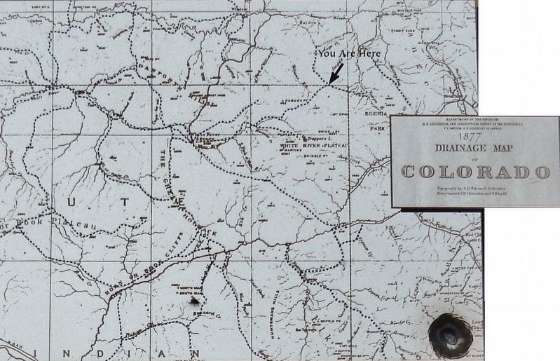
At the dawn of history, nomadic Ute crisscrossed this land. Their travels throughout Colorado were based on an intimate knowledge of when and where nature's resources could be harvested.
The Ute revered the mountains as the source of all life. For centuries, they hunted deer, elk, buffalo, and rabbits, and gathered a variety of plants including berries, wild onions, and the edible root of yampa.
[illustration captions]
• Juniper
• Yampa
• Serviceberry
• Wild Currant
Erected by Forest Service, U.S. Department of Agriculture.
Topics. This historical marker is listed in these topic lists: Animals • Anthropology & Archaeology • Native Americans • Parks & Recreational Areas.
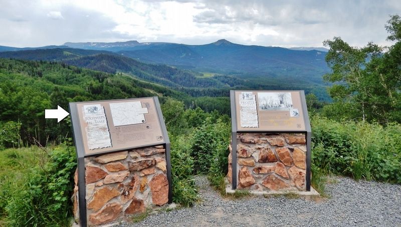
Location. 40° 12.061′ N, 107° 9.588′ W. Marker is near Phippsburg, Colorado, in Rio Blanco County. Marker is on Flat Tops Trail Scenic Byway (County Road 8) 7 miles east of County Road 19, on the right when traveling east. Marker is located at the Dunckley Pass Overlook in Routt National Forest. Touch for map. Marker is in this post office area: Phippsburg CO 80469, United States of America. Touch for directions.
Other nearby markers. At least 2 other markers are within 10 miles of this marker, measured as the crow flies. People of the Shining Mountains (here, next to this marker); Forest Foresight (approx. 9.4 miles away).
Also see . . . Ute History. By the early seventeenth century the Utes’ territory included portions of the Great Basin, the Colorado Plateau, and the Central and Southern Rockies. This extensive area was inhabited by a population estimated at upwards of 5,000–10,000. (Submitted on January 2, 2021, by Cosmos Mariner of Cape Canaveral, Florida.)
Credits. This page was last revised on January 2, 2021. It was originally submitted on January 1, 2021, by Cosmos Mariner of Cape Canaveral, Florida. This page has been viewed 129 times since then and 15 times this year. Photos: 1, 2, 3, 4. submitted on January 2, 2021, by Cosmos Mariner of Cape Canaveral, Florida.


