Near Blowing Rock in Watauga County, North Carolina — The American South (South Atlantic)
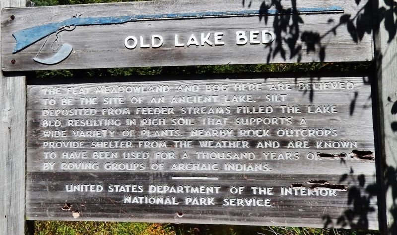
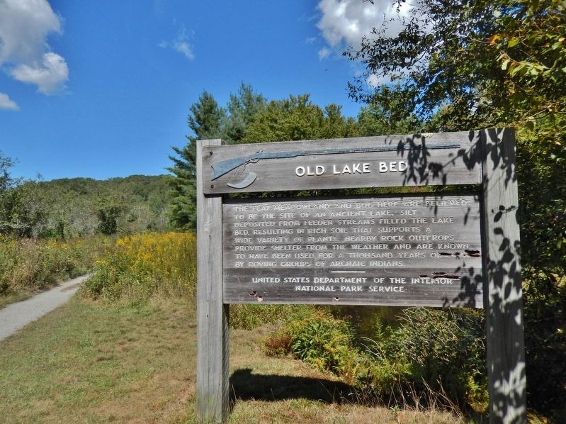
Old Lake Bed
Erected by National Park Service, U.S. Department of the Interior.
Topics. This historical marker is listed in these topic lists: Anthropology & Archaeology • Native Americans • Parks & Recreational Areas • Waterways & Vessels.
Location. 36° 8.457′ N, 81° 43.718′ W. Marker is near Blowing Rock, North Carolina, in Watauga County. Marker can be reached from Blue Ridge Parkway (at milepost 296.4), on the right when traveling south. Marker is located along the Boone Fork Trail, about 200 yards north of the Boone Fork Parking Lot and trailhead. Touch for map. Marker is in this post office area: Blowing Rock NC 28605, United States of America. Touch for directions.
Other nearby markers. At least 8 other markers are within 3 miles of this marker, measured as the crow flies. Julian Price Memorial Park (approx. ¼ mile away); Elliott Daingerfield (approx. 0.9 miles away); Moses Cone Estate (approx. 2.1 miles away); Carriage Roads (approx. 2.1 miles away); A Prosperous Mountain Family (approx. 2.1 miles away); L.M. Tate Show Grounds (approx. 2.1 miles away); a different marker also named Carriage Roads (approx. 2.3 miles away); Mayview Manor (approx. 2½ miles away). Touch for a list and map of all markers in Blowing Rock.
Also see . . .
1. Boone Fork Trail. (Submitted on January 3, 2021, by Cosmos Mariner of Cape Canaveral, Florida.)
2. Julian Price Park: Boone Fork Trail. (Submitted on January 3, 2021, by Cosmos Mariner of Cape Canaveral, Florida.)
Credits. This page was last revised on January 3, 2021. It was originally submitted on January 1, 2021, by Cosmos Mariner of Cape Canaveral, Florida. This page has been viewed 261 times since then and 59 times this year. Photos: 1, 2. submitted on January 3, 2021, by Cosmos Mariner of Cape Canaveral, Florida.

