Herndon in Fairfax County, Virginia — The American South (Mid-Atlantic)
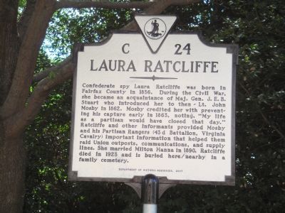
Laura Ratcliffe
Erected 2007 by the Department of Historic Resources. (Marker Number C-24.)
Topics and series. This historical marker is listed in these topic lists: Cemeteries & Burial Sites • War, US Civil • Women. In addition, it is included in the Virginia Department of Historic Resources (DHR) series list. A significant historical year for this entry is 1836.
Location. 38° 57.483′ N, 77° 24.133′ W. Marker is in Herndon, Virginia, in Fairfax County. Marker is on Elden Street / Centreville Road (Virginia Route 228) south of Worldgate Drive. Touch for map. Marker is in this post office area: Herndon VA 20170, United States of America. Touch for directions.
Other nearby markers. At least 8 other markers are within 2 miles of this marker, measured as the crow flies. A different marker also named Laura Ratcliffe (approx. 0.4 miles away); The Story of Arrowhead Farm (approx. half a mile away); Ferenc Nagy (approx. 0.9 miles away); Elwardstone (approx. one mile away); Elden House (approx. one mile away); Historical Site of Mount Pleasant Baptist Church (approx. one mile away); Mosby’s Rock (approx. 1.1 miles away); Herndon's First Church (approx. 1.1 miles away). Touch for a list and map of all markers in Herndon.
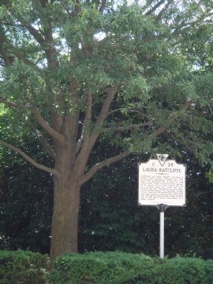
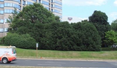
More about this marker. Marker cannot be seen from the road. It is across from the main entrance to the Washington Dulles Marriott Hotel, next to the flag poles.
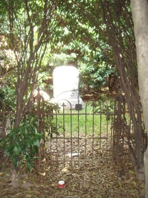
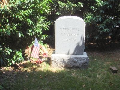
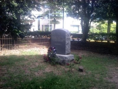
Regarding Laura Ratcliffe. Marker is next to a small graveyard where Laura Latcliffe is buried. The graveyard is hidden from the road and hotel by a copse of trees. Part the branches and step in to see the 20 by 20 foot cemetery, surrounded by an old but well-preserved wrought-iron fence. Inside a single granite monument of recent vintage reads simply “Ratcliffe — Coleman — Hanna”.
While
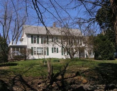
this location on Elden Street / Centreville Road is now in Herndon, it was out of town in Civil War days, being more than a mile southwest from the railroad station on the Herndon-Centreville Road. The Hanna Family home, “Merrybrook”, still stands at 2346 Centreville Road on the other side of the toll road not more than 1000 feet from this spot.
Also see . . .
1. Laura Ratcliffe. Essay by Maggie MacLean on the Civil War Woman website. (Submitted on July 12, 2007.)
2. Merrybrook. The house was recently added to the list of National Register of Historic Places. (Submitted on October 2, 2007, by Craig Swain of Leesburg, Virginia.)
Credits. This page was last revised on September 21, 2023. It was originally submitted on July 12, 2007, by J. J. Prats of Powell, Ohio. This page has been viewed 5,128 times since then and 189 times this year. Photos: 1, 2, 3, 4, 5. submitted on July 12, 2007, by J. J. Prats of Powell, Ohio. 6. submitted on September 16, 2013, by Jay Richardson of Martinsburg, West Virginia. 7. submitted on March 24, 2010, by PaulwC3 of Northern, Virginia.
