Chinatown in Los Angeles in Los Angeles County, California — The American West (Pacific Coastal)
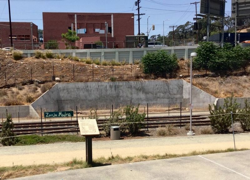
Zanja Madre
“Mother Ditch and the History Slugs”
— Los Angeles State Historic Park —
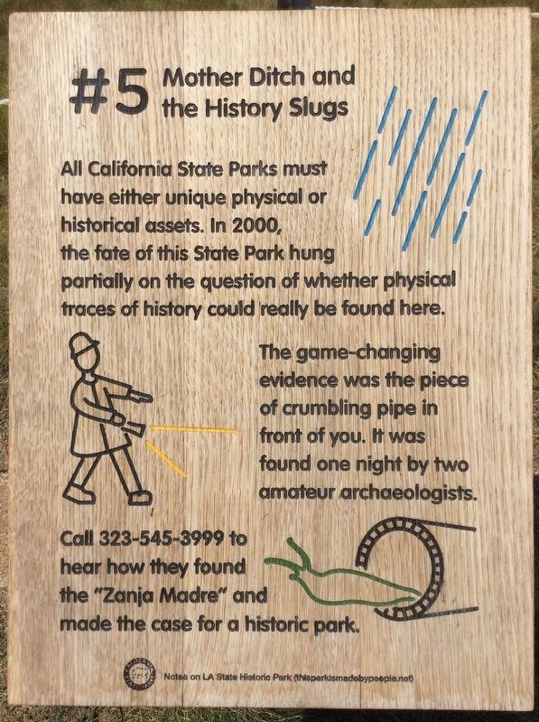
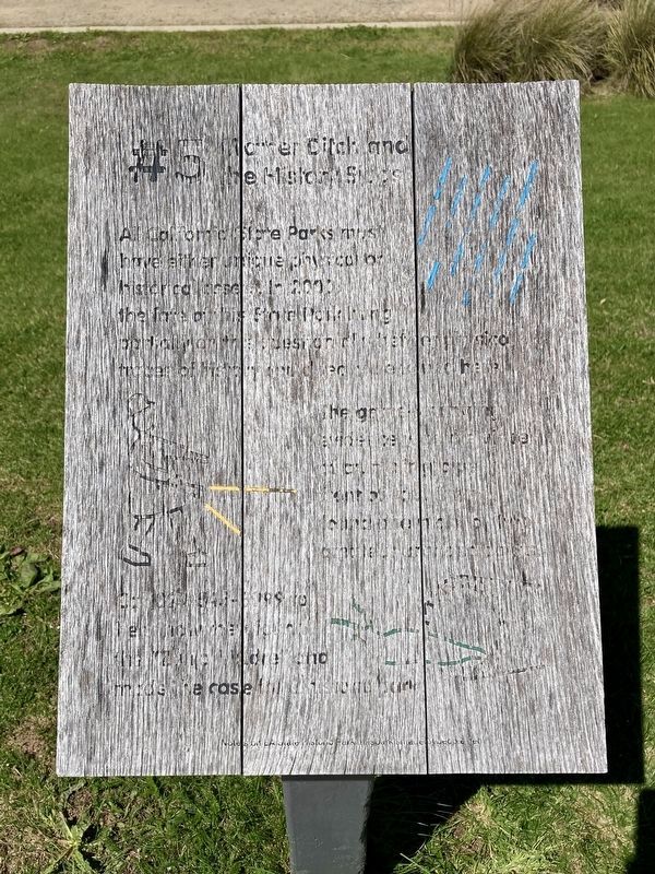
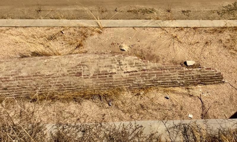
All California State Parks must have either unique physical or historical assets. In 2000, the fate of this State Park hung partially on the question of whether physical traces of history could really be found here. The game-changing evidence was the piece of crumbling pipe in front of you. It was found one night by two amateur archaeologists.
Call to hear how they found the "Zanja Madre" and made the case for a historic park.
Erected by California State Parks. (Marker Number 5.)
Topics. This historical marker is listed in these topic lists: Anthropology & Archaeology • Colonial Era • Hispanic Americans • Native Americans.
Location. 34° 4.097′ N, 118° 13.988′ W. Marker is in Los Angeles, California, in Los Angeles County. It is in Chinatown. Marker is at the intersection of Spring Street and Sotello Street, on the left when traveling north on Spring Street. Located in Los Angeles State Historic Park. Touch for map. Marker is at or near this postal address: 1245 N Spring St, Los Angeles CA 90012, United States of America. Touch for directions.
Other nearby markers. At least 8 other markers are within walking distance of this marker. Welcome to the Graveyard (about 500 feet away, measured in a direct line); River Station Area (approx. 0.2 miles away); Chinatown Heritage and Visitor Center (approx. 0.2 miles away); Central Plaza (approx. 0.3 miles away); Dr. Sun Yat-Sen (approx. 0.3 miles away); West Gate (approx. 0.3 miles away); Bruce Lee Statue (approx. 0.3 miles away); Sun Mun Way (approx. 0.3 miles away). Touch for a list and map of all markers in Los Angeles.
More about this marker. The 8-part artist’s audio tour of Los Angeles State Historic Park can be heard via the website and phone number shown on the marker, if they happen to be working.
This area was a Southern Pacific Railroad freight yard, and River Station, nicknamed “The Cornfield”. In 1971 it was designated Los Angeles Historic-Cultural Monument No. 82.
Regarding Zanja Madre. Zanja Madre is Spanish for Mother Ditch. It was the original earthen-walled ditch that carried water from the nearby Los Angeles River to the plaza of El Pueblo de Los Angeles. The Spanish-Colonial settlers and local Native Americans constructed it beginning in 1791. During the 1800s the system of earthen ditches grew to nearly 50 miles in length, later being enclosed in brick to improve sanitation and reduce evaporation. By the early 1900s, Los Angeles had outgrown its zanjas, and began importing water from the Owens Valley.
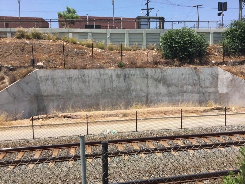
This exposed section of abandoned pipe was well-known to local residents during the late 1900s.
Credits. This page was last revised on September 8, 2023. It was originally submitted on July 30, 2018, by Craig Baker of Sylmar, California. This page has been viewed 946 times since then and 108 times this year. Last updated on January 10, 2021, by Craig Baker of Sylmar, California. Photos: 1. submitted on July 30, 2018, by Craig Baker of Sylmar, California. 2. submitted on April 3, 2023, by Craig Baker of Sylmar, California. 3, 4, 5. submitted on July 30, 2018, by Craig Baker of Sylmar, California. 6. submitted on March 30, 2023, by Craig Baker of Sylmar, California. • J. Makali Bruton was the editor who published this page.
