Brentwood in Williamson County, Tennessee — The American South (East South Central)
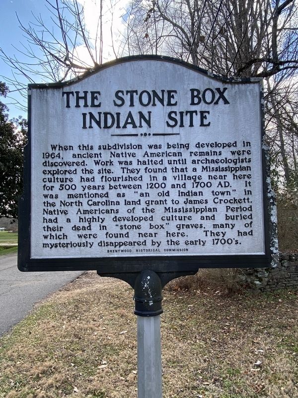
The Stone Box Indian Site
Erected by Brentwood Historical Society.
Topics. This historical marker is listed in these topic lists: Anthropology & Archaeology • Cemeteries & Burial Sites • Native Americans • Settlements & Settlers.
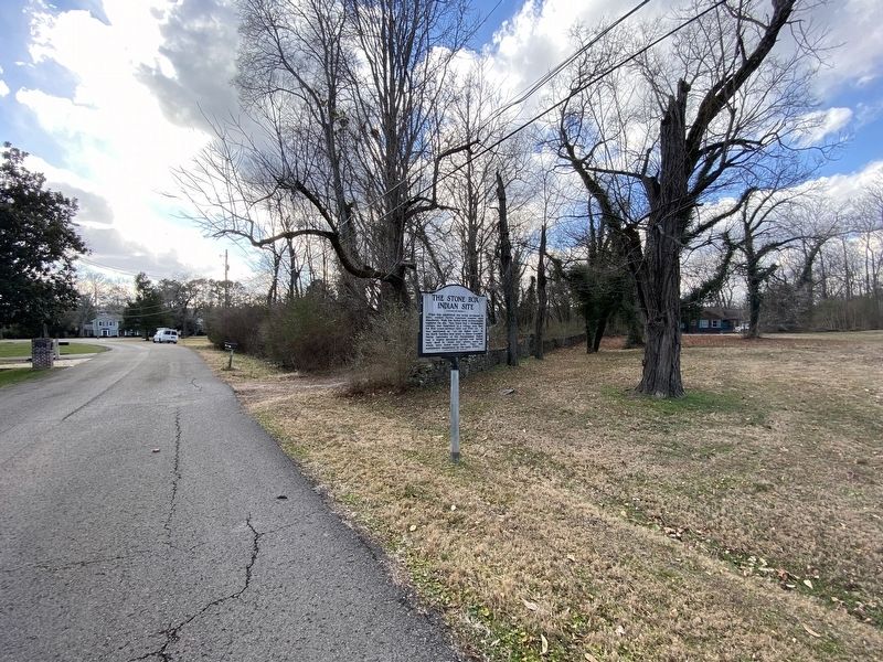
Location. 36° 1.532′ N, 86° 48.377′ W. Marker is in Brentwood, Tennessee, in Williamson County. Marker is on Seward Road, 0.1 miles south of Meadow Lake Road, on the right when traveling south. Touch for map. Marker is at or near this postal address: 5215 Seward Rd, Brentwood TN 37027, United States of America. Touch for directions.
Other nearby markers. At least 8 other markers are within 2 miles of this marker, measured as the crow flies. Brentwood United Methodist Church (approx. ¾ mile away); Midway Plantation Slave Cemetery (approx. 0.8 miles away); Mooreland (approx. one mile away); Johnson Chapel United Methodist Church (approx. 1.2 miles away); Forrest's Brentwood Raid (approx. 1.2 miles away); Davidson County / Williamson County (approx. 1.2 miles away); Nobles Corner (approx. 1.4 miles away); Mountview (approx. 1.4 miles away). Touch for a list and map of all markers in Brentwood.
Also see . . . Stone Box Indian Site. Profile for the site (Submitted on January 15, 2021, by Darren Jefferson Clay of Duluth, Georgia.)
Credits. This page was last revised on January 15, 2021. It was originally submitted on January 15, 2021, by Darren Jefferson Clay of Duluth, Georgia. This page has been viewed 613 times since then and 126 times this year. Last updated on January 15, 2021, by Darren Jefferson Clay of Duluth, Georgia. Photos: 1, 2. submitted on January 15, 2021, by Darren Jefferson Clay of Duluth, Georgia. • Devry Becker Jones was the editor who published this page.

