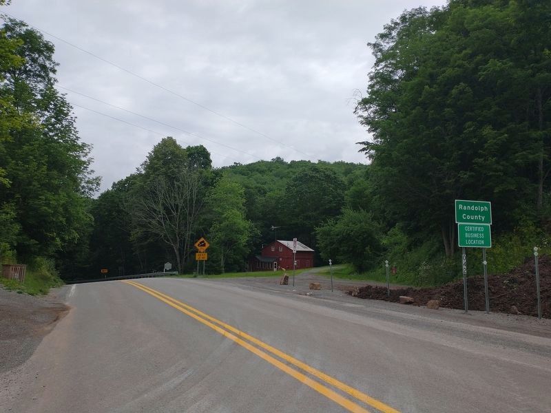
Near Mingo in Randolph County, West Virginia — The American South (Appalachia)
Pocahontas County / Randolph County
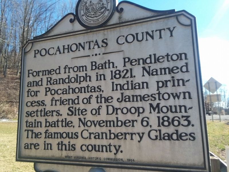
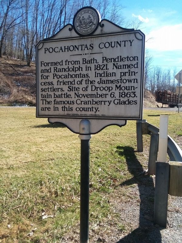
Pocahontas County. Formed from Bath, Pendleton and Randolph in 1821. Named for Pocahontas, Indian princess, friend of the Jamestown settlers. Site of Droop Mountain battle, November 6, 1863. The famous Cranberry Glades are in this county.
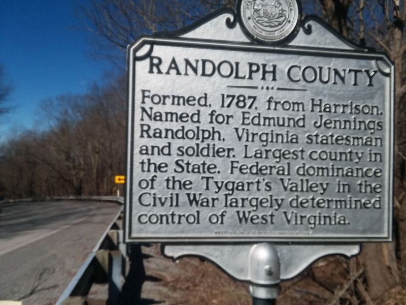
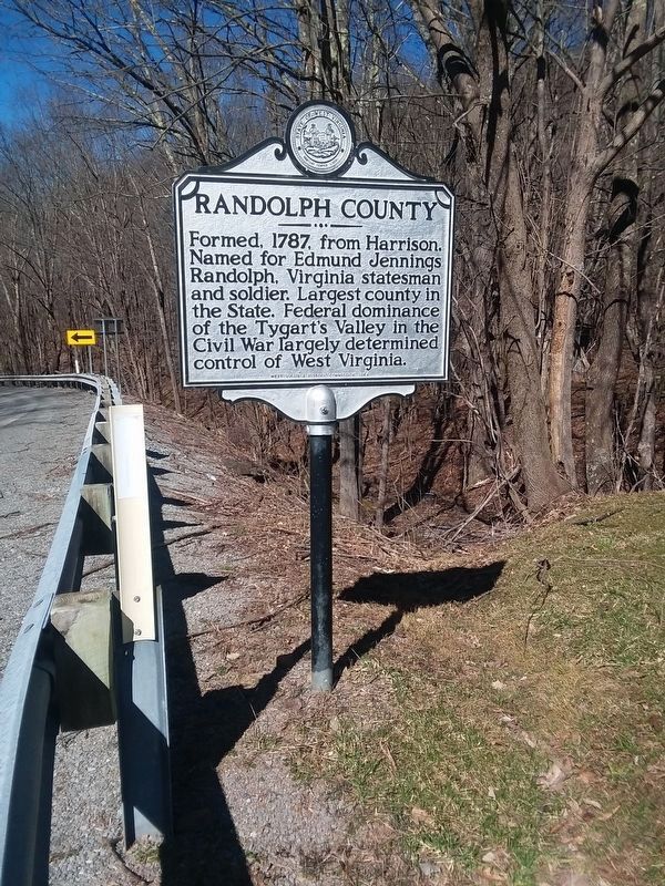
Randolph County. Formed, 1787. from Harrison. Named for Edmund Jennings Randolph, Virginia statesman and soldier. Largest county in the State. Federal dominance of the Tygart's Valley in the Civil War largely determined control of West Virginia.
Erected 1964 by West Virginia Historic Commission.
Topics and series. This historical marker is listed in these topic lists: Native Americans • Political Subdivisions • War, US Civil • Women. In addition, it is included in the West Virginia Archives and History series list. A significant historical date for this entry is November 6, 1863.
Location. 38° 27.574′ N, 80° 1.699′ W. Marker is near Mingo, West Virginia, in Randolph County. Marker is on Seneca Trail (U.S. 219) half a mile north of Dry Branch Road, on the right when traveling north. Touch for map. Marker is in this post office area: Valley Head WV 26294, United States of America. Touch for directions.
Other nearby markers. At least 8 other markers are within 12 miles of this marker, measured as the crow flies. Lee's Headquarters (approx. half a mile away); Mingo Flats (approx. 2.6 miles away); a different marker also named Lee's Headquarters (approx. 2.7 miles away); Valley Head (approx. 6.1 miles away); Big Lime (approx. 6.8 miles away); The Conley Graves (approx. 8.1 miles away); Webster County / Randolph County (approx. 10.8 miles away); Camp Elkwater (approx. 11.7 miles away).
Credits. This page was last revised on December 3, 2022. It was originally submitted on January 19, 2021, by Craig Doda of Napoleon, Ohio. This page has been viewed 192 times since then and 29 times this year. Photos: 1, 2, 3, 4. submitted on January 19, 2021, by Craig Doda of Napoleon, Ohio. 5. submitted on November 21, 2022, by Tom Bosse of Jefferson City, Tennessee. • Bernard Fisher was the editor who published this page.
