Annie C.
Log Canoe
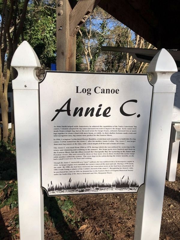
As John Smith helped settle Jamestown, he admired the capabilities of the Native Americans' log canoes. Colonists adopted the log canoe and used iron tools to improve the design. Early canoes were made from a single log, but as the need arose for larger boats, colonists fastened two or more logs together to create a boat with more beam, or width. As their shallow bottoms made creek and inlet navigation easy, log canoes were perfect for the Eastern Shore.
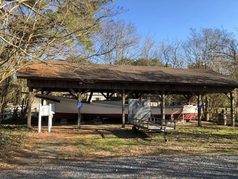
In 1904, Covington Corbin hired Horace Bundick, a waterman and carpenter, to build this five-log canoe. Corbin named her the Annie C. after his mother, Annie Corbin. The Annie C. was larger than most log canoes at the time, with a deck length of 45 feet and a beam of 9.5 feet.
The Annie C. was used from 1904 to 1978, during which she was utilized for oystering in the winter and clamming and crabbing in the summer. Her home ports were Sanford and Saxis on the Eastern Shore, but she often crossed the Chesapeake Bay for oystering in the James and Potomac rivers. She was crewed by three or four men: two to three worked the oyster tongs while another culled the oysters.
this page online
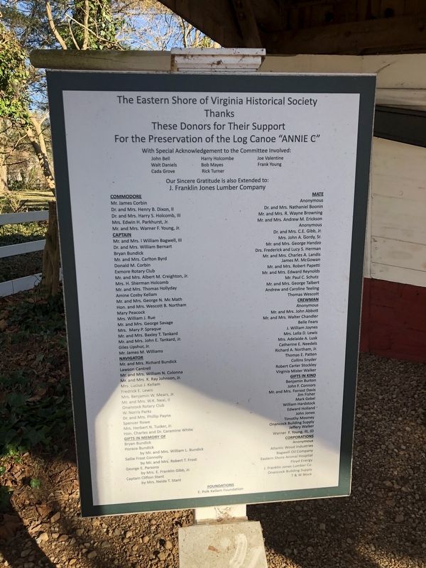
Though the Annie C. started life as a "pure" sailboat, she was outfitted with a 16-horsepower engine in 1910. As larger engines were installed, her owners removed the mast and sail. During a 1978 storm, she sank. By 1980, she had been retrieved, but restoration work on her had been abandoned. In 1989, Frank Young, a relative of the Corbin's, learned of the Annie C. Recognizing her historic value, he purchased her, and, in 1995, he donated her to the Eastern Shore of Virginia Historical Society under the leadership of Dr. Harry Holcomb and Mrs. Benjamin Mears.
Erected by Eastern Shore of Virginia Historical Society.
Topics. This historical marker is listed in these topic lists: Animals • Colonial Era • Indigenous Peoples and Communities • Waterways & Vessels. A significant historical year for this entry is 1904.
Location. 37° 42.764′ N, 75° 44.776′ W. Marker is in Onancock, Virginia, in Accomack County. It can be reached from the intersection of Market Street and College Avenue, on the right when traveling west.

Regionally, this marker is on the Eastern Shore. It is also in the American South, specifically in the Upper South, on the Delmarva Peninsula, in the Tidewater, and on the Eastern Seaboard. Globally, it is in the North Atlantic Region, North America, the Western Hemisphere, the Western World, and the Anglosphere. Historically, it finds itself in what was once the territory of the Mississippian Culture, one of the original Thirteen Colonies, one of the Confederate States of America, and the Antebellum South.
Other nearby markers. At least 8 other markers are within walking distance of this marker: The Logs… (here, next to this marker); The knees and washboards… (a few steps from this marker); Steering the Annie C… (a few steps from this marker); Log Canoe Annie C (a few steps from this marker); The Cabin area… (a few steps from this marker); Kerr Place (about 400 feet away, measured in a direct line); Revolutionary War Patriots (about 500 feet away); Onancock Baptist Church (about
Credits. This page was last revised on January 19, 2021. It was originally submitted on January 19, 2021, by Devry Becker Jones of Washington, District of Columbia. This page has been viewed 573 times since then and 28 times this year. Photos: 1, 2, 3. submitted on January 19, 2021, by Devry Becker Jones of Washington, District of Columbia.
