
Marker Logo
THE HISTORICAL
MARKER DATABASE
“Bite-Size Bits of Local, National, and Global History”
Near Leiper's Fork in Williamson County, Tennessee — The American South (East South Central)
 

Dr. George B. Hunter Farm
⎯⎯⎯
Along Leiper's Fork
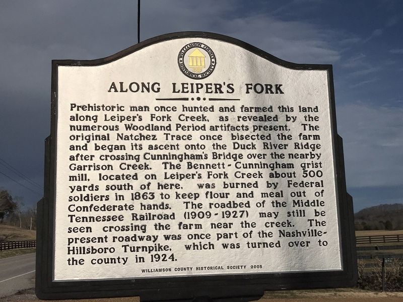
 
 
Along Leiper's Fork Marker image. Click for full size.
Photographed by Duane and Tracy Marsteller, February 6, 2021
1. Along Leiper's Fork Marker
Inscription.
Dr. George B. Hunter Farm
This farm was part of the 2,560 acre Benton plantation, which was sold in 1821 to Samuel Cummins. During the 19th century the farm passed from Cummins to Swanson Johnson to James Swanson to Dr. George Bennett and, in 1865, to Dr. George B. Hunter. In 1902, Dr. Hunter built the present house in the Queen Anne style, using Sears and Roebuck hardware, woodwork and mantels. J. T. Morton purchased the 500-acre farm in 1907 for $13,50O. Later occupants included the Albert and Barney Beasley families and Kenneth and Lucille Blackburn, who operated a modern dairy for nearly thirty years. In 1999 the Preston family granted a conservation easement to the Land Trust of Tennessee, which will protect the historic view shed for future generations.

Along Leiper's Fork
Prehistoric man once hunted and farmed this land along Leiper's Fork Creek, as revealed by the numerous Woodland Period artifacts present. The original Natchez Trace once bisected the farm and began its ascent onto the Duck River Ridge after crossing Cunningham's Bridge over the nearby Garrison Creek. The Bennett-Cunningham grist mill, located
Paid Advertisement
Click or scan to see
this page online
on Leiper's Fork Creek about 500 yards south of here, was burned by Federal soldiers in 1863 to keep flour and meal out of Confederate hands. The roadbed of the Middle Tennessee Railroad (1909-1927) may still be seen crossing the farm near the creek. The present roadway was once part of the Nashville-Hillsboro Turnpike, which was turned over to the county in 1924.
 
Erected 2005 by Williamson County Historical Society.
 
Topics and series. This historical marker is listed in these topic lists: AgricultureRailroads & StreetcarsRoads & VehiclesWar, US Civil. In addition, it is included in the Tennessee – Williamson County Historical Society series list.
 
Location. 35° 53.099′ N, 87° 1.144′ W. Marker is near Leiper's Fork, Tennessee, in Williamson County. It is on Leipers Creek Road 0.4 miles west of Pinewood Road (Tennessee Route 46), on the left when traveling west. Touch for map. Marker is at or near this postal address: 5320 Leipers Creek Road, Franklin TN 37064, United States of America. Touch for directions.

Regionally, this marker is in Middle Tennessee
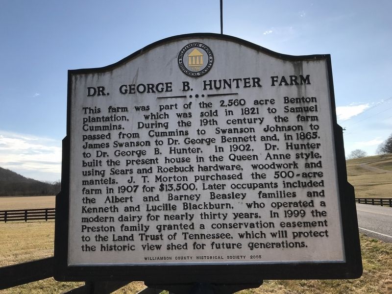
Dr. George B. Hunter Farm Marker image. Click for full size.
Photographed by Duane and Tracy Marsteller, February 6, 2021
2. Dr. George B. Hunter Farm Marker
and in Greater Nashville. It is also in the American South and specifically in the Upper South. Globally, it is in North America, the Western Hemisphere, the Western World, and the Anglosphere. Historically, it finds itself in what was once the territory of the Mississippian Culture, one of the Confederate States of America, and the Antebellum South.

Other nearby markers. At least 8 other markers are within 3 miles of this marker, measured as the crow flies: Benton's Well and Slave Cabin (approx. 0.6 miles away); Thomas Hart Benton (approx. 0.6 miles away); Hillsboro Union Church and Public School (approx. 1.3 miles away); Leiper's Fork Church of Christ (approx. 1.3 miles away); Bank of Leiper's Fork / Hillsboro Methodist Church (approx. 1.4 miles away); Leiper's Fork (approx. 1.7 miles away); Garrison (approx. 2.1 miles away); U.S.D. 1812 (approx. 2.3 miles away). Touch for a list and map of all markers in Leiper's Fork.
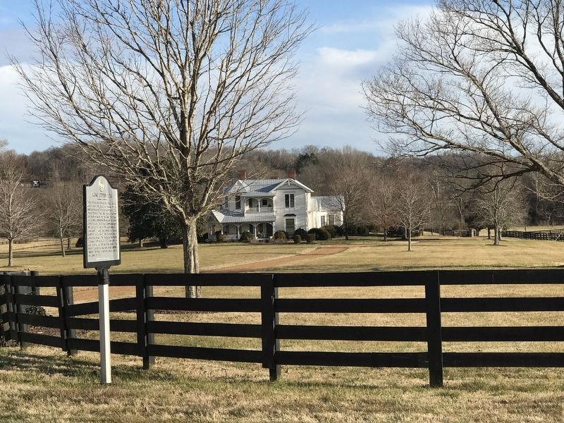
 
Along Leiper's Fork / Dr. George B. Hunter Farm Marker image. Click for full size.
Photographed by Duane and Tracy Marsteller, February 6, 2021
3. Along Leiper's Fork / Dr. George B. Hunter Farm Marker
 
 
Credits. This page was last revised on February 7, 2021. It was originally submitted on February 6, 2021, by Duane and Tracy Marsteller of Murfreesboro, Tennessee. This page has been viewed 1,014 times since then and 61 times this year. Photos:   1, 2, 3. submitted on February 6, 2021, by Duane and Tracy Marsteller of Murfreesboro, Tennessee.

m=166397

CeraNet Cloud Computing sponsors the Historical Marker Database.
This website earns income from purchases you make after using our links to Amazon.com. We appreciate your support.
Paid Advertisement
Jul. 18, 2026