Manchester in Coffee County, Tennessee — The American South (East South Central)
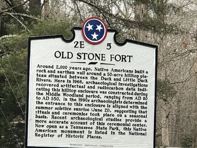
Old Stone Fort
Around 2,000 years ago, Native Americans built a rock and earthen wall around a 50-acre hilltop plateau situated between the Duck and Little Duck Rivers. Here in 1966, archaeological investigations recovered artifactual and radiocarbon data indicating this hilltop enclosure was constructed during the Middle Woodland period, ranging from AD 80 to AD 550. In the 1990s archaeologists determined the entrance to this enclosure is aligned with the summer solstice sunrise (June 21), suggesting that rituals and ceremonies took place on a seasonal basis. Recent archaeological studies provide a more accurate account of this ceremonial center. Now open as a Tennessee State Park, this Native American monument is listed in the National Register of Historic Places.
Erected by Tennessee Historical Commission. (Marker Number 2E 5.)
Topics and series. This historical marker is listed in these topic lists: Anthropology & Archaeology • Native Americans • Parks & Recreational Areas. In addition, it is included in the Tennessee Historical Commission series list.
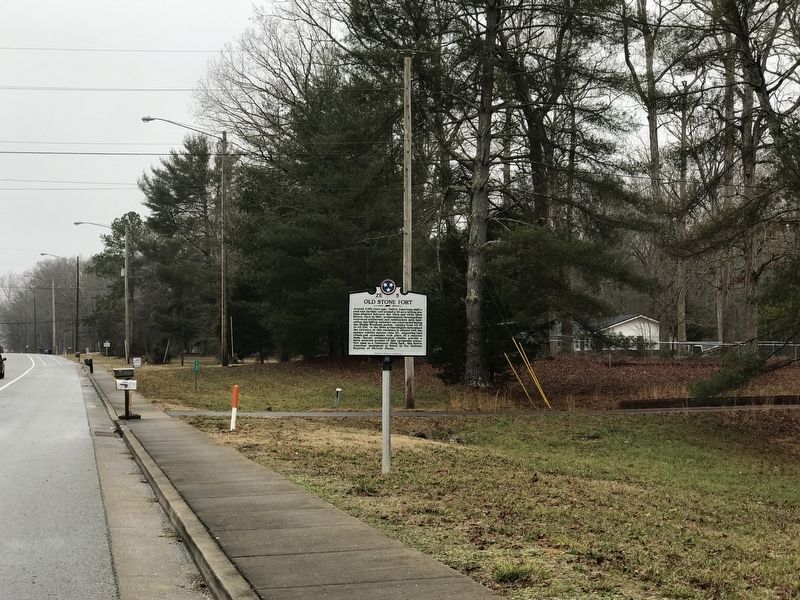
Location. 35° 29.659′ N, 86° 6.145′ W. Marker is in Manchester, Tennessee, in Coffee County. Marker is at the intersection of Murfreesboro Highway (U.S. 41) and Stone Fort Drive, on the right when traveling south on Murfreesboro Highway. Touch for map. Marker is at or near this postal address: 1747 Murfreesboro Highway, Manchester TN 37355, United States of America. Touch for directions.
Other nearby markers. At least 8 other markers are within one mile of this marker, measured as the crow flies. A different marker also named Old Stone Fort (approx. half a mile away); Manchester Powder Mill (approx. half a mile away); Experiment in Armor (approx. 0.8 miles away); Granny Hickerson Cemetery (approx. 0.9 miles away); Tullahoma Campaign (approx. 1.1 miles away); a different marker also named Tullahoma Campaign (approx. 1.1 miles away); Coffee County UDC Memorial (approx. 1.1 miles away); Vietnam War Memorial (approx. 1.1 miles away). Touch for a list and map of all markers in Manchester.
Also see . . . Old Stone Fort. National Register of Historic Places digital archive entry: Nomination form and photographs, from 1973. (Submitted on February 15, 2021, by Duane and Tracy Marsteller of Murfreesboro, Tennessee.)
Credits. This page was last revised on February 16, 2021. It was originally submitted on February 15, 2021, by Duane and Tracy Marsteller of Murfreesboro, Tennessee. This page has been viewed 174 times since then and 25 times this year. Photos: 1, 2. submitted on February 15, 2021, by Duane and Tracy Marsteller of Murfreesboro, Tennessee.

