Betterton in Kent County, Maryland — The American Northeast (Mid-Atlantic)
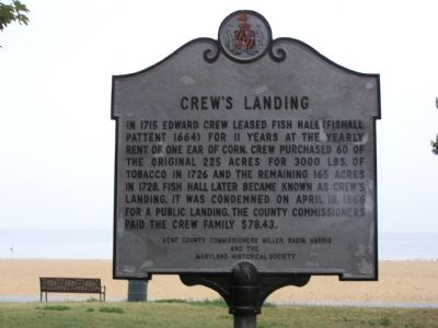
Crew’s Landing
Erected by Kent County Commissioners Miller, Rasin, Harris and Maryland Historical Society.
Topics. This historical marker is listed in these topic lists: Agriculture • Colonial Era • Industry & Commerce • Waterways & Vessels. A significant historical date for this entry is April 18, 1866.
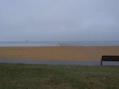
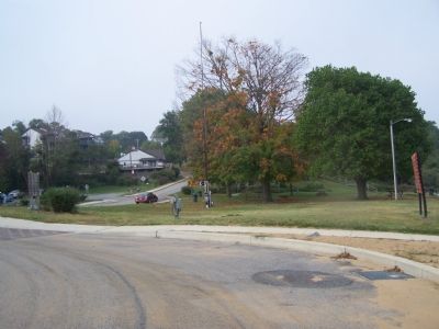
Location. 39° 22.239′ N, 76° 3.813′ W. Marker is in Betterton, Maryland, in Kent County. Marker is on Ericsson Avenue, 0.1 miles Main Street, on the right when traveling west. Marker is in Betterton Beach Park. Touch for map. Marker is in this post office area: Betterton MD 21610, United States of America. Touch for directions.
Other nearby markers. At least 8 other markers are within 5 miles of this marker, measured as the crow flies. Mary Roe Walkup Pavilion (a few steps from this marker); Betterton (within shouting distance of this marker); Hazelmore (approx. 3.1 miles away); Maryland’s First Women Voters (approx. 3.2 miles away); Welcome to the Kent Museum (approx. 4.3 miles away); Agricultural Demonstration Area / Historic Tree Grove (approx. 4.3 miles away); Captain John Smith on the Sassafras River (approx. 4.4 miles away); The Tockwogh and the Bay (approx. 4.4 miles away). Touch for a list and map of all markers in Betterton.
Credits. This page was last revised on February 18, 2021. It was originally submitted on October 19, 2007, by Bill Pfingsten of Bel Air, Maryland. This page has been viewed 1,716 times since then and 41 times this year. Last updated on February 17, 2021, by Carl Gordon Moore Jr. of North East, Maryland. Photos: 1, 2, 3. submitted on October 19, 2007, by Bill Pfingsten of Bel Air, Maryland. • J. Makali Bruton was the editor who published this page.


