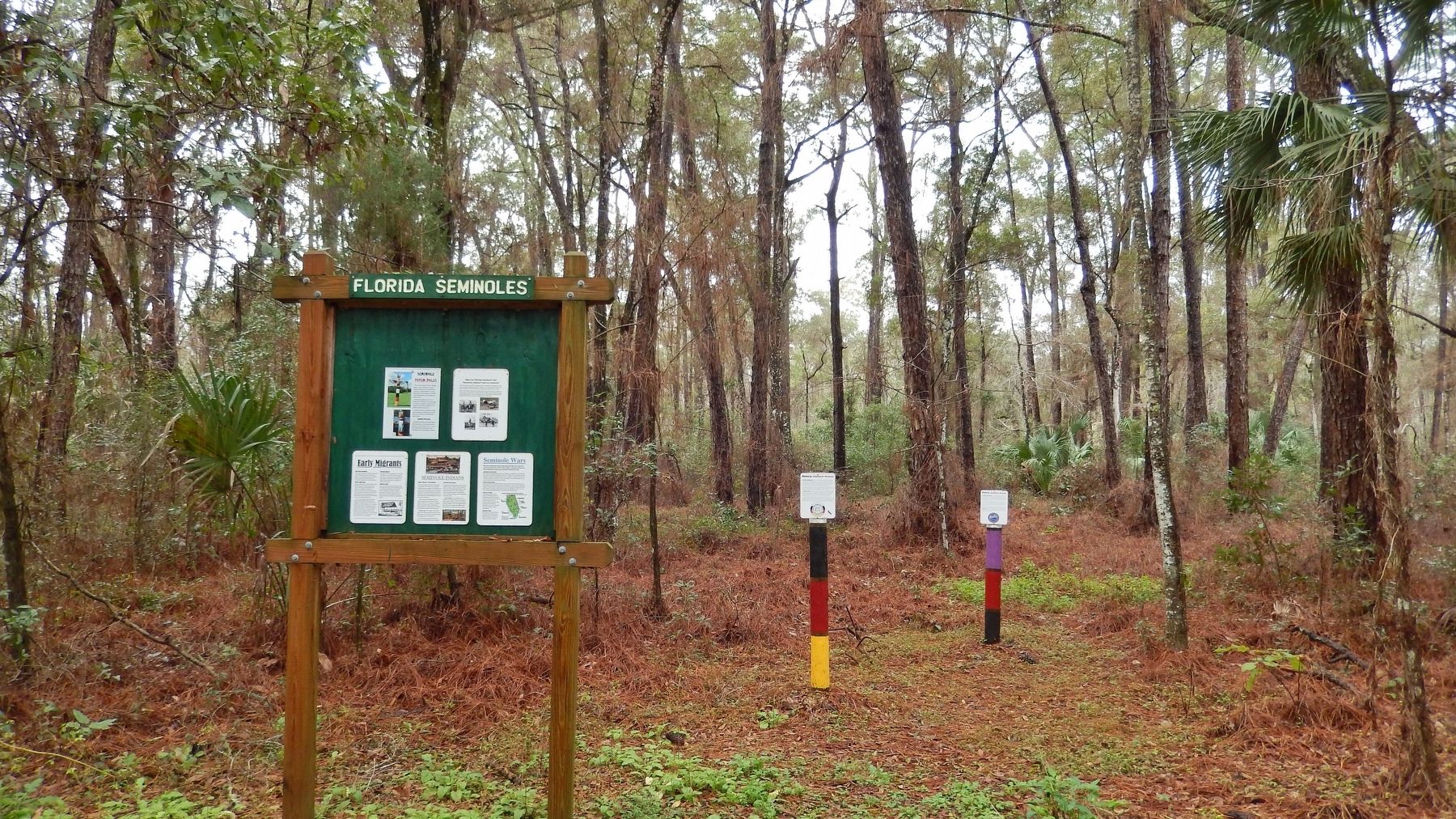
Near Ocala in Marion County, Florida — The American South (South Atlantic)
Florida Seminoles
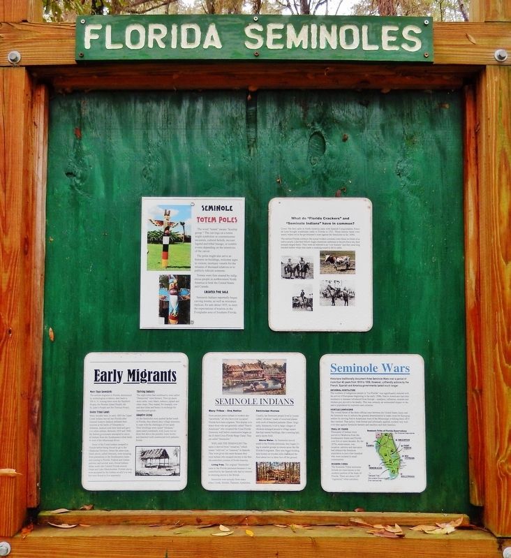
Historic Florida Barge Canal Trail
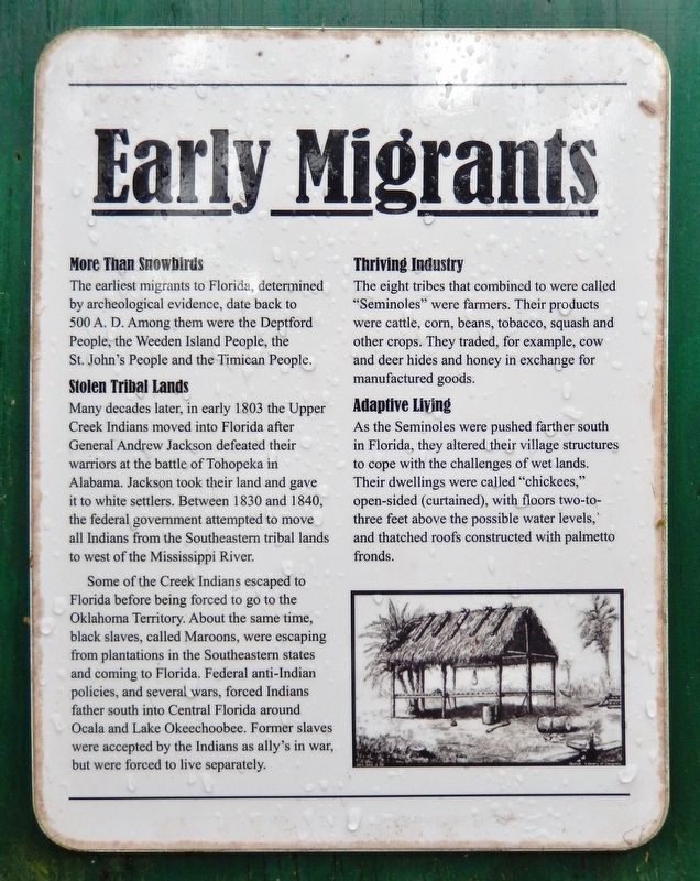
More Than Snowbirds
The earliest migrants to Florida, determined by archeological evidence, date back to 500 A. D. Among them were the Deptford People, the Weeden Island People, the St. John's People and the Timican People.
Stolen Tribal Lands
Many decades later, in early 1803 the Upper Creek Indians moved into Florida after General Andrew Jackson defeated their warriors at the battle of Tohopeka in Alabama. Jackson took their land and gave it to white settlers. Between 1830 and 1840, the federal government attempted to move all Indians from the Southeastern tribal lands to west of the Mississippi River.
Some of the Creek Indians escaped to Florida before being forced to go to the Oklahoma Territory. About the same time, black slaves, called Maroons, were escaping from plantations in the Southeastern states and coming to Florida. Federal anti-Indian policies, and several wars, forced Indians farther south into Central Florida around Ocala and Lake Okeechobee. Former slaves were accepted by the Indians as allies in war, but were forced to live separately.
Thriving Industry
The eight tribes that combined, called "Seminoles," were farmers. Their products were cattle, corn, beans, tobacco, squash and other crops. They traded, for example, cow and deer hides and honey in exchange for manufactured goods.
Adaptive Living
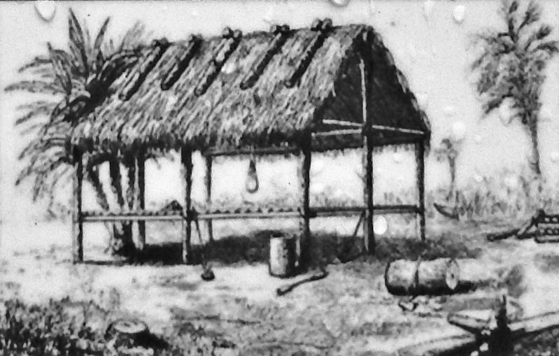
As the Seminoles were pushed farther south in Florida, they altered their village structures to cope with the challenges of wet lands. Their dwellings were called "chickees," open-sided (curtained), with floors two-to-three feet above the possible water levels, and thatched roofs constructed with palmetto fronds.
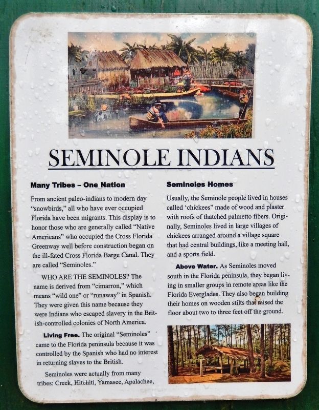
Many Tribes — One Nation
From ancient paleo-indians to modern day "snowbirds," all who have ever occupied Florida have been migrants. This display is to honor those who are generally called "Native Americans" who occupied the Cross Florida Greenway well before construction began on the ill-fated Cross Florida Barge Canal. They are called "Seminoles."
Who Are the Seminoles? The name is derived from "cimarron," which means "wild one" or "runaway" in Spanish. They were given this name because they were Indians who escaped slavery in the British-controlled colonies of North America.
Living Free. The original "Seminoles" came to the Florida peninsula because it was controlled by the Spanish who had no interest in returning slaves to the British.
Seminoles were actually from many tribes: Creek, Hitchiti, Yamasee, and Apalachee.
Seminoles Homes
Usually, the Seminole people lived in houses called "chickees" made of wood and plaster with roofs of thatched palmetto fibers. Originally, Seminoles lived in large villages of chickees arranged around a village square that had central buildings, like a meeting hall, and a sports field.
Above Water. As Seminoles moved south in the Florida peninsula, they began living in smaller groups in remote areas like the Florida Everglades. They also began building their homes on wooden stilts that raised the floor about two to three feet off the ground.
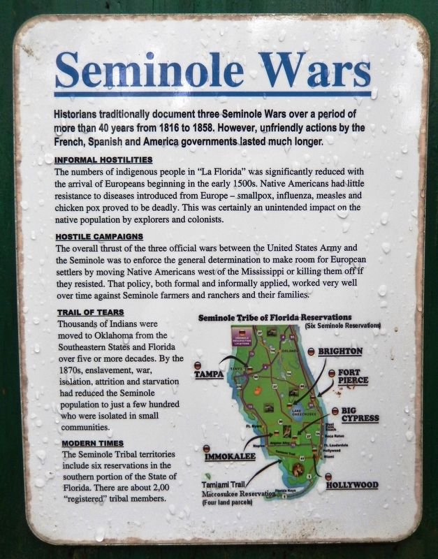
Historians traditionally document three Seminole Wars over a period of more than 40 years from 1816 to 1858. However, unfriendly actions by the French, Spanish and American governments lasted much longer.
Informal Hostilities
The numbers of indigenous people in "La Florida" was significantly reduced with the arrival of Europeans beginning in the early 1500s. Native Americans had little resistance to diseases introduced from Europe — smallpox, influenza, measles and chicken pox proved to be deadly. This was certainly an unintended impact on the native population by explorers and colonists.
Hostile Campaigns
The overall thrust of the three official wars between the United States Army and the Seminole was to enforce the general determination to make room
for European settlers by moving Native Americans west of the Mississippi or killing them off if they resisted. That policy, both formal and informally applied, worked very well over time against Seminole farmers and ranchers and their families.
Trail of Tears
Thousands of Indians were moved to Oklahoma from the Southeastern States and Florida over five or more decades. By the 1870s, enslavement, war, isolation, attrition and starvation had reduced the Seminole population to just a few hundred who were isolated in small communities.
Modern Times
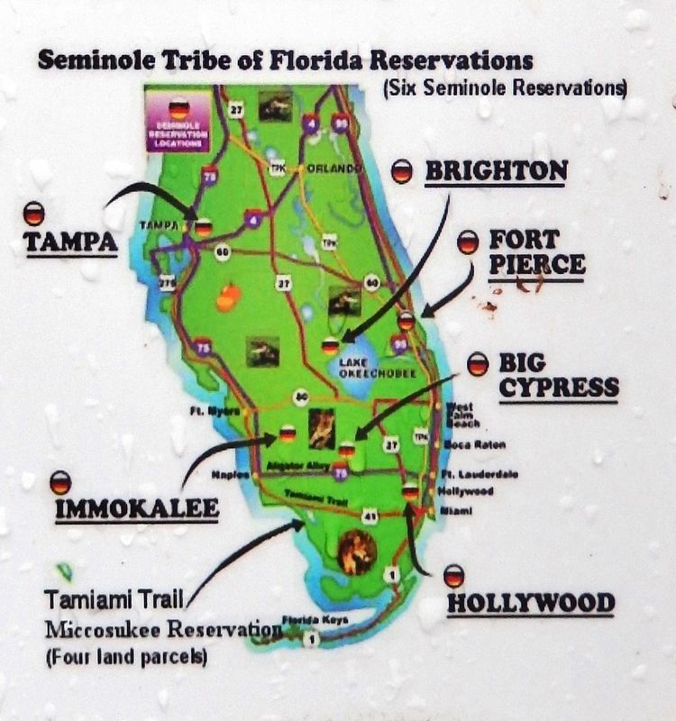
The Seminole Tribal territories include six reservations in the southern portion of the State of Florida. There are about 2,000 "registered" tribal members.
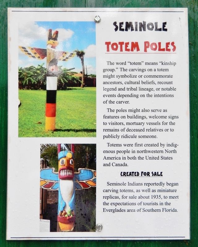
The word "totem" means "kinship group." The carvings on a totem might symbolize or commemorate ancestors, cultural beliefs, recount legend and tribal lineage, or notable events depending on the intentions of the carver.
The poles might also serve as features on buildings, welcome signs to visitors, mortuary vessels for the remains of deceased relatives or to publicly ridicule someone.
Totems were first created by indigenous people in northwestern North America in both the United States and Canada.
Created For Sale
Seminole Indians reportedly began carving totems, as well as miniature replicas, for sale about 1935, to meet the expectations of tourists in the Everglades area of Southern Florida.
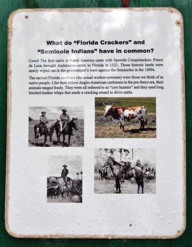
Cows! The first cattle in North America came with Spanish Conquistadors. Ponce de Leon brought Andalusian cattle to Florida in 1521. Those historic herds were nearly wiped out in the government's wars against the Seminoles in the 1899s.
The earliest Florida cowboys (the actual worker-cowmen) were those we think of as native people. Like their fellow Anglo-American cattlemen in the pre-fence era, their animals ranged freely. They were all referred to as "cow hunters" and they used long braided-leather whips that made a cracking sound to drive cattle.
Erected by Florida State Parks.
Topics and series. This historical marker is listed in these topic lists: Anthropology & Archaeology • Native Americans • Settlements & Settlers • Wars, US Indian. In addition, it is included in the Trail of Tears series list.
Location. 29° 6.125′ N, 82° 5.349′ W. Marker is near Ocala, Florida, in Marion County. Marker can be reached from the intersection of Southeast 80th Street (County Road 328) and South Pine Avenue (U.S. 441), on the right when traveling east. Marker is located along the trail at "The Island" - Cross Florida Barge Canal Interpretive Park, just south of the Marion County Sheriff's Station. Touch for map. Marker is at or near this postal address: 3260 Southeast 80th Street, Ocala FL 34480, United States of America. Touch for directions.
Other nearby markers. At least 8 other markers are within walking distance of this marker. A Tribe Lost: Timicua (here, next to this marker); Florida Seminole Nations History (here, next to this marker); Oklahoma Seminole Nations History (a few steps from this marker); Florida Crackers (a few steps from this marker); Cat Face (within shouting distance of this marker); Greenway Greenlife (within shouting distance of this marker); History: Crops (within shouting distance of this marker); Green Monsters (within shouting distance of this marker). Touch for a list and map of all markers in Ocala.
Related markers. Click here for a list of markers that are related to this marker. Historic Florida Barge Canal Trail
Credits. This page was last revised on February 21, 2021. It was originally submitted on February 20, 2021, by Cosmos Mariner of Cape Canaveral, Florida. This page has been viewed 357 times since then and 62 times this year. Photos: 1, 2, 3, 4, 5, 6, 7, 8, 9. submitted on February 21, 2021, by Cosmos Mariner of Cape Canaveral, Florida.
