Near Great Cacapon in Morgan County, West Virginia — The American South (Appalachia)
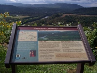
Panorama Overlook
Washington Heritage Trail
Photographed by Beverly Pfingsten, September 28, 2008
1. Washington Heritage Trail Marker
Today's View
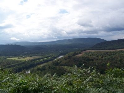
Panorama Overlook marks the north end of Cacapon Mountain's 30-mile march. Composed of Oriskany sandstone, it plunges nearly 1000 feet into the Potomac River, which bends along the base of the Overlook as it heads downstream (to the right) toward the Chesapeake Bay. West Virginia is the near side of the river. Maryland is the farmland on the far side. Looking downstream, the hazy mountains in the distance (right) are in Pennsylvania. The jumbled mountains to the left mark the beginning of the Eastern Continental Divide.
The tiny hamlet along the West Virginia side of the Potomac is Great Cacapon. Much of its area was surveyed by a young George Washington. Just downstream from the town is the confluence of the wild and scenic Cacapon River, snaking north from its origin. Further upstream from the town, Washington owned riverfront acreage which he prized for its virgin walnut trees.
The scene encapsulates America's transportation history showing the C&O Canal on the Maryland side of the river and the B&O Railroad on the West Virginia side. Construction started on both on the same day in 1828.
George Washington's View
Higher
this page online
Over the years, the view from Panorama has been lauded by many including the following: Art Association rates Panorama view the 10th finest in the world; Museum of Natural History in New York rates Panorama view the 5th finest in the US; National Geographic called it the "Switzerland View of America."
...one of the wildest, sublimest and most interesting views of mountain country interspersed with cultivated valleys and rivers, was to be seen, which our country afforded, rich as it was in scenery.
Lawrence Augustine Washington 1796
Erected by Travel Berkeley Springs.
Topics and series. This historical marker is listed in
Photographed by Devry Becker Jones (CC0), November 6, 2020
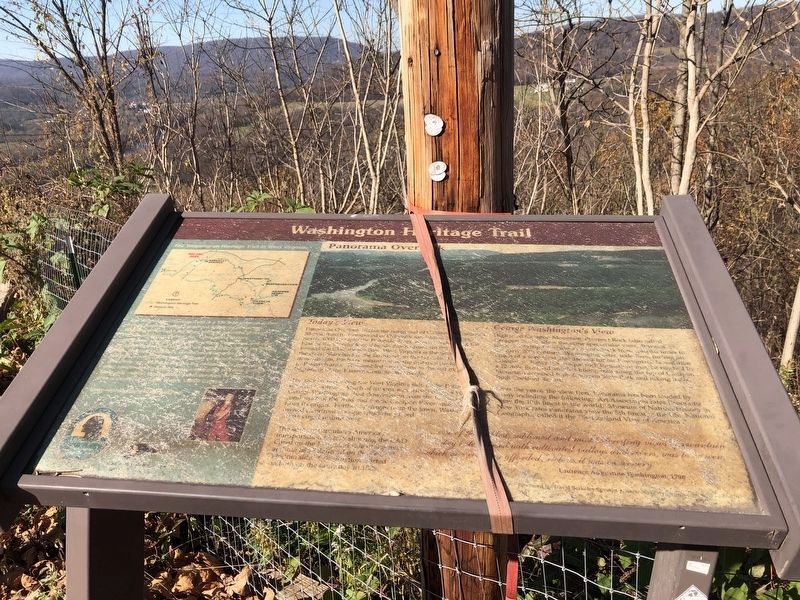
2. Panorama Overlook Marker
Unfortunately, the marker has weathered.
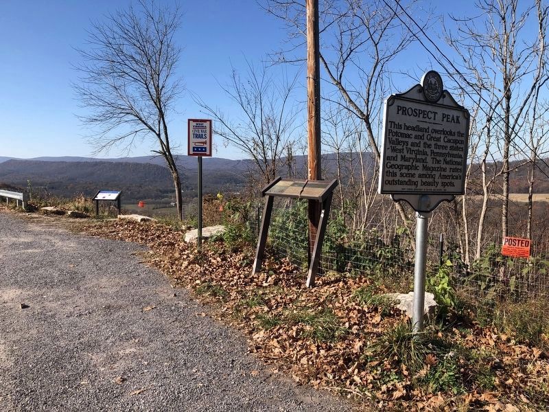
Location. 39° 37.36′ N, 78° 15.562′ W. Marker is near Great Cacapon, West Virginia, in Morgan County. It is on West Virginia Route 9, on the right when traveling west. Marker is across from restaurant at top of mountain. Touch for map. Marker is in this post office area: Berkeley Springs WV 25411, United States of America. Touch for directions.

Regionally, this marker is in the Eastern Panhandle. It is also in the American South, specifically in the Upper South, in Appalachia, and specifically in Northern Appalachia. Globally, it is in North America, the Western Hemisphere, the Western World, and the Anglosphere. Historically, it finds itself in what was once the territory of the Mississippian Culture.
Other nearby markers. At least 8 other markers are within
Photographed by Beverly Pfingsten, September 28, 2008
4. View from Panorama Overlook
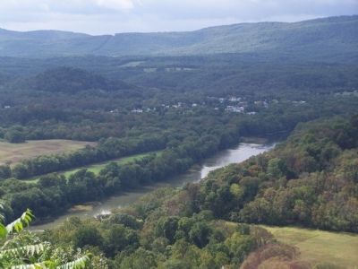
Photographed by Beverly Pfingsten, September 28, 2008
5. View from Panorama Overlook
Credits. This page was last revised on March 1, 2021. It was originally submitted on October 30, 2008, by Bill Pfingsten of Bel Air, Maryland. This page has been viewed 4,853 times since then and 353 times this year. Last updated on February 28, 2021, by Carl Gordon Moore Jr. of North East, Maryland. Photos: 1. submitted on October 30, 2008, by Bill Pfingsten of Bel Air, Maryland. 2, 3. submitted on November 7, 2020, by Devry Becker Jones of Washington, District of Columbia. 4, 5. submitted on October 30, 2008, by Bill Pfingsten of Bel Air, Maryland.
