Ball's Bluff National Cemetery
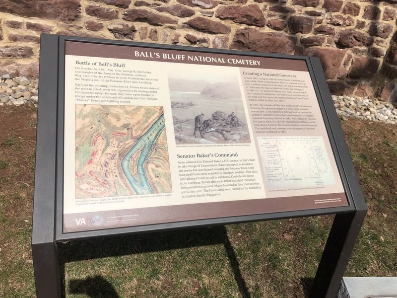
Battle of Ball's Bluff
On October 20, 1861, Maj. Gen. George B. McClellan, commander of the Army of the Potomac, ordered Brig. Gen. Charles P. Stone to scout Confederate forces on the Virginia side of the Potomac River near Leesburg.
Early on the morning of October 21, Union forces crossed the river to attack what was reported to be an unguarded Confederate camp. Instead, they came upon Southern troops under the command of Confederate Col. Nathan "Shanks" Evans and fighting ensued.
Senator Baker's Command
Stone ordered Col. Edward Baker, a U.S. senator, to Ball's Bluff to take charge of Union forces. Baker attempted to reinforce the troops but was delayed crossing the Potomac River. Only four small boats were available to transport soldiers. This extra time allowed Evans to call additional Confederate forces from Leesburg. By late afternoon Baker was dead. Panicked Union soldiers retreated. Many drowned as they tried to swim across the river. The Union dead were buried on the battlefield in shallow, hastily dug graves.
Creating a National Cemetery
In April 1862, a surgeon with the Pennsylvania Volunteers was
this page online
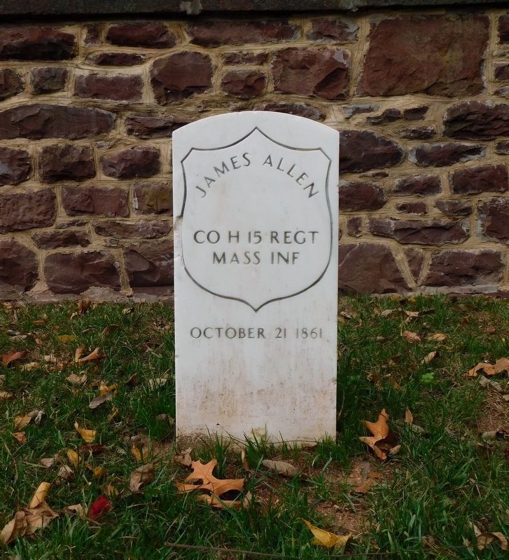
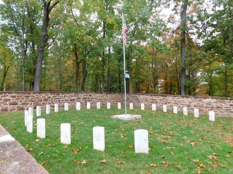
By 1871, the remains of fifty-four soldiers had been interred in twenty-five graves arranged in a semi-circle around a central path. A red sandstone was built to enclose the cemetery. Attempts to have the remains moved to Arlington National Cemetery, the last in 1882, were ultimately rejected. Pvt. James Allen, Co. H, 15th Massachusetts Infantry, is the only known burial in the second-smallest national cemetery. The battlefield and cemetery were designated a National Historic Landmark in 1984.
Erected by National Cemetery Administration, U.S. Department of Veterans Affairs.
Topics and series. This historical marker is listed in these topic lists: Cemeteries & Burial Sites • War, US Civil • Waterways & Vessels.
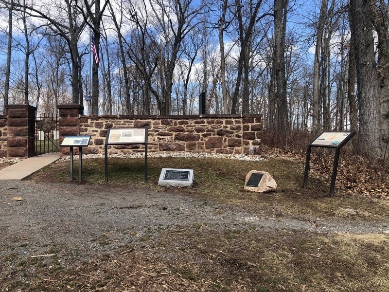
Location. 39° 7.908′ N, 77° 31.649′ W. Marker is in Leesburg, Virginia, in Loudoun County. It can be reached from Balls Bluff Park east of Balls Bluff Road, on the right when traveling west. Touch for map. Marker is in this post office area: Leesburg VA 20176, United States of America. Touch for directions.

Regionally, this marker is in the Washington Metropolitan Area and in Northern Virginia. It is also in the American South, specifically in the Upper South, and in the Mid-Atlantic. Globally, it is in North America, the Western Hemisphere, the Western World, and the Anglosphere. Historically, it finds itself in what was once the territory of the Mississippian Culture, one of the original Thirteen Colonies, one of the Confederate States of America, and the Antebellum South.
Other nearby markers. At least 8 other markers are within walking distance of this marker: A different marker also named Ball's Bluff National Cemetery (here, next to this marker); Edward D. Baker
Another marker is no longer nearby. Ball’s Bluff National Cemetery (was here, next to this marker but has been replaced with another marker now near it).
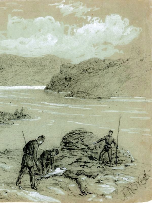
by Alfred R. Waud
Credits. This page was last revised on August 16, 2023. It was originally submitted on March 6, 2021, by Devry Becker Jones of Washington, District of Columbia. This page has been viewed 577 times since then and 36 times this year. Photos: 1, 2. submitted on March 6, 2021, by Devry Becker Jones of Washington, District of Columbia. 3, 4. submitted on March 7, 2021, by Bradley Owen of Morgantown, West Virginia. 5. submitted on August 16, 2023, by Allen C. Browne of Silver Spring, Maryland. 6, 7, 8. submitted on March 6, 2021, by Devry Becker Jones of Washington, District of Columbia.
