Near Waynesville in Haywood County, North Carolina — The American South (South Atlantic)
Cataloochee
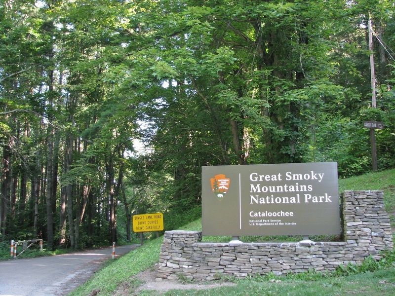
Great Smoky Mountains National Park
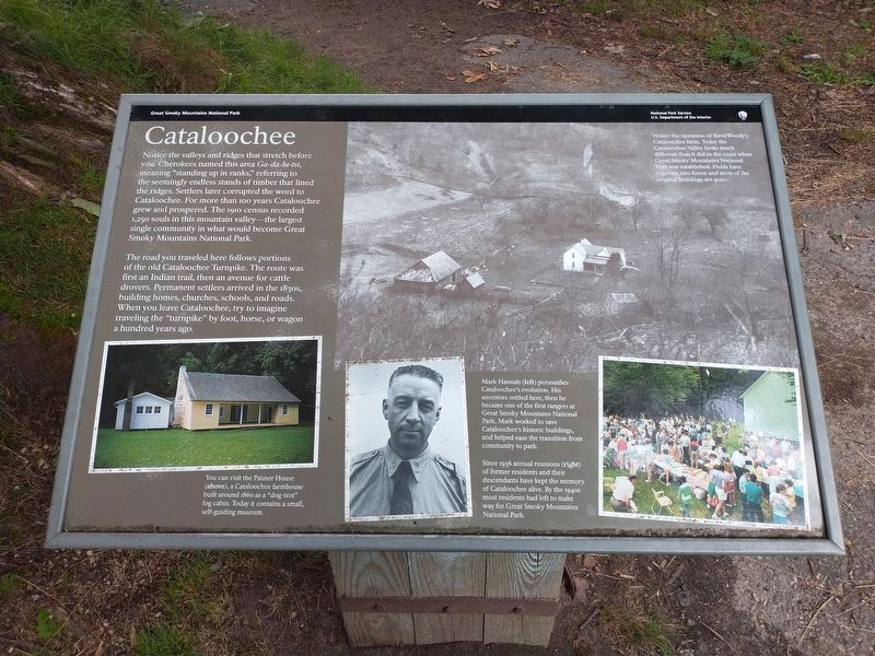
The road you traveled here follows portions of the old Cataloochee Turnpike. The route was first an Indian trail, then an avenue for cattle drovers. Permanent settlers arrived in the 1830s, building homes, churches, schools, and roads. When you leave Cataloochee, try to imagine traveling the "turnpike" by foot, horse, or wagon a hundred years ago.
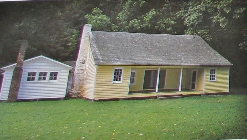
[photo caption]
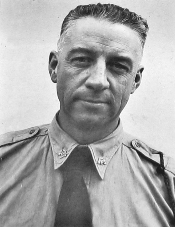
Since 1936 annual reunions of former residents and their descendants have kept the memory of Cataloochee alive. By the 1940s most residents had left to make way for Great Smoky Mountains National Park.
Erected by National Park Service, U.S. Department of the Interior.
Topics. This historical marker is listed in these topic lists: Native Americans • Parks & Recreational Areas • Roads & Vehicles • Settlements & Settlers.
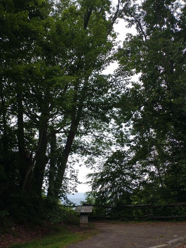
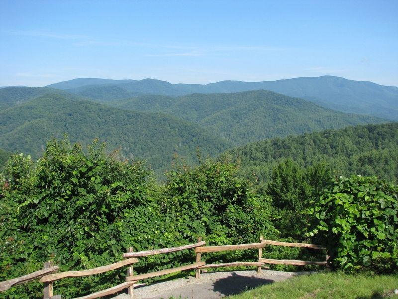
Location. 35° 38.384′ N, 83° 3.685′ W. Marker is near Waynesville, North Carolina, in Haywood County. Marker can be reached from Cataloochee Entrance Road near Old Cataloochee Turnpike (Cove Creek Road). Marker is located at the Cataloochee Valley Overlook, about 8 miles northwest of US Highway 276 via Cove Creek Road (State Road 1395). Touch for map. Marker is in this post office area: Waynesville NC 28785, United States of America. Touch for directions.
Other nearby markers. At least 8 other markers are within 10 miles of this marker, measured as the crow flies. Welcome to Cataloochee (approx. 1.6 miles away); Cataloochee Homeland (approx. 1.6 miles away); "Cataloochee Trail" (approx. 4.1 miles away); No-till Farming (approx. 7.4 miles away); Kirk's Raid (approx. 8.6 miles away); Felix Walker (approx. 8.7 miles away); Francis Asbury Trail (approx. 8.8 miles away); Bishop Francis Asbury (approx. 9.1 miles away).
Also see . . .
1. History of Cataloochee. The Cherokee first discovered the valley when they came through the Smokies hunting and fishing, but they never settled permanently in the valley. When the first Europeans arrived in the valley in
the early 1800s, all of the land belonged to Colonel Robert Love. Colonel Love was a post-Revolutionary War speculator who granted land and homesteads to families to develop. (Submitted on March 19, 2021, by Cosmos Mariner of Cape Canaveral, Florida.)
2. Cataloochee History (Wikipedia). The Cataloochee Trail stretched from the Cove Creek area to what is now Cosby, Tennessee. The modern Cove Creek Road closely parallels this trail. By the time the first European explorers and traders arrived, the trail had been worn a foot deep in some places. The Cherokee gave up their claims to Cataloochee when they signed the Treaty of Holston in 1791. (Submitted on March 19, 2021, by Cosmos Mariner of Cape Canaveral, Florida.)
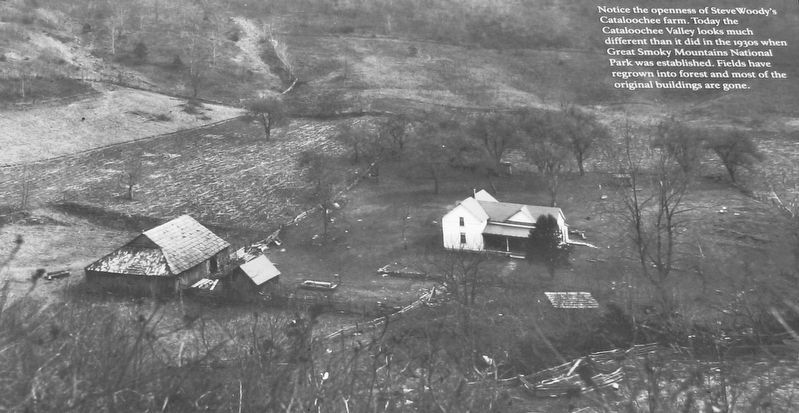
4. Marker detail: Steve Woody's Cataloochee Farm
Notice the openness of Steve Woody's Cataloochee farm. Today the Cataloochee Valley looks much different than it did in the 1930s when Great Smoky Mountains National Park was established. Fields have regrown into forest and most of the original buildings are gone.
Credits. This page was last revised on August 9, 2023. It was originally submitted on March 19, 2021, by Cosmos Mariner of Cape Canaveral, Florida. This page has been viewed 343 times since then and 37 times this year. Photos: 1. submitted on August 8, 2023, by Tom Bosse of Jefferson City, Tennessee. 2, 3, 4. submitted on March 19, 2021, by Cosmos Mariner of Cape Canaveral, Florida. 5, 6. submitted on August 8, 2023, by Tom Bosse of Jefferson City, Tennessee. 7, 8. submitted on March 19, 2021, by Cosmos Mariner of Cape Canaveral, Florida.
