St. Johns in Auglaize County, Ohio — The American Midwest (Great Lakes)
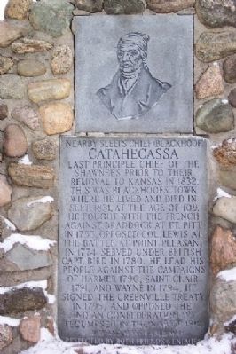
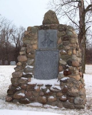
Catahecassa
Blackhoof Memorial
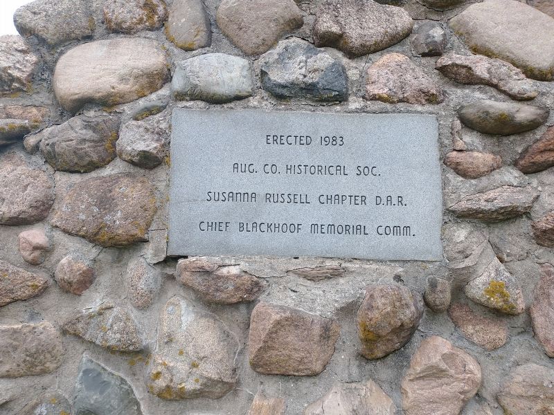
Erected 1983 by Auglaize County Historical Society, Susanna Russell Chapter D.A.R.,and Chief Blackhoof Memorial Committee.
Topics and series. This historical marker is listed in these topic lists: Cemeteries & Burial Sites • Colonial Era • Native Americans • Peace • War of 1812 • War, French and Indian • War, US Revolutionary • Wars, US Indian. In addition, it is included in the Daughters of the American Revolution series list. A significant historical month for this entry is September 1831.
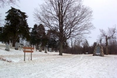
Location. 40° 33.409′ N, 84° 5.025′ W. Marker is in St. Johns, Ohio, in Auglaize County. Marker is at the intersection of U.S. 33 and Ohio Route 65, on the left when traveling east on U.S. 33. Touch for map. Marker is in this post office area: Saint Johns OH 45884, United States of America. Touch for directions.
Other nearby markers. At least 8 other markers are within 5 miles of this marker, measured as the crow flies. Blackhoof's Last Home (about 400 feet away, measured in a direct line); First On The Moon (approx. 1.6 miles away); Wapaghonetta Reservation (approx. 2 miles away); Uniopolis Veterans Memorial (approx. 3.1 miles away); Uniopolis Town Hall (approx. 3.1 miles away); Uniopolis Veteran's Park (approx. 3.1 miles away); St. John Catholic Church and Parish Hall (approx. 4.4 miles away); Space Exploration Memorial (approx. 4.7 miles away).
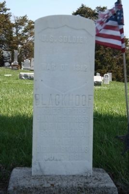
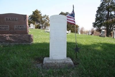
Regarding Catahecassa. Located near the Blackhoof Memorial, on the western edge of the cemetery, is the final resting place of Chief Blackhoof. His gravestone is one that is provided by the federal government for anyone who is considered to be a veteran because they have served in the US Military. His gravestone is located at N 40.33.408 by W 084.05.066. The text on his gravestone reads as follows:
War of 1812
Blackhoof
Chief of the
Shawnee Tribes
of Indians
Born in Florida
in 1711
Died in St.Johns
June 1831
In addition to his grave, the site of Chief Blackhoof's last home is also located nearby and is marked with a historical marker. It is located just north of US 33, in the nearby town of St. Johns, just west of the intersection of Walnut Street and Center Street.
Also see . . . Catahecassa - Ohio History Central. (Submitted on March 15, 2009, by William Fischer, Jr. of Scranton, Pennsylvania.)
Credits. This page was last revised on July 9, 2022. It was originally submitted on March 12, 2009, by William Fischer, Jr. of Scranton, Pennsylvania. This page has been viewed 2,342 times since then and 50 times this year. Photos: 1, 2, 3. submitted on March 12, 2009, by William Fischer, Jr. of Scranton, Pennsylvania. 4, 5. submitted on April 10, 2010, by Dale K. Benington of Toledo, Ohio. 6. submitted on June 5, 2022, by Craig Doda of Napoleon, Ohio. • Bill Pfingsten was the editor who published this page.
