Near Greenville in Wayne County, Missouri — The American Midwest (Upper Plains)
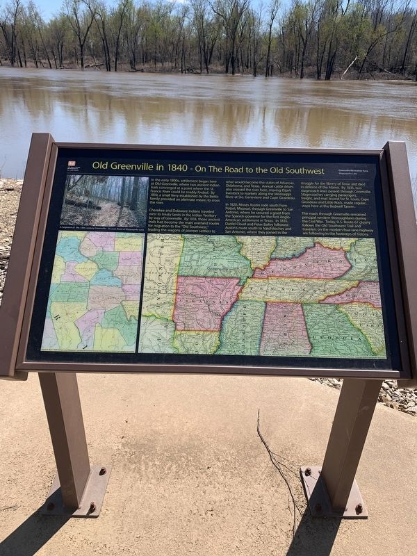
Old Greenville in 1840 - On The Road to the Old Southwest
Greenville Recreation Area
— Wappapello Lake —
Inscription.
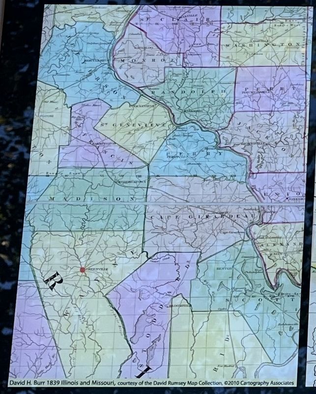
In the early 1800s, settlements began here at Old Greenville, where two ancient Indian trails converged at a point where the St. Francis River could be readily forded. By 1810, a small ferry established by the Bettis family provided an alternate means to cross the river.
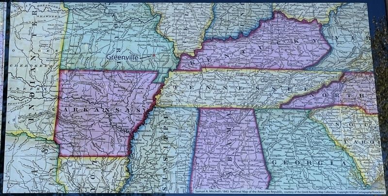
Cherokee and Delaware Indians traveled west to treaty lands in the Indian Territory by way of Greenville. By 1818, those ancient trails had become the main overland routes for migration to the "Old Southwest," leading the wagons of pioneer settlers to what would become the states of Arkansas, Oklahoma, and Texas. Annual cattle drives also crossed the river here, moving Ozark livestock to markets along the Mississippi River at Ste. Genevieve and Cape Girardeau.
In 1820, Moses Austin rode south from Potosi, Missouri, through Greenville to San Antonio, where he secured a grant from the Spanish governor for the first Anglo-American settlement in Texas. In 1835, Daniel Cloud and Peter Bailey followed Austin's route south to Natchitoches and San Antonio, where they joined in the struggle for the liberty of Texas and died in defense of the Alamo. By 1835, two stagecoach lines passed through Greenville. Stagecoaches carrying passengers, freight, and mail bound for St. Louis, Cape Girardeau and Little Rock, made regular stops here at the Bedwell Tavern.
The roads through Greenville remained principle western thoroughfares during the Civil War. Today, U.S. Routes 67 closely follows the Old Southwest Trail and travelers on the modern four-lane highway are following in the footsteps of history.
Erected by St. Louis District, US Army Corps of Engineers.
Topics. This historical marker is listed in these topic lists: Native Americans • Roads & Vehicles • Settlements & Settlers • Waterways & Vessels. A significant historical year for this entry is 1810.
Location. 37° 5.759′ N, 90° 27.171′ W. Marker is near Greenville, Missouri, in Wayne County. Marker can be reached from U.S. 67, 0.2 miles north of State Highway FF, on the right when traveling north. Located at the boat ramp within the Greenville Recreation Area. Touch for map. Marker is in this post office area: Greenville MO 63944, United States of America. Touch for directions.
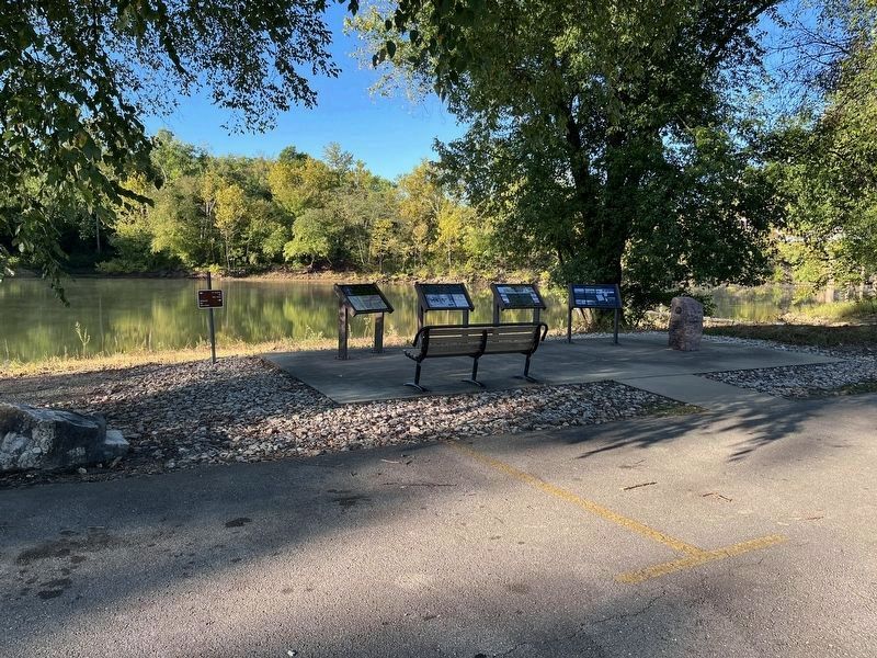
Other nearby markers. At least 8 other markers are within walking distance of this marker. Cherokee Trail of Tears (here, next to this marker); Crossing the St. Francis River at Old Greenville (here, next to this marker); Old Greenville's Flood History (here, next to this marker); Bettis Ferry (a few steps from this marker); Bedwell Tavern (approx. ¼ mile away); Old Greenville's Timmons Street Business District (approx. 0.3 miles
away); Memory Lane Trail (approx. 0.3 miles away); Old Greenville - Hiram N. Hollady's Company Town (approx. 0.3 miles away). Touch for a list and map of all markers in Greenville.
Credits. This page was last revised on October 27, 2022. It was originally submitted on March 30, 2021, by Thomas Smith of Waterloo, Ill. This page has been viewed 338 times since then and 79 times this year. Photos: 1. submitted on March 30, 2021, by Thomas Smith of Waterloo, Ill. 2, 3, 4, 5. submitted on October 10, 2022, by Craig Swain of Leesburg, Virginia. • Devry Becker Jones was the editor who published this page.
