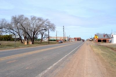
Crowell in Foard County, Texas — The American South (West South Central)
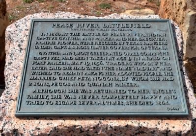
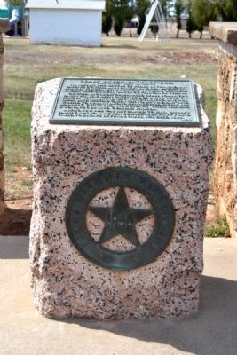
Pease River Battlefield
(Site Located 8 Miles Northeast)
In 1860 at the Battle of Pease River, Indian captive Cynthia Ann Parker and her daughter, Prairie Flower, were rescued by Texas Rangers under Capt. L.S. Ross (later Governor of Texas).
Cynthia Ann, most celebrated of all Comanche captives, had been taken at age 9 in a raid on Fort Parker, May 19, 1836. Traders who saw her later said she had taken the name “Naduah” and wished to remain among her adopted people. She married Chief Peta Nocona, by whom she had 2 sons, Pecos and Quanah Parker.
Although she was returned to her uncle’s family, she was never completely happy and tried to escape several times. She died 1864.
Erected 1936 by Texas Highway Department. (Marker Number 3966.)
Topics and series. This historical marker is listed in these topic lists: Native Americans • Wars, US Indian. In addition, it is included in the Texas 1936 Centennial Markers and Monuments series list. A significant historical date for this entry is May 19, 1818.
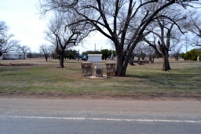
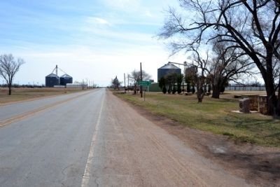
Location. 33° 58.89′ N, 99° 43.515′ W. Marker is in Crowell, Texas, in Foard County. Marker is on Main Street (State Highway 6) south of W. Austin Street, on the right when traveling south. Touch for map. Marker is in this post office area: Crowell TX 79227, United States of America. Touch for directions.
Other nearby markers. At least 8 other markers are within 4 miles of this marker , measured as the crow flies. First Officials of Foard County (about 800 feet away, measured in a direct line); Foard County Courthouse (about 800 feet away); Foard Co (about 800 feet away); Robert L. Foard (approx. 0.2 miles away); Quanah Parker Trail (approx. 0.3 miles away); First Christian Church (approx. 0.3 miles away); Crowell Schools (approx. 0.7 miles away); Foard County (approx. 3.1 miles away). Touch for a list and map of all markers in Crowell.
More about this marker. The marker was originally installed in 1936. A replacement bronze tablet was installed in 1968. It originally stated "Four miles to the Pease River Battlefield".
Also see . . . Battle of Pease River - Wikipedia entry. (Submitted on March 13, 2015.)
Credits. This page was last revised on April 8, 2021. It was originally submitted on March 13, 2015, by Duane Hall of Abilene, Texas. This page has been viewed 1,352 times since then and 142 times this year. Last updated on April 8, 2021, by Allen Lowrey of Amarillo, Texas. Photos: 1, 2, 3, 4, 5. submitted on March 13, 2015, by Duane Hall of Abilene, Texas. • J. Makali Bruton was the editor who published this page.
