Lower Chanceford Township near Airville in York County, Pennsylvania — The American Northeast (Mid-Atlantic)
Indigenous Peoples of the Susquehanna Valley
Inscription.
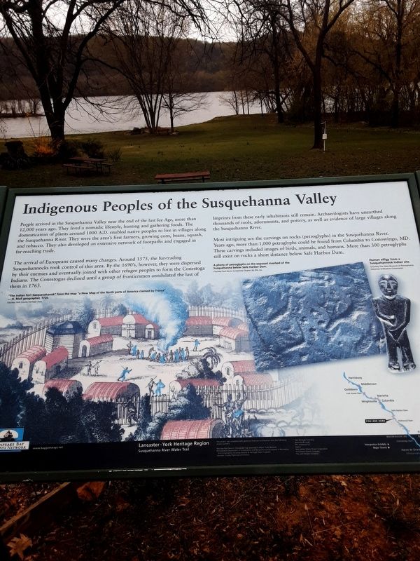
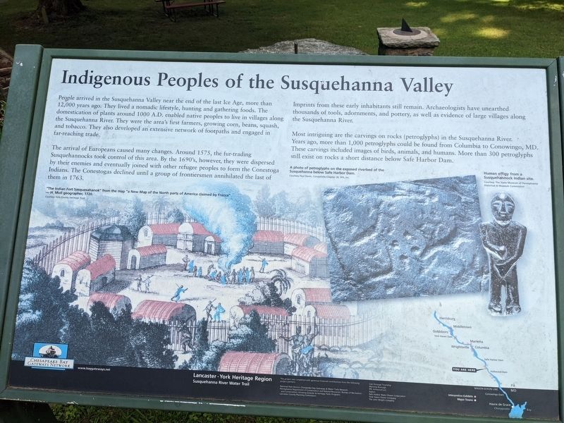
People arrived in the Susquehanna Valley near the end of the last Ice Age, more than 12,000 years ago. They lived a nomadic lifestyle, hunting and gathering foods. The domestication of plants around 1000 A.D. enabled native peoples to live in villages along the Susquehanna River. They were the area's first farmers, growing corn, beans, squash, and tobacco. They also developed an extensive network of footpaths and engaged in far-reaching trade.
The arrival of Europeans caused many changes. Around 1575, the fur-trading Susquehannocks took control of this area. By the 1690's, however, they were dispersed by their enemies and eventually joined with other refugee peoples to form the Conestoga Indians. The Conestogas declined until a group of frontiersmen annihilated the last of them in 1763.
Imprints from these early inhabitants still remain. Archaeologists have unearthed thousands of tools, adornments, and pottery, as well as evidence of large villages along the Susquehanna River.
Most intriguing are the carvings on rocks (petroglyphs) in the Susquehanna River. Years ago, more than 1,000 petroglyphs could be found from Columbia to Conowingo, MD. These carvings included images of birds, animals, and humans. More than 300 petroglyphs still exist on rocks a short distance below Safe Harbor Dam.
Topics. This historical marker is listed in these topic lists: Anthropology & Archaeology • Colonial Era • Native Americans.
Location. 39° 51.797′ N, 76° 22.532′ W. Marker is near Airville, Pennsylvania, in York County. It is in Lower Chanceford Township. Marker is on Indian Steps Road, 0.7 miles south of Furnace Road (Pennsylvania Route 425), on the left when traveling south. Touch for map. Marker is at or near this postal address: 205 Indian Steps Road, Airville PA 17302, United States of America. Touch for directions.
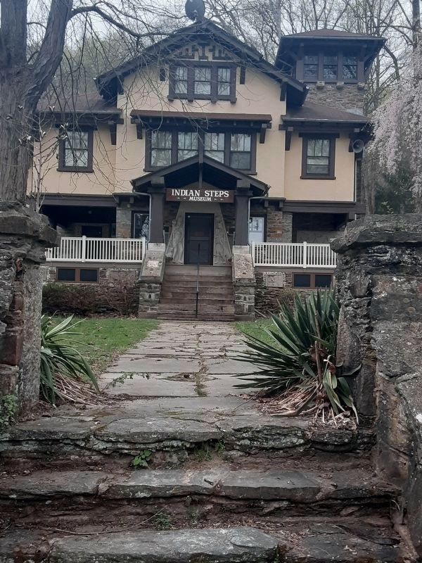
Other nearby markers. At least 8 other markers are within walking distance of this marker. A Story Told by Our Totem Pole (here, next to this marker); Indian Steps (a few steps from this marker); Indian Steps Cabin (a few steps from this marker); The River's Ways (approx. 0.7 miles away); Susquehanna River Water Trail (approx. 0.7 miles away); York Furnace Bridge (approx. 0.9 miles away); Susquehanna Canal (approx. 0.9 miles away); Susquehanna and Tidewater Canal (approx. 0.9 miles away). Touch for a list and map of all markers in Airville.
Credits. This page was last revised on February 7, 2023. It was originally submitted on April 11, 2021, by Carl Gordon Moore Jr. of North East, Maryland. This page has been viewed 279 times since then and 49 times this year. Last updated on April 13, 2021, by Carl Gordon Moore Jr. of North East, Maryland. Photos: 1. submitted on April 11, 2021, by Carl Gordon Moore Jr. of North East, Maryland. 2. submitted on August 4, 2022, by William Pope of Marietta, Pennsylvania. 3, 4. submitted on April 11, 2021, by Carl Gordon Moore Jr. of North East, Maryland. • Devry Becker Jones was the editor who published this page.


