Near Williamsburg in James City County, Virginia — The American South (Mid-Atlantic)
Backstreet – Jamestown’s Main Street 1620-1699
Inscription.
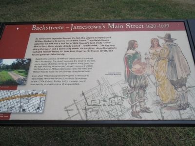
As Jamestown expanded beyond the fort, the Virginia Company sent William Claiborne to survey lots in New Towne. There Ralph Hamor patented an acre and a half lot in 1624. Hamor’s deed made it clear that at least three streets already existed – “Backstreete,” “the highway along the river,” and a connecting street. His neighbors along Backstreete included William Peirce, Dr. John Pott, Governor Sir Francis Wyatt, and future governor John Harvey.
Backstreete served as Jamestown’s main street throughout the 17th century. The church anchored the street to the west, and a cluster of homes owned by Virginia’s ruling gentry to the east. Building incentives encouraged prominent citizens like Richard Kemp, William Sherwood, Henry Hartwell, and William May to build fine brick homes along Backstreete.
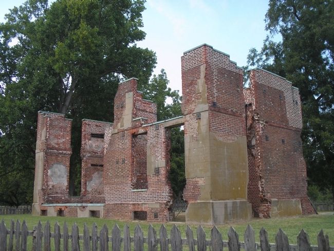
Even when Williamsburg became Virginia’s new capital, Backstreete remained the best location in Jamestown. In the 1750s, Richard Ambler built a mansion, now in ruins nearby, as a centerpiece of his plantation.
Erected by Colonial National Historic Park.
Topics. This historical marker is listed in these topic lists: Colonial Era • Roads & Vehicles. A significant historical year for this entry is 1624.
Location. 37° 12.502′ N, 76° 46.654′ W. Marker is near Williamsburg, Virginia, in James City County. Marker can be reached from Colonial Parkway, on the right when traveling west. Marker is in the "New Towne" section of the Historic Jamestown unit of Colonial National Historic Park. Touch for map. Marker is in this post office area: Jamestown VA 23081, United States of America. Touch for directions.
Other nearby markers. At least 8 other markers are within walking distance of this marker. The Greate Road – An Early Highway pre-1607-1700s (within shouting distance of this marker); Jamestown Tercentenary Monument (within shouting distance of this marker); A Jamestown Warehouse 1630s-1699 (within shouting distance of this marker); Foundations at Jamestown (within shouting distance of this marker); The Tombs of James and Sarah Blair (within shouting distance of this marker); The Tombstones (within shouting distance of this marker); Fort Extension, Blockhouse (within shouting distance of this marker); East Bulwark (within shouting distance of this marker). Touch for a list and map of all markers in Williamsburg.
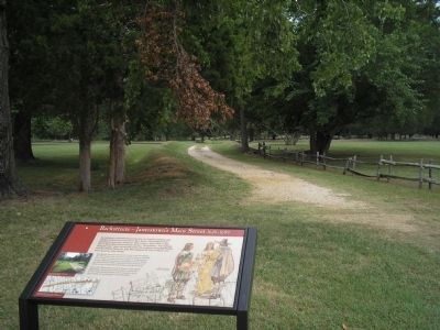
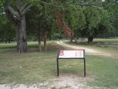
More about this marker. The right side of the marker contains a drawing of some of Jamestown’s gentry. The left of the marker features a current photo of Backstreet and a map of it’s length in New Towne.
Also see . . .
1. Backstreete - Main Street of Jamestown 1620 – 1699. Colonial National Historic Park from National Park Service website. (Submitted on March 16, 2009, by Bill Coughlin of Woodland Park, New Jersey.)
2. Historic Jamestowne. Historic Jamestowne is the site of the first permanent English settlement in America. The site is jointly administered by APVA Preservation Virginia and the National Park Service. (Submitted on March 16, 2009, by Bill Coughlin of Woodland Park, New Jersey.)
Credits. This page was last revised on December 1, 2016. It was originally submitted on March 16, 2009, by Bill Coughlin of Woodland Park, New Jersey. This page has been viewed 1,156 times since then and 25 times this year. Photos: 1, 2, 3, 4. submitted on March 16, 2009, by Bill Coughlin of Woodland Park, New Jersey.


