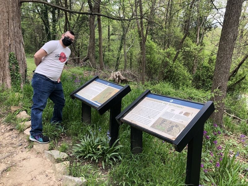
Transportation and Settlement
Gari Melchers Home and Studio

Below are the falls of the Rappahannock River. Long before Europeans arrived, this was an important meeting point for Algonquian peoples from the East and Siouan speakers from the West — all of whom were masters at using area waterways. This high ridge served as a lookout over the river and a place for crafting tools, such as projectile points, from area quartz.
Capt. John Smith reached this spot in 1608, and he may have marked it by placing a bras cross on a tree trunk or carving a cross in the bark. That year, he wrote of "setting up crosses and caring our names in the trees." Smith's map of Virginia features a pair of Maltese crosses marking where he reached the fall line, one is believed to have been near this location. Smith had hoped to explore a route to the Pacific Ocean, but his hopes were dashed when he was unable to get his boat over the rapids.
The Rappahannock also drew European settlers. They used its water to power mills and to ship goods to Europe from the bustling Falmouth harbor. Joseph B. Ficklen, who purchased Belmont in 1824, operated several mills here. Remnants of the canal that fed
this page online
[Sidebar:]
The Halifax projectile point above dates to the Middle Archaic Period, about 3500 to 2500 B.C. This was a period of hunting and gathering, before agriculture and pottery use in more permanent settlements of larger villages. Archaic people moved often, traveling to different area as natural resources became available. This tool, whose tip is broken off, would have been attached to spars or throwing darts used for hunting purposes.
The artifacts above are of the "biface" type, meaning they have sharp edges produced by removing material from both sides of the stone. This is a common type tool used in different time periods. The larger of two may have been set in a wood handle to use as an ax, and both could have been used as hand tools to cut and scrape materials as animal skins and plants.
These artifacts were found on the Belmont property.
Topics. This historical marker is listed in these topic lists: Anthropology & Archaeology • Exploration • Indigenous Peoples and Communities • Waterways & Vessels. A significant historical year for this entry is 1608.
Location. 38° 19.373′ N,

Regionally, this marker is in the Washington Metropolitan Area, in Northern Virginia, and in the Piedmont. It is also in the American South, specifically in the Upper South, in the Mid-Atlantic, and on the Eastern Seaboard. Globally, it is in the North Atlantic Region, North America, the Western Hemisphere, the Western World, and the Anglosphere. Historically, it finds itself in what was once the territory of the Mississippian Culture, one of the original Thirteen Colonies, one of the Confederate States of America, and the Antebellum South.
Other nearby markers. At least 8 other markers are within walking distance of this marker: Capt. John Smith (within shouting distance of this marker); Gari Melchers Home and Studio (within shouting distance of this marker); Belmont's Horseshoe Staircase (about 300 feet away, measured in a direct line); Preserving Meat (about 400 feet away); Cow Barn, 1921 (about 600 feet away); Hard Hand of War (about 600 feet away); Gari Melchers and his wife Corinne (about 600 feet away); Caretaker Cottage (about 600 feet away). Touch for a list and map of all markers in Falmouth.
Credits. This page was last revised on April 20, 2021. It was originally submitted on April 20, 2021, by Devry Becker Jones of Washington, District of Columbia. This page has been viewed 276 times since then and 21 times this year. Photos: 1, 2. submitted on April 20, 2021, by Devry Becker Jones of Washington, District of Columbia.
