Gaines in Orleans County, New York — The American Northeast (Mid-Atlantic)
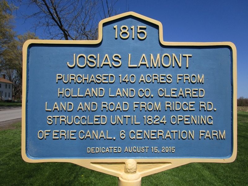
Josias Lamont
Photographed by Anton Schwarzmueller, April 23, 2021
1. Josias Lamont Marker
Josias Lamont
purchased 140 acres from
Holland Land Co. Cleared
land and road from Ridge Rd.
Struggled until 1824 opening
of Erie Canal. 6 generation farm
Erected 2015.
Topics. This historical marker is listed in these topic lists: Agriculture • Roads & Vehicles • Settlements & Settlers • Waterways & Vessels. A significant historical year for this entry is 1815.
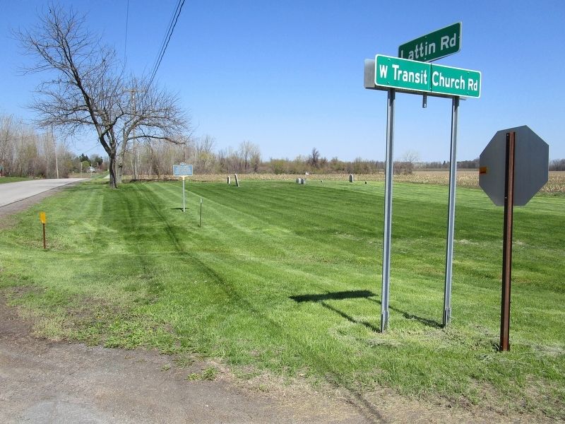
Location. 43° 16.464′ N, 78° 8.962′ W. Marker is in Gaines, New York, in Orleans County. It is at the intersection of Lattin Road and West Transit Church Road, on the right when traveling north on Lattin Road. Touch for map. Marker is in this post office area: Albion NY 14411, United States of America. Touch for directions.

Regionally, this marker is in Upstate New York, specifically in Western New York, in the Finger Lakes, and in the Rochester Metropolitan Area. It is also in the American Northeast and in the Mid-Atlantic. Globally, it is in North America, on the Great Lakes, in the Western Hemisphere, in the Western World, and in the Anglosphere. Historically, it finds itself in what was once the Haudenosaunee (Iroquois)
this page online
Other nearby markers. At least 8 other markers are within 3 miles of this marker, measured as the crow flies: Home of Katherine Belle Rowley (approx. 1.3 miles away); Pioneer Settler (approx. 1.7 miles away); Five Mile House (approx. 1.8 miles away); The Transit Line (approx. 2 miles away); Gaines District No.5 1849 School House (approx. 2.1 miles away); "The Brick Pond" (approx. 2.2 miles away); At Left: Cobblestone House Built in 1842 / At Right: Cobblestone House Built in 1844 (approx. 2.2 miles away); Cobblestone Historic District (approx. 2.3 miles away). Touch for a list and map of all markers in Gaines.
Photographed by Anton Schwarzmueller, April 23, 2021
2. Josias Lamont Marker
Northward view. Gravestones with family name Standish in background.
Credits. This page was last revised on April 23, 2021. It was originally submitted on April 23, 2021, by Anton Schwarzmueller of Wilson, New York. This page has been viewed 342 times since then and 28 times this year. Photos: 1, 2. submitted on April 23, 2021, by Anton Schwarzmueller of Wilson, New York.
