Williamsburg, Virginia — The American South (Mid-Atlantic)
Redoubt 1
Engineers Debate the Williamsburg Line
| — | 1862 Peninsula Campaign | — |
Photographed by Bill Coughlin, August 10, 2008
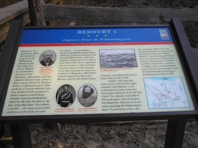
1. Redoubt 1 Marker
Soldiers and impressed slaves constructed the line, beginning here with Redoubt
this page online
Erected by Virginia Civil War Trails.
Topics and series. This historical marker is listed in these topic lists: Notable Events • Notable Places • War, US Civil. In addition, it is included in the Virginia Civil War Trails series list. A significant historical date for this entry is April 4, 1862.
Location. 37° 15.258′ N, 76° 41.15′ W. Marker is in Williamsburg, Virginia. It can be reached from Quarterpath Road, on the left when traveling south. Marker is located in Redoubt Park on Quarterpath Road in Williamsburg.
Photographed by Bill Coughlin, August 10, 2008
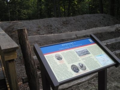
2. Marker in in Redoubt Park

Regionally, this marker is on Virginia’s Peninsula, in Coastal Virginia, and in the Hampton Roads Metropolitan Area. It is also in the American South, specifically in the Upper South, in the Tidewater, and on the Eastern Seaboard. Globally, it is in the North Atlantic Region, North America, the Western Hemisphere, the Western World, and the Anglosphere. Historically, it finds itself in what was once the territory of the Mississippian Culture, one of the original Thirteen Colonies, one of the Confederate States of America, and the Antebellum South.
Other nearby markers. At least 8 other markers are within walking distance of this marker: Quarterpath Road (within shouting distance of this marker); Battle of Williamsburg (within shouting distance of this marker); Defending the Peninsula (within shouting distance of this marker); Williamsburg in the Civil War (about 300 feet away, measured in a direct line); a different marker also named Battle of Williamsburg (approx. 0.3 miles away); Redoubt 2 (approx.
Photographed by Bill Coughlin, August 10, 2008
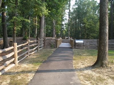
3. Redoubt 1 Marker
More about this marker. The marker contains photographs of Gen. John B. Magruder and Gen. Lafayette McLaws, Courtesy of Library of Congress, and of Benjamin S. Ewell, Courtesy of the Museum of the Confederacy. Also on the marker is a picture of Ft. Magruder and other Williamsburg redoubts from Battles and Leaders and a map of the Williamsburg Line fortifications.
Related markers. Click here for a list of markers that are related to this marker. Markers on the walking trail of Williamsburg’s Redoubt Park.
Also see . . .
1. Battle of Williamsburg, 5 May 1862. Williamsburg was the first large battlefield encounter between Union and Confederate forces during the Peninsula Campaign of 1862. (Submitted on August 20, 2008, by Bill Coughlin of Woodland Park, New Jersey.)
2. The Peninsula Campaign of 1862. (Submitted on August 20, 2008, by Bill Coughlin of Woodland Park, New Jersey.)
Photographed by Bill Coughlin, August 10, 2008
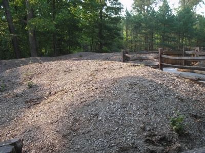
4. Earthworks near the Marker
This is an example of the earthworks located in the vicinity of the marker.

Photographed by Bill Coughlin, August 10, 2008
5. Redoubt 1
The walls of Redoubt 1 can be seen in this photo behind the marker.
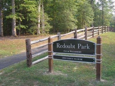
Photographed by Bill Coughlin
6. Williamsburg Redoubt Park
This park on Quarterpath Road contains a walking path that traverses the Confederate fortifications of the "Williamsburg Line." Several Civil War Trails signs are found along the path.
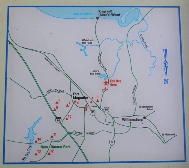
Photographed by Bill Coughlin, August 10, 2008
7. Williamsburg Line
The map on the marker shows the locations of each of the Confederate redoubts that made up the Williamsburg Line.
Credits. This page was last revised on November 3, 2024. It was originally submitted on August 20, 2008, by Bill Coughlin of Woodland Park, New Jersey. This page has been viewed 4,605 times since then and 63 times this year. Last updated on April 24, 2021, by Bradley Owen of Morgantown, West Virginia. Photos: 1, 2, 3, 4, 5, 6, 7. submitted on August 20, 2008, by Bill Coughlin of Woodland Park, New Jersey. • J. Makali Bruton was the editor who published this page.
