McDowell in Highland County, Virginia — The American South (Mid-Atlantic)
Highway to War
Staunton and Parkersburg Turnpike
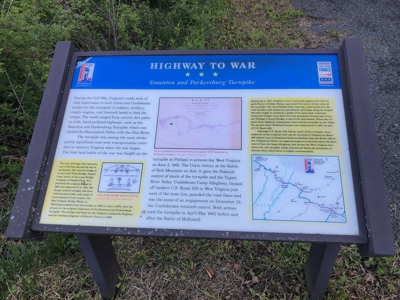
During the Civil War, Virginia's roads were of vital importance to both Union and Confederate armies for the transport of soldiers, artillery, supply wagons, and livestock herds to feed the troops. The roads ranged from narrow dirt paths to wide, hard-surfaced highways, such as the Staunton and Parkersburg Turnpike which connected the Shenandoah Valley with the Ohio River.
The turnpike was among the most strategically significant east-west transportation corridors in western Virginia when the war began. The first land battle of the war was fought on the turnpike at Philippi in present-day West Virginia on June 3, 1861. The Union victory at the Battle of Rich Mountain on July 11 gave the Federals control of much of the turnpike and the Tygart River Valley. Confederate Camp Allegheny, located off modern U.S. Route 250 in West Virginia just west of the state line, guarded the road there and was the scene of an engagement on December 13; the Confederates retained control. Both armies used the turnpike in April-May 1862 before and after the Battle of McDowell.
[Captions:]
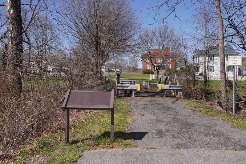
The type of bridge that was here over Crab Run during the war is not known. The current bridge is a rare Lane Truss Bridge. Daniel Lane, owner of the Lane Bridge Company in Painted Post, N.Y., patented the original design in 1890 and improved it in 1894. His design utilized straight and bent railroad and trolley rails made of steel instead of iron trusses. The West Virginia Bridge Works in Wheeling manufactured this bridge in 1896 to carry traffic over the stream on the original alignment of the Staunton and Parkersburg Turnpike. The bridge was listed on the Virginia Landmarks Register and the National Register of Historic Places in 2009.
Beginning in 1823, Claudius Crozet, principal engineer for the Virginia Board of Public Works, supervised the survey of the route of the turnpike. The 15-to-20-foot-wide road was constructed over the next decades with numerous switchbacks and loops along its roughly 230-mile length to maintain a grade of no more than 4 percent. Numerous bridges were built over the mountain streams and rivers; the Philippi Covered Bridge is one of the best known. When the Virginia State Highway Commission improved the turnpike in the 1920s, the present short McDowell bypass was constructed in 1927 as part of U.S. Route 250.
Although U.S. Route 250 follows much of the turnpike route, segments of the original road can be traveled in Virginia on Route 688 (paved) west of Staunton between Buffalo Gap and Route 629 at the Calfpasture River. An unpaved segment is located about 50 miles west of here at Camp Allegheny, just across the West Virginia line, where the old
Erected by Virginia Civil War Trails.
Topics and series. This historical marker is listed in these topic lists: Bridges & Viaducts • Roads & Vehicles • War, US Civil. In addition, it is included in the Virginia Civil War Trails series list. A significant historical date for this entry is June 3, 1861.
Location. This marker has been replaced by another marker nearby. It was located near 38° 20.111′ N, 79° 29.4′ W. Marker was in McDowell, Virginia, in Highland County. Marker was on Virginia Route 645 just north of Highland Turnpike (U.S. 250), on the left when traveling north. Touch for map. Marker was at or near this postal address: 8883 Highland Turnpike, Mc Dowell VA 24458, United States of America. Touch for directions.
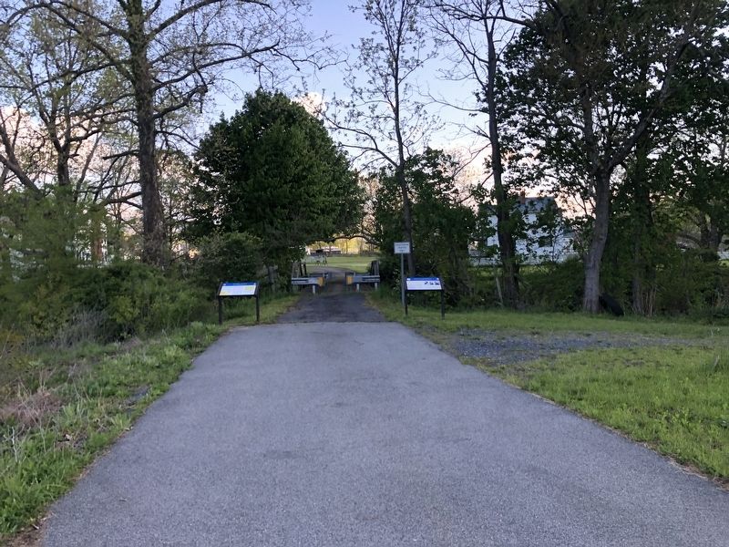
Other nearby markers. At least 8 other markers are within walking distance of this location. Highway To War (here, next to this marker); Battle of McDowell (here, next to this marker); Felix Hull House (a few steps from this marker); The Mansion House (about 700 feet away, measured in a direct line); The Guns of Cemetery Hill (approx. 0.2 miles away); McDowell VA - May 8, 1862 (approx. ¼ mile away); The Church and Cemetery
(approx. ¼ mile away); McDowell Presbyterian Church (approx. ¼ mile away). Touch for a list and map of all markers in McDowell.
Credits. This page was last revised on November 8, 2023. It was originally submitted on May 9, 2021, by Devry Becker Jones of Washington, District of Columbia. This page has been viewed 194 times since then and 16 times this year. Photos: 1, 2. submitted on May 9, 2021, by Devry Becker Jones of Washington, District of Columbia. 3. submitted on August 8, 2022, by Robert Heyward of Prattville, Alabama.


