Warm Springs in Bath County, Virginia — The American South (Mid-Atlantic)
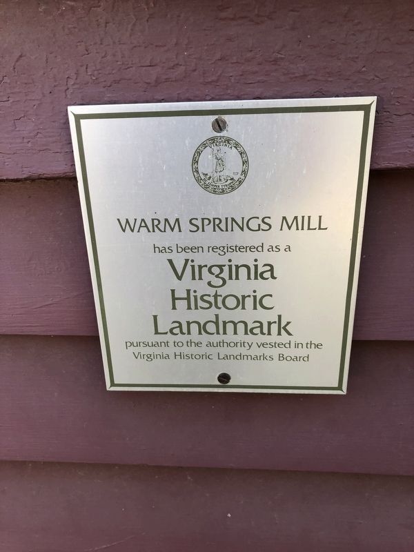
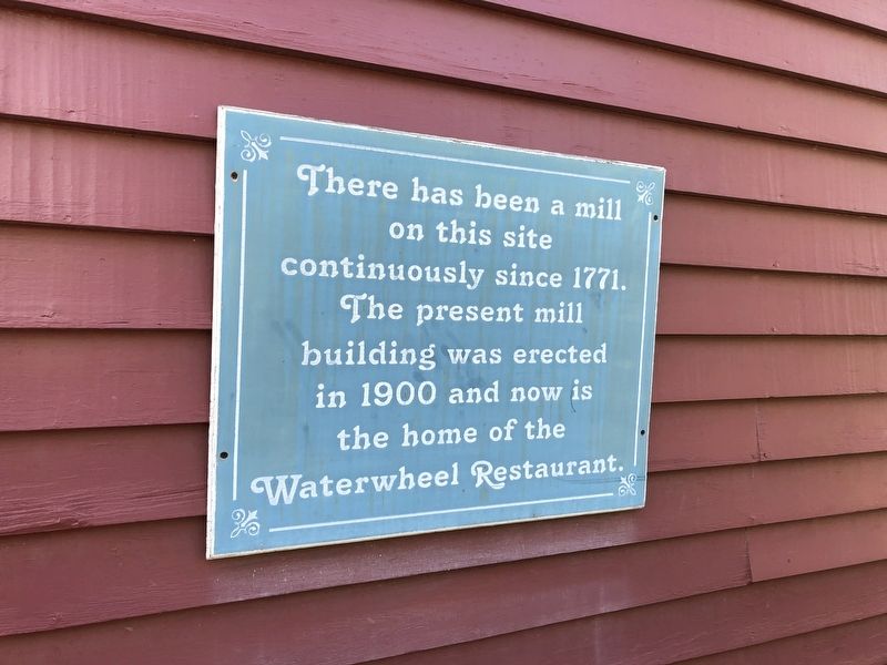
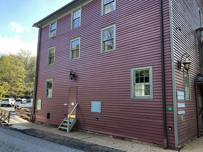
Waterwheel Restaurant Building
Topics. This historical marker is listed in these topic lists: Agriculture • Colonial Era • Industry & Commerce • Waterways & Vessels. A significant historical year for this entry is 1771.
Location. 38° 2.884′ N, 79° 47.402′ W. Marker is in Warm Springs, Virginia, in Bath County. Marker is on Old Mill Road (Virginia Route 645) just south of Old Germantown Road (Virginia Route 692), on the left when traveling south. Touch for map. Marker is at or near this postal address: 124 Old Mill Rd, Warm Springs VA 24484, United States of America. Touch for directions.
Other nearby markers. At least 8 other markers are within walking distance of this marker. Overshoot Wheel (here, next to this marker); The Dinwiddie Mantle (within shouting distance of this marker); Confederate Memorial (about 800 feet away, measured in a direct line); The County Seat of Bath (approx. 0.2 miles away); In Memory of Our Fallen Comrades (approx. 0.2 miles away); Veterans Memorial (approx. 0.2 miles away); Bath County Historical Society Building (approx. 0.2 miles away); Mary Johnston (approx. 0.2 miles away). Touch for a list and map of all markers in Warm Springs.

Photographed By Devry Becker Jones (CC0), May 8, 2021
3. Virginia Historic Landmark plaque for the mill
Credits. This page was last revised on May 9, 2021. It was originally submitted on May 9, 2021, by Devry Becker Jones of Washington, District of Columbia. This page has been viewed 154 times since then and 16 times this year. Photos: 1, 2, 3. submitted on May 9, 2021, by Devry Becker Jones of Washington, District of Columbia.

