Liberia and the Weirs
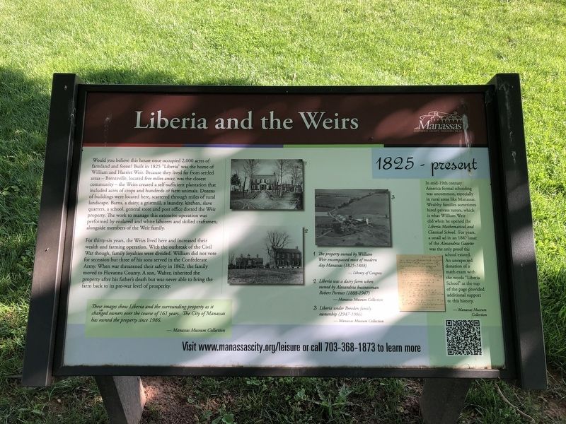
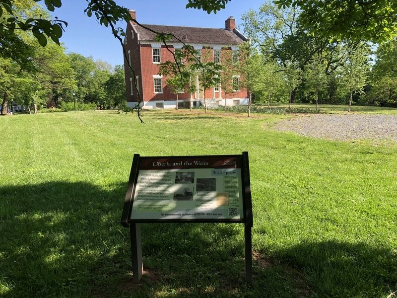
Would you believe this house once occupied 2,000 acres of farmland and forest? Built in 1825 "Liberia" was the home of William and Harriet Weir. Because they lived far from settled areas — Brentsville, located five miles away, was the closest community — the Weirs created a self-sufficient plantation that included acres of crops and hundreds of farm animals. Dozens of buildings were located here, scattered through miles of rural landscape. Barns, a dairy, a gristmill, a laundry, kitchen, slave quarters, a school, general store and post office dotted the Weir property. The work to manage this extensive operation was performed by enslaved and white laborers and skilled craftsmen alongside members of the Weir family.
For thirty-six years, the Weirs lived here and increased their wealth and farming operation. With the outbreak of the Civil War though, family loyalties were divided. William did not vote for secession but three of his sons served in the Confederate Army. When war threatened their safety in 1862, the family moved to Fluvanna County. A son, Walter, inherited the property after his father's death but was never able to bring the farm back to its pre-war level of prosperity.
[Captions:]
These images show Liberia and the surrounding property as it changed owners over the course
of 161 years. The City of Manassas has owned the property since 1986.
1. The property owned by William Weir encompassed most of modern day Manassas (1825-1888)
2. Liberia was a dairy farm when owned by Alexandria businessman Robert Portner (1888 - 1947)
3. Liberia under Breeden family ownership (1947-1986)
In the mid-19th century America formal schooling was uncommon, especially in rural areas like Manassas. Wealthy families sometimes hired private tutors which is what William Weir did when he opened the Liberia Mathematical and Classical School. For years, a small ad in the 1847 issue of the Alexandria Gazette was the only proof the school existed. An unexpected donation of a math exam with the words "Liberia School" at the top of the page provided additional support to this history.
Erected by City of Manassas, Virginia.
Topics. This historical marker is listed in these topic lists: Agriculture • Education • Settlements & Settlers • War, US Civil. A significant historical year for this entry is 1825.
Location. 38° 45.995′ N, 77° 27.635′ W. Marker is in Manassas, Virginia. Marker can be reached from Portner Avenue just south of Princeton Park Drive, on the right when traveling north. Touch for map.
Other nearby markers. At least 8 other markers are within walking distance of this marker. Liberia (here, next to this marker); Turberville Memorial Garden (within shouting distance of this marker); a different marker also named Liberia (within shouting distance of this marker); Enslaved of Liberia (within shouting distance of this marker); Weir Family Cemetery (about 300 feet away, measured in a direct line); Manassas 1825 (about 700 feet away); Conner House (approx. 0.8 miles away); Battle of Bull Run Bridge (approx. 0.8 miles away). Touch for a list and map of all markers in Manassas.
Credits. This page was last revised on May 15, 2021. It was originally submitted on May 15, 2021, by Devry Becker Jones of Washington, District of Columbia. This page has been viewed 236 times since then and 23 times this year. Photos: 1, 2. submitted on May 15, 2021, by Devry Becker Jones of Washington, District of Columbia.

