Shasta in Shasta County, California — The American West (Pacific Coastal)
Survivors of the Gold Rush
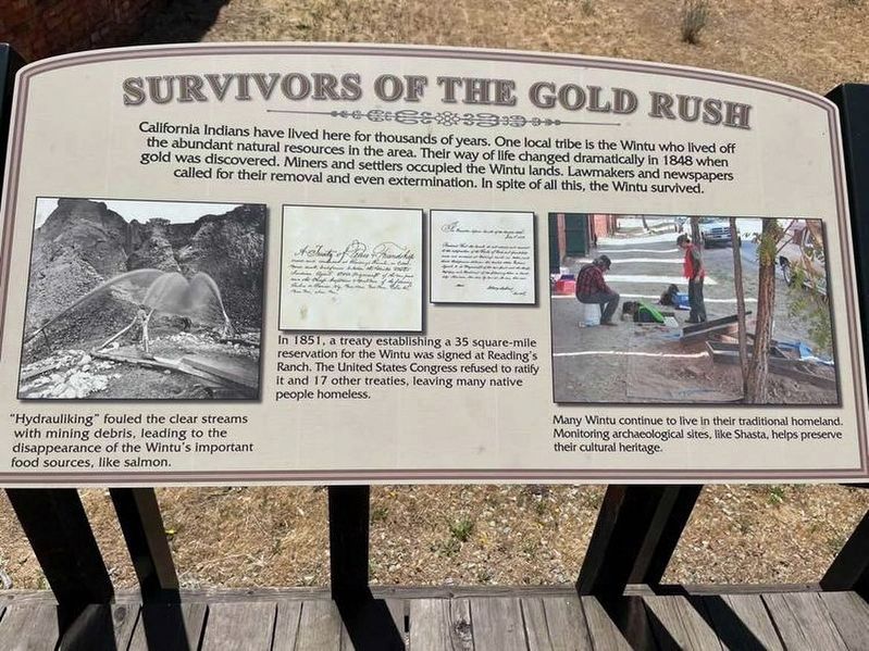
California Indians have lived here for thousands of years. One local tribe is the Wintu who lived off the abundant natural resources in the area. Their way of life changed dramatically in 1848 when gold was discovered. Miners and settlers occupied the Wintu lands. Lawmakers and newspapers called for their removal and even extermination. In spite of all this, the Wintu survived.
Captions:
"Hydrauliking" fouled the clear streams with mining debris, leading to the disappearance of the Wintu's important food sources, like salmon.
In 1851, a treaty establishing a 35 square-mile reservation for the Wintu was signed at Reading's Ranch. The United States Congress refused to ratify it and 17 other treaties, leaving many native people homeless.
Many Wintu continue to live in their traditional homeland. Monitoring archaeological sites, like Shasta, helps preserve their heritage.
Topics. This historical marker is listed in these topic lists: Civil Rights • Environment • Native Americans • Settlements & Settlers. A significant historical year for this entry is 1848.
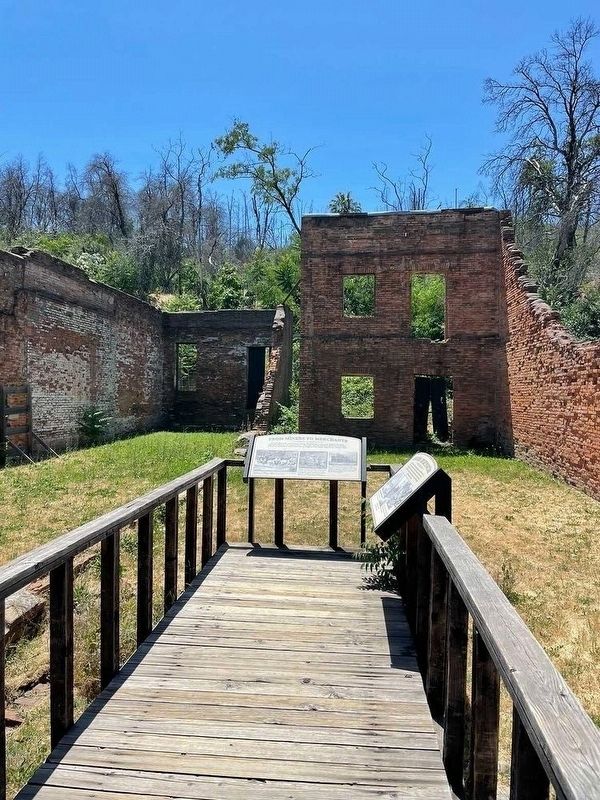
Location. 40° 35.915′ N, 122° 29.503′ W. Marker is in Shasta, California, in Shasta County. Marker is at the intersection of Eureka Way (California Route 299) and Mackley Alley, on the left when traveling north on Eureka Way. Touch for map. Marker is at or near this postal address: 15344 Eureka Way, Shasta CA 96087, United States of America. Touch for directions.
Other nearby markers. At least 8 other markers are within walking distance of this marker. Noble’s Trail (here, next to this marker); “Stage Drivers’ Plaque” (within shouting distance of this marker); Western Star Lodge No. 2 (within shouting distance of this marker); a different marker also named Western Star Lodge No. 2 (within shouting distance of this marker); Shasta (within shouting distance of this marker); Southside Ruins (within shouting distance of this marker); Shasta County Court House (within shouting distance of this marker); Gallows (about 300 feet away, measured in a direct line). Touch for a list and map of all markers in Shasta.
Additional keywords. Forced relocation
Credits. This page was last revised on November 14, 2022. It was originally submitted on June 3, 2021. This page has been viewed 242 times since then and 57 times this year. Photos: 1, 2. submitted on June 3, 2021. • Devry Becker Jones was the editor who published this page.

