Cochranton in Crawford County, Pennsylvania — The American Northeast (Mid-Atlantic)
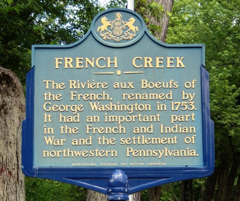
French Creek
Erected by Pennsylvania Historical and Museum Commission.
Topics and series. This historical marker is listed in these topic lists: Colonial Era • Settlements & Settlers • War, French and Indian • Waterways & Vessels. In addition, it is included in the Former U.S. Presidents: #01 George Washington, and the Pennsylvania Historical and Museum Commission series lists. A significant historical year for this entry is 1753.
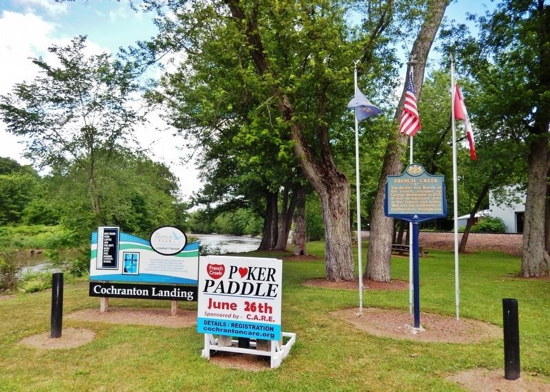
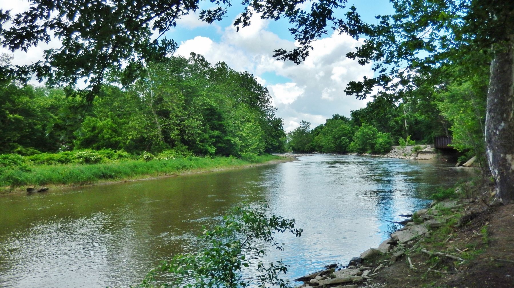
Location. 41° 31.129′ N, 80° 3.22′ W. Marker is in Cochranton, Pennsylvania, in Crawford County. Marker is on Adams Street (Pennsylvania Route 173) just east of Water Street, on the right when traveling east. Marker is located at the Cochranton Boat Landing, overlooking French Creek. Touch for map. Marker is in this post office area: Cochranton PA 16314, United States of America. Touch for directions.
Other nearby markers. At least 8 other markers are within 8 miles of this marker, measured as the crow flies. McFate Archaeological Site (here, next to this marker); a different marker also named French Creek (a few steps from this marker); George Washington Actually Slept Near Here! (a few steps from this marker); Cochranton Boat Launch (a few steps from this marker); Carlton Bridge (approx. 3.7 miles away); a different marker also named French Creek (approx. 3.9 miles away); French Creek Feeder (approx. 5.6 miles away); a different marker also named French Creek Feeder (approx. 7.3 miles away). Touch for a list and map of all markers in Cochranton.
Also see . . . French Creek (Wikipedia). In 1753, George Washington, a British subject at the time, was sent to deliver a message to Fort Le Boeuf asking the French to leave the region. Washington called the stream French Creek rather than Beef Creek (another common rendering of Rivière aux Boeufs), and his version prevailed. (Submitted on June 19, 2021, by Cosmos Mariner of Cape Canaveral, Florida.)
Credits. This page was last revised on June 19, 2021. It was originally submitted on June 19, 2021, by Cosmos Mariner of Cape Canaveral, Florida. This page has been viewed 248 times since then and 27 times this year. Photos: 1, 2, 3. submitted on June 19, 2021, by Cosmos Mariner of Cape Canaveral, Florida.


