Concord in Cabarrus County, North Carolina — The American South (South Atlantic)
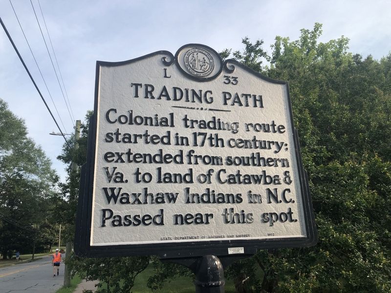
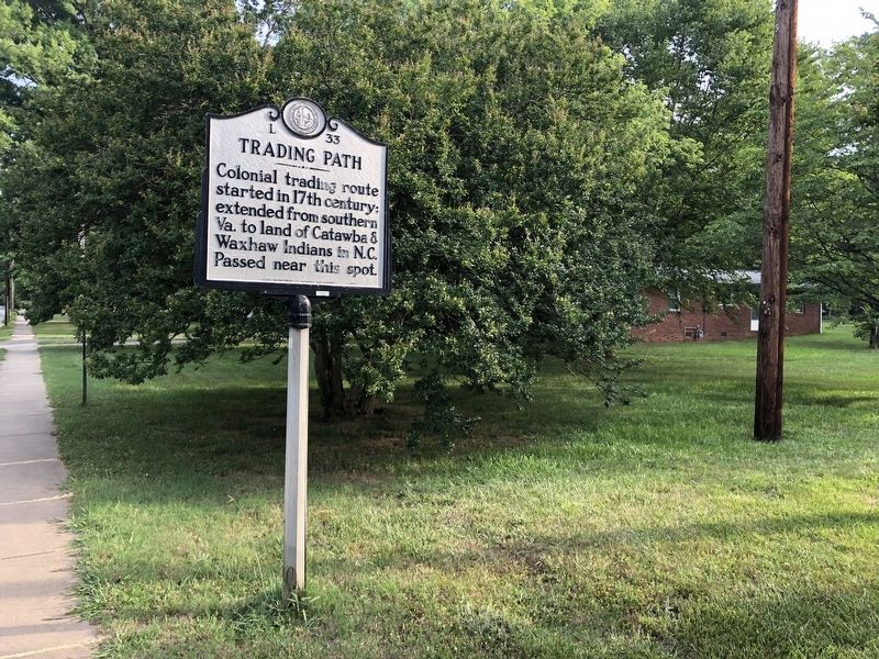
Trading Path
Erected 1972 by State Department of Archives and History. (Marker Number L-33.)
Topics and series. This historical marker is listed in these topic lists: Colonial Era • Industry & Commerce • Native Americans • Roads & Vehicles. In addition, it is included in the North Carolina Division of Archives and History series list.
Location. 35° 23.774′ N, 80° 34.056′ W. Marker is in Concord, North Carolina, in Cabarrus County. Marker is at the intersection of Union Street South and McAllister Avenue Southeast, on the right when traveling north on Union Street South. Touch for map. Marker is at or near this postal address: 547 Union St S, Concord NC 28025, United States of America. Touch for directions.
Other nearby markers. At least 8 other markers are within 2 miles of this marker, measured as the crow flies. James P. Cook (approx. 1.1 miles away); Morris House Hotel (approx. 1.1 miles away); Harness and Carriage House (approx. 1.1 miles away); In Memoriam (approx. 1.1 miles away); Cabarrus County Courthouse (approx. 1.1 miles away); Cabarrus Black Boys Fountain (approx. 1.1 miles away); Town Hall (approx. 1.2 miles away); P.M. Morris Building (approx. 1.2 miles away). Touch for a list and map of all markers in Concord.
Credits. This page was last revised on June 23, 2021. It was originally submitted on June 23, 2021, by Devry Becker Jones of Washington, District of Columbia. This page has been viewed 143 times since then and 18 times this year. Photos: 1, 2. submitted on June 23, 2021, by Devry Becker Jones of Washington, District of Columbia.

