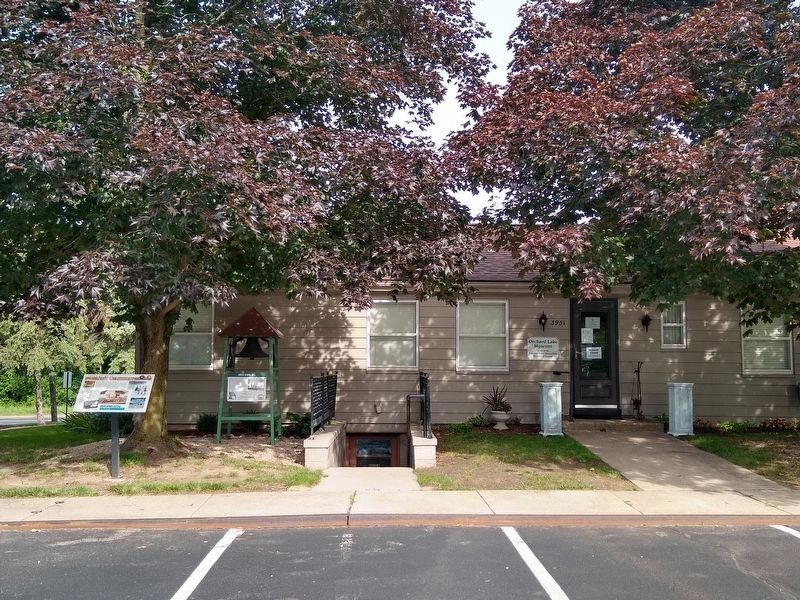
Orchard Lake in Oakland County, Michigan — The American Midwest (Great Lakes)
Drawn by Water
The Greater West Bloomfield Story
Inscription.
Beautiful lakes and rolling fertile land
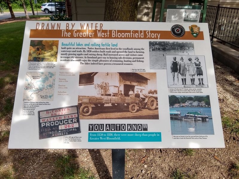
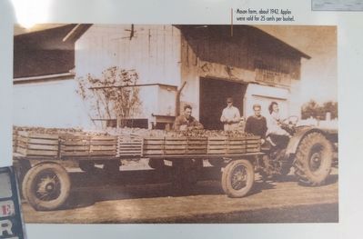
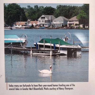
hold quite an attraction. Native Americans first lived in the woodlands among the waterways and trails. By 1820 settlers built roads and opened the land to farming, mostly growing apples and raising sheep. Rail increased access and visitors came to escape city stresses. As farmland gave way to housing sub-divisions, permanent residents also could enjoy the simple pleasures of swimming, boating and fishing. The lakes indeed have proven a treasured resource.
Lakes Lifestyles
Native American
Prehistory to early 1800s
Farming
1820s to 1950s
Tourism
1870s to 1930s
Suburban
1920s to present
You Auto Know
From 1850 to 1880, there were more sheep than people in Greater West Bloomfield.
Erected by MotorCities National Heritage Area, National Park Service.
Topics and series. This historical marker is listed in these topic lists: Agriculture • Native Americans • Parks & Recreational Areas • Settlements & Settlers. In addition, it is included in the MotorCities National Heritage Area series list. A significant historical year for this entry is 1820.
Location. 42° 34.965′ N, 83° 21.562′ W. Marker is in Orchard Lake, Michigan, in Oakland County. Marker is at the intersection of West Long Lake Road and Orchard Lake Road, on the right when traveling east on West Long Lake Road. Marker is at the entrance to the Greater West Bloomfield Historical Society. Touch for map. Marker is at or near this postal address: 3951 Orchard Lake Road, West Bloomfield MI 48323, United States of America. Touch for directions.
Other nearby markers. At least 8 other markers are within walking distance of this marker. Green School Bell (here, next to this marker); Conglomerate Boulder (a few steps from this marker); Apple Island (a few steps from this marker); The Orchard Lake Museum (about 400 feet away, measured in a direct line); Waiting for the Trolleys (about 400 feet away); Chief Pontiac (approx. 0.2 miles away); a different marker also named Apple Island (approx. Ό mile away); Gateway to Nature (approx. 0.3 miles away). Touch for a list and map of all markers in Orchard Lake.
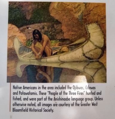
Image courtesy of the Greater West Bloomfield Historical Society.
2. Drawn by Water: The Greater West Bloomfield Story Marker top left image
Native Americans in the area included the Ojibwes, Odawas and Potowatomis. These "People of the Three Fires" hunted and fished, and were part of the Anishinaabe language group.
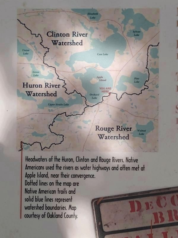
Map courtesy of Oakland County.
3. Drawn by Water: The Greater West Bloomfield Story Marker middle left image
Headwaters of the Huron, Clinton and Rouge Rivers. Native Americans used the rivers as water highways and often met at Apple Island, near their convergence. Dotted lines on the map are Native American trails and solid blue lines represent watershed boundaries.
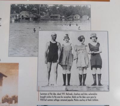
Photos courtesy of Hank Callahan.
6. Drawn by Water: The Greater West Bloomfield Story Marker top right images
Swimmers at the lake, about 1917. Railroads, streeetcars and later, automobiles brought visitors to the area for recreation. Hotels on the lakes were gone by 1920 but summer cottages remained popular.
Credits. This page was last revised on July 3, 2021. It was originally submitted on July 3, 2021, by Joel Seewald of Madison Heights, Michigan. This page has been viewed 142 times since then and 13 times this year. Photos: 1, 2, 3, 4, 5, 6, 7, 8. submitted on July 3, 2021, by Joel Seewald of Madison Heights, Michigan.
