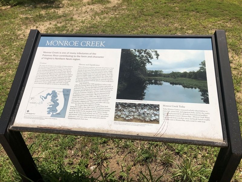
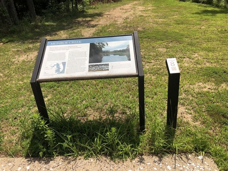
Monroe Creek
Monroe Creek is one of many tributaries of the Potomac River contributing to the form and character of Virginia's Northern Neck region.
Context
The creek owes its name to descendants of Andrew Monroe, the first Monroe to settle here in 1648 (five years before the formation of Westmoreland County). Over time the family assembled landholdings of over 900 acres. Monroe Creek is rich in both hisotry and ecological value. Part of the Chesapeake Bay Watershed, the creek flows in a sinuous manner southeast to Monroe Bay, wehre its waters empty into the Potomac River, and thence downstream into the Chesapeake Bay. Its journey and habitat transitions from fresh water, to brackish water, and finally to saltwater. The creek affords scenic beauty, wildlife value, and easily navigable waters important throughout its history to the present day.
History and Significance
Prior to European settlement, the lands along Monroe Creek were frequented by Native American peoples who relied heavily on area waters for food. Nomadicc Indian villages settled near Monroe Creek each spring in time for oyster harvests, raking oysters at low tide into baskets. Once the seasonal shellfish supply was exhausted, the village would move on seeking a fresh supply of food. This annual cycle of hunting, foraging, and gathering raw materials
John Smith's June 1608 expedition to what is today called the Potomac River was the first European exploration of local waterways. The years that followed saw growing European settlement, prompting both trade and conflict between the Europeans and the Matchotics, a Native American people under the Powhatan chiefdom that encompassed much of Virginia's lower coastal plain. With the formation of Northumherland County (1648), later Westmoreland County (1653), this area began to see increased English settlement as it was convenient to transport routes south toward the Chesapeake's shipping ports. Tobacco and other cash crops were sent down river for transport to Europe.
By the time Spence Monroe occupied these lands during the middle to late 18th century, the property's location along Monroe Creek would have been considered promising, but quite modest by the standards of the region's landed gentry. By this time nearly all land, save for a few woodlots and orchards, had been cleared and was in active agricultural production, with open views to the creek and a dock for transporting goods down river.
Monroe Creek Today
Today Monroe Creek is treasured as both valued habitat to many fish, water fowl, and migratory birds, and for the creek's recreational potential
Topics. This historical marker is listed in these topic lists: Colonial Era • Native Americans • Settlements & Settlers • Waterways & Vessels. A significant historical month for this entry is June 1608.
Location. 38° 14.332′ N, 76° 59.105′ W. Marker is near Colonial Beach, Virginia, in Westmoreland County. Marker can be reached from James Monroe Highway (Virginia Route 205) 0.3 miles north of Old Road, on the right when traveling north. Touch for map. Marker is at or near this postal address: 4460 James Monroe Hwy, Colonial Beach VA 22443, United States of America. Touch for directions.
Other nearby markers. At least 8 other markers are within walking distance of this marker. Journey's End (here, next to this marker); James Monroe's Legacy (here, next to this marker); The Monroe Doctrine (about 300 feet away, measured in a direct line); "Era of Good Feelings" (about 500 feet away); Prelude to the Presidency (about 700 feet away); Statesman at Home and Abroad (approx. 0.2 miles away); Service to the Commonwealth (approx. 0.2 miles away); Revolutionary Idealist (approx. ¼ mile away). Touch for a list and map of all markers in Colonial Beach.
Credits. This page was last revised on July 6, 2021. It was originally submitted on July 6, 2021, by Devry Becker Jones of Washington, District of Columbia. This page has been viewed 222 times since then and 25 times this year. Photos: 1, 2. submitted on July 6, 2021, by Devry Becker Jones of Washington, District of Columbia.

