Maritime Prehistory
| — | Pensacola Maritime Heritage Trail | — |
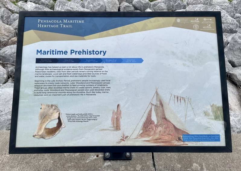
Beginning in the Late Archaic Period, prehistoric people increasingly used local waterways to create trade networks. Later Woodland and Mississippian groups relied on abundant fish and shellfish to feed growing numbers of inhabitants. These groups often modified marine shells to create spoons, jewelry, cups, axes, and other tools. Woodland and Mississippian people also used discarded shells to build long ceremonial mounds along the shoreline. Much like today, marine resources were an important part of prehistoric life in Pensacola.
Erected 2016 by the City of Pensacola and the University of West Florida Historic Trust.
Topics. This historical marker is listed in these topic lists: Anthropology & Archaeology • Indigenous Peoples and Communities
this page online
Location. 30° 24.635′ N, 87° 12.268′ W. Marker is in Pensacola, Florida, in Escambia County. It is on Bay Parkway (Florida Route 196), on the right when traveling east. Touch for map. Marker is in this post office area: Pensacola FL 32502, United States of America. Touch for directions.

Regionally, this marker is on the Florida Panhandle. It is also in the American South, specifically in the Deep South, and on the Gulf Coast. Globally, it is in the North Atlantic Region, North America, a Gulf of Mexico state, the Western Hemisphere, the Western World, and the Anglosphere. Historically, it finds itself in what was once New Spain, the territory of the Mississippian Culture, one of the Confederate States of America, and the Antebellum South.
Other nearby markers. At least 8 other markers are within walking distance of this marker: Spanish Exploration and Discovery (about 500 feet away, measured in a direct line); Purple Heart Memorial (about 800 feet away); Revolutionary War Veterans Minuteman Memorial (approx. 0.2 miles away); "Submarine Lifeguard League"
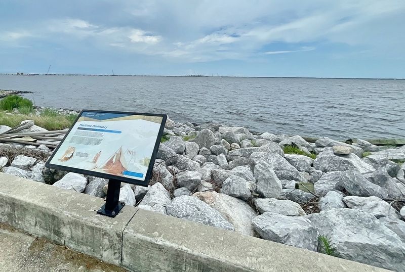
More about this marker. Very busy location with poor sight lines. Park at dead end of E. Government St and carefully use the crosswalks to cross the divided 4-lane city parkway.

Credits. This page was last revised on July 12, 2021. It was originally submitted on July 12, 2021, by Mark Hilton of Montgomery, Alabama. This page has been viewed 303 times since then and 34 times this year. Photos: 1, 2, 3. submitted on July 12, 2021, by Mark Hilton of Montgomery, Alabama.
