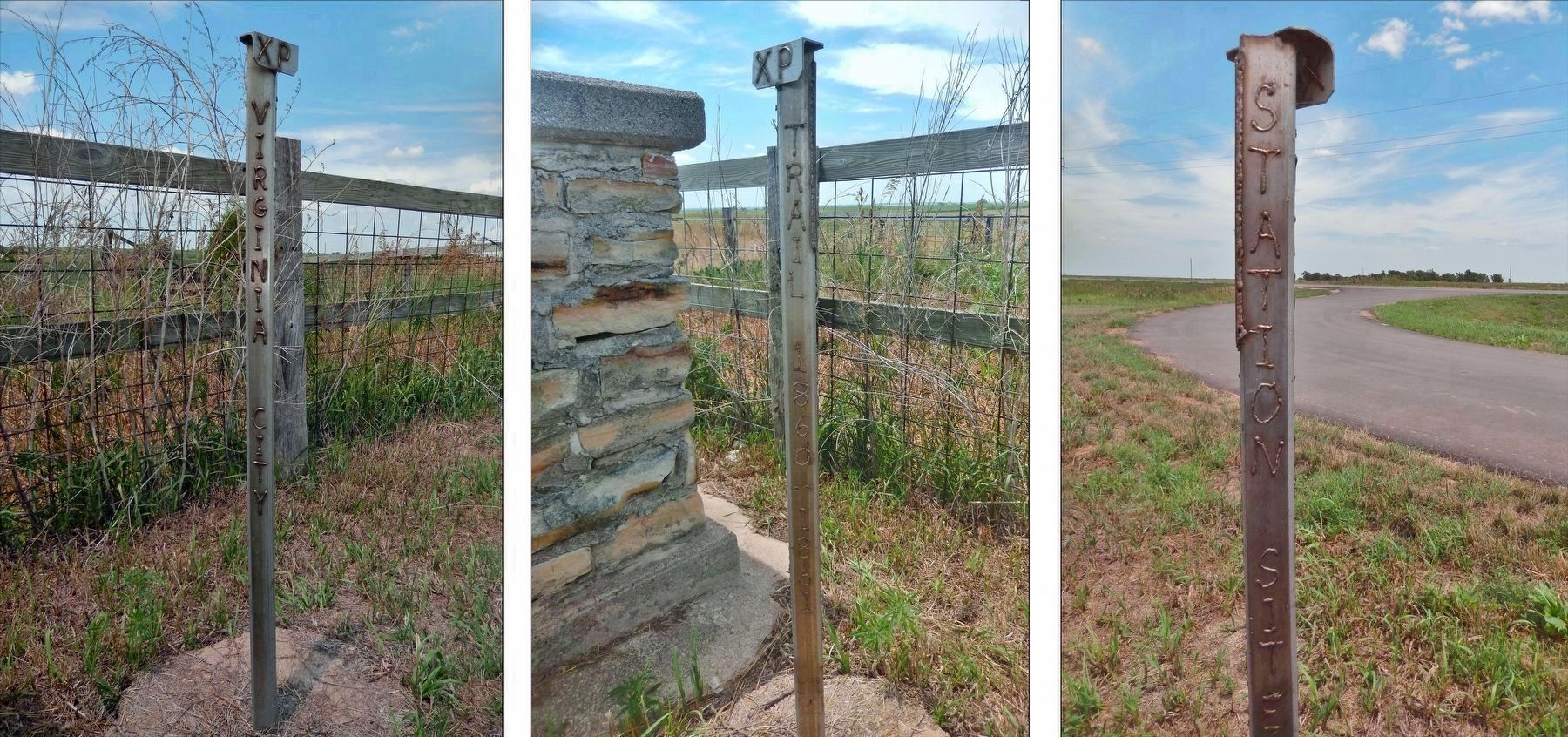
Near Fairbury in Jefferson County, Nebraska — The American Midwest (Upper Plains)
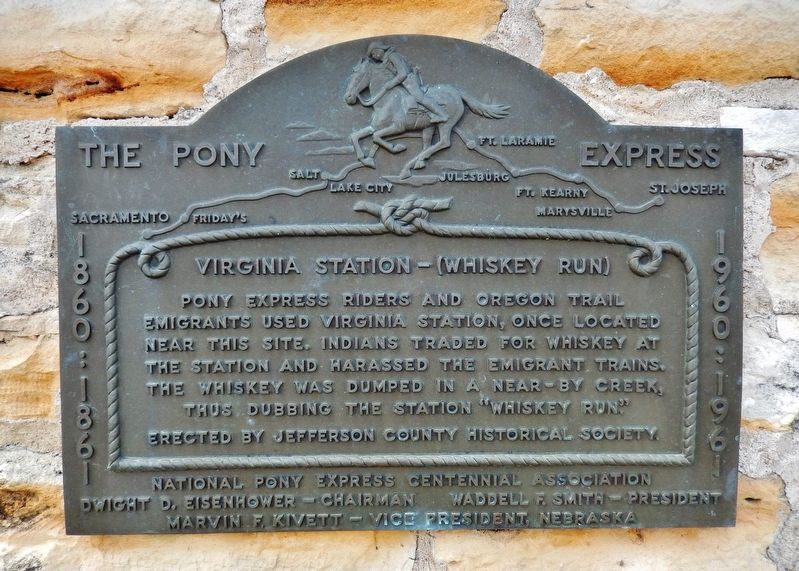
Virginia Station — (Whiskey Run)
The Pony Express
— 1860:1861 • 1960:1961 —
Pony Express riders and Oregon Trail emigrants used Virginia Station, once located near this site. Indians traded for whiskey at the station and harassed the emigrant trains. The whiskey was dumped in a near-by creek, thus dubbing the station “Whiskey Run.”
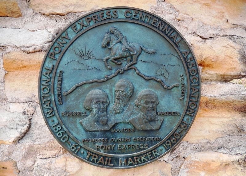
National Pony Express Centennial Association
Dwight D. Eisenhower – Chairman
Waddell F. Smith – President
Marvin F. Kivett – Vice President, Nebraska
Erected by Jefferson County Historical Society; and National Pony Express Centennial Association.
Topics and series. This historical marker is listed in these topic lists: Communications • Native Americans • Roads & Vehicles • Settlements & Settlers. In addition, it is included in the Oregon Trail, and the Pony Express National Historic Trail series lists. A significant historical year for this entry is 1860.
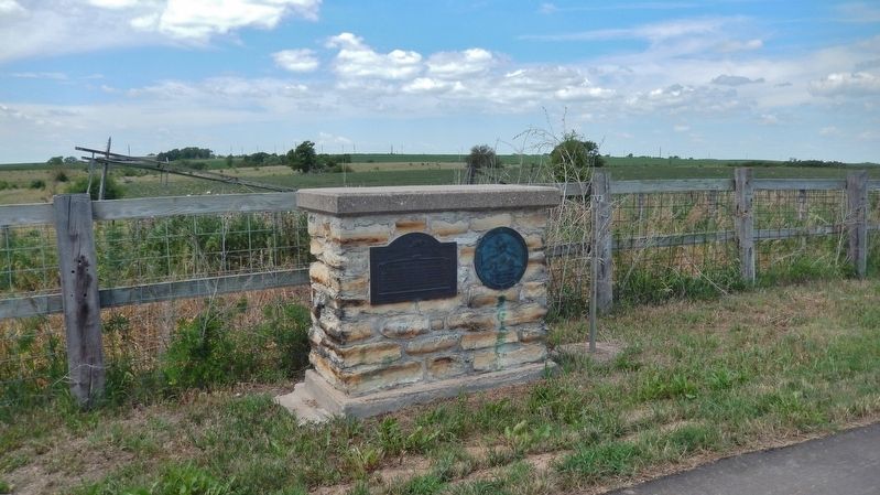
Location. 40° 12.191′ N, 97° 10.828′ W. Marker is near Fairbury, Nebraska, in Jefferson County. Marker is on 568th Avenue (Nebraska Route 15) 4 miles north of U.S. 136, on the left when traveling north. Marker is located in a pull-out on the west side of the highway. Touch for map. Marker is in this post office area: Fairbury NE 68352, United States of America. Touch for directions.
Other nearby markers. At least 8 other markers are within 18 miles of this marker, measured as the crow flies. The Smith Limekiln and Limestone House (approx. 2½ miles away); Jefferson County Pony Express Stations (approx. 4.7 miles away); Representing Rock Creek Station Well (approx. 4.7 miles away); Jefferson County Courthouse (approx. 4.7 miles away); Kit Carson • Col. John Fremont (approx. 8.9 miles away); Plymouth (approx. 12.3 miles away); Veterans Memorial (approx. 12.3 miles away); The Initial Point of the Public Land Surveys of the Sixth Principal Meridian (approx. 17.1 miles away in Kansas). Touch for a list and map of all markers in Fairbury.
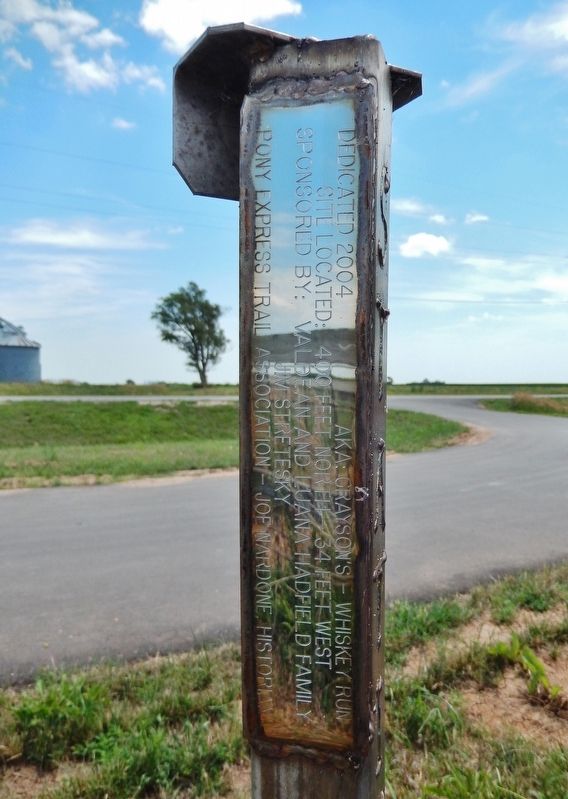
Also see . . . Stations Between St. Joseph & Fort Kearney: Virginia City Station. Other names for the station include Grayson's and Whiskey Run. Bishop and Henderson identify the station as Virginia City on their "Map of California & Oregon-Mormon Emigrant Roads Featuring the Pony Express 1860-1861," as does trail historian Gregory M. Franzwa. Lone Tree possibly served as an alternate station site, one mile south of Virginia City. (Submitted on July 15, 2021, by Cosmos Mariner of Cape Canaveral, Florida.)
Credits. This page was last revised on November 1, 2023. It was originally submitted on July 15, 2021, by Cosmos Mariner of Cape Canaveral, Florida. This page has been viewed 330 times since then and 32 times this year. Photos: 1, 2, 3, 4, 5. submitted on July 15, 2021, by Cosmos Mariner of Cape Canaveral, Florida.
