Martha's Vineyard near Edgartown in Dukes County, Massachusetts — The American Northeast (New England)
Rev. Thomas Mayhew, Jr.
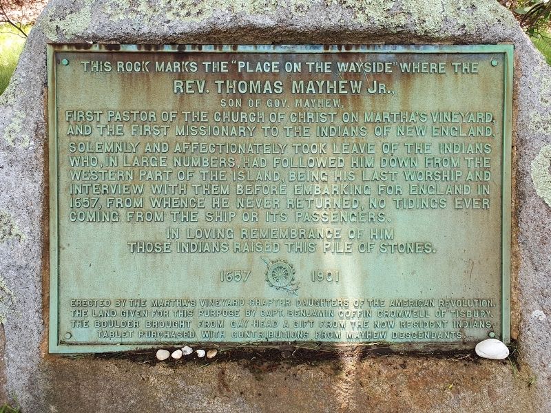
This rock marks the “place on the wayside” where the Rev. Thomas Mayhew Jr., son of Gov. Mayhew,
First pastor of the Church of Christ on Martha’s Vineyard, and the first missionary to the Indians of New England, solemnly and affectionately took leave of the Indians who, in large numbers, had followed him down from the western part of the island, being his last worship and interview with them before embarking for England in 1657, from whence he never returned, no tiding ever coming from the ship or its passengers.
In loving remembrance of him those Indians raised this pile of stones.
1657 1901
Erected by the Martha’s Vineyard Chapter Daughters of the American Revolution. The land given for this purpose by Capt. Benjamin Coffin Cromwell of Tisbury. The boulder brought from Gay Head a gift from the now resident Indians. Tablet purchased with contributions from Mayhew descendants.
Erected 1901 by Martha’s Vineyard Chapter, Daughters of the American Revolution.
Topics and series. This historical marker is listed in these topic lists: Churches & Religion • Colonial Era • Native Americans • Waterways & Vessels. In addition, it is included in the Daughters of the American Revolution series list. A significant historical year for this entry is 1657.
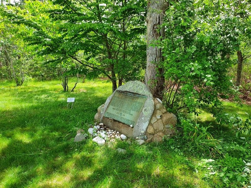
Location. 41° 23.119′ N, 70° 36.366′ W. Marker is near Edgartown, Massachusetts, in Dukes County. It is on Martha's Vineyard. Marker is at the intersection of Edgartown-West Tisbury Road and Coffins Field Road, on the right when traveling east on Edgartown-West Tisbury Road. Touch for map. Marker is in this post office area: Edgartown MA 02539, United States of America. Touch for directions.
Other nearby markers. At least 8 other markers are within 5 miles of this marker, measured as the crow flies. Heath Hen (approx. 2.4 miles away); Alley's General Store (approx. 3.6 miles away); Dukes County Academy School Bell (approx. 3.6 miles away); The Marine Hospital Cemetery (approx. 3.8 miles away); Edgartown Civil War Memorial (approx. 4˝ miles away); Edgartown World War I Memorial (approx. 4.7 miles away); Frederick Douglass (approx. 4.7 miles away); Pioneer Educators (approx. 4.7 miles away). Touch for a list and map of all markers in Edgartown.
Credits. This page was last revised on July 27, 2021. It was originally submitted on July 27, 2021, by J. Makali Bruton of Accra, Ghana. This page has been viewed 406 times since then and 58 times this year. Photos: 1, 2. submitted on July 27, 2021, by J. Makali Bruton of Accra, Ghana.

