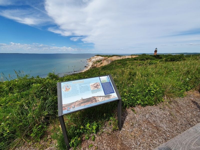
Martha's Vineyard in Chilmark in Dukes County, Massachusetts — The American Northeast (New England)
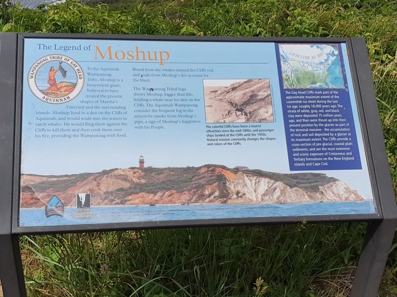
The Legend of Moshup
The Legend of Moshup
To the Aquinnah Wampanoag Tribe, Moshup is a benevolent giant, believed to have created the present shapes of Martha’s Vineyard and the surrounding Islands. Moshup live in a den on the Cliffs of Aquinnah, and would wade into the waters to catch whales. He would fling them against the Cliffs to kill them and then cook them over his fire, providing the Wampanoag with food. Blood from the whales stained the Cliffs red, and coals from Moshup’s fire account for the black.
The Wampanoag Tribal logo shows Moshup, bigger than life, holding a whale near his den on the Cliffs. The Aquinnah Wampanoag consider the frequent fog in the area to be smoke from Moshup’s pipe, a sign of Moshup’s happiness with his People.
Sidebar
The Gay Head Cliffs mark part of the approximate maximum extent of the Laurentide ice sheet during the last ice age, roughly 18,000 years ago. The strata of white, gray, red, and black clay were deposited 75 million years ago, and then were thrust up into their present position by the glacier as part of the terminal moraine - the accumulation of rock and soil deposited by a glacier at its maximum extent. The Cliffs provide a cross-section of pre-glacial, coastal plain sediments, and are the most extensive and scenic exposure of Cretaceous and Tertiary formations on the New England islands and Cape Cod.
Caption
The colorful Cliffs have been a tourist attraction since the mid-1800s, and passenger ships landed at the Cliffs until the 1950s. Natural erosion constantly changes the shapes and colors of the Cliffs.
Photo courtesy of Martha’s Vineyard Museum.
Erected by The Wampanoag Tribe Department of Natural Resources and the National Park Service.
Topics. This historical marker is listed in these topic lists: Anthropology & Archaeology • Environment • Native Americans.
Location. 41° 20.841′ N, 70° 50.231′ W. Marker is in Chilmark, Massachusetts, in Dukes County. It is on Martha's Vineyard. Marker can be reached from Aquinnah Circle west of State Road, on the left when traveling north. Touch for map. Marker is in this post office area: Chilmark MA 02535, United States of America. Touch for directions.
Other nearby markers. At least 8 other markers are within 15 miles of this marker, measured as the crow flies. Gay Head Light 1856 Remnants (about 700 feet away, measured in a direct line); Gay Head Light (about 800 feet away); Rebecca, Woman of Africa (approx. 5.6 miles away); Dukes County Academy School Bell (approx. 8.7 miles away); Alley's General Store (approx. 8.8 miles away); Heath Hen
(approx. 9.9 miles away); Nobska Lighthouse (approx. 14.9 miles away); Enjoy the View! (approx. 15 miles away). Touch for a list and map of all markers in Chilmark.
Credits. This page was last revised on July 28, 2021. It was originally submitted on July 28, 2021, by J. Makali Bruton of Accra, Ghana. This page has been viewed 758 times since then and 79 times this year. Photos: 1, 2. submitted on July 28, 2021, by J. Makali Bruton of Accra, Ghana.

