Welch in McDowell County, West Virginia — The American South (Appalachia)
Welch History
| — | National Coal Heritage Trail | — |

Photographed by J. J. Prats, July 24, 2021
1. Welch History Marker
Welch is named for Captain Isaiah Welch, a surveyor whose accounts of rich coal seams in the Elkhorn Valley helped encourage development of the Norfolk and Western Railway (N&W, now Norfolk Southern Corporation). In 1888 Captain Welch bought land at the confluence of Elkhorn Creek and Tug Fork, in anticipation of the arrival of the railroad. The rail line reached Welch in 1891. The city became the McDowell County seat in 1892 and was incorporated in 1894. Within a few years, more than 30 mines were in operation nearby, bringing a large influx of both native-born and foreign mine workers to the area.
Welch is probably best known for two very different events: the 1921 murder of Sid Hatfield and the 1960 visit of presidential candidate John F. Kennedy.
On August 1, 1921, former Matewan Police Chief Sid Hatfield and Deputy Ed. Chambers were killed on the steps of the McDowell County courthouse by operatives of the Baldwin-Felts detective agency in retaliation for the killing of several of their men in Matewan on May 19, 1920. Outrage over their murders led to the Battle of Blair Mountain in which federal and
this page online
John F. Kennedy visited Welch twice during the 1960 Democratic Primary campaign, speaking out against the “poverty, want, and Hunger” that he saw in the region. Kennedy’s experiences in Welch and nearby led to the development of the nationwide Food Stamp program and other anti-poverty legislation for Appalachia.
The commercial heart of Welch was concentrated along McDowell and Wyoming streets, near the N&W Railway station. A 1911 fire destroyed many of the town’s wooden buildings, which were replaced by brick and stone buildings constructed by Italian stone masons employed by the N&W. By the early 1920s, Welch contained two dozen coal company offices, a state hospital, and a thriving commercial district. Welch’s economic fortunes have risen and fallen with those of the regional coal industry, however. Mine closings, the increasing mechanization of the industry, and the diversion of rail traffic away from Welch during, the post-World War II era led to a decline in the local and regional economy. Flooding
Photographed by J. J. Prats, July 24, 2021
2. Welch History and Heartland Corridor Project Markers
(newspaper article reproduced on the panel)
SID HATFIELD SLAIN BEFORE COURT HOUSE
Noted Figure in Recent West Virginia Mine Troubles
Is Killed in a Gun Fight.
COMPANION ALSO SHOT DEAD
Chief Witness in Mingo County Trial
Arrested Pending Investigation of Shooting.WELCH, W. Va., Aug. 1.—Sid Hatfield’s career in West Virginia ended today on the Court house steps of this village. It remains for a Coroner’s Jury to pass judgment as to who shall be held for trial on a charge of having fired the shot that ended the life of a picturesque figure in the industrial strife of Mingo County. C. E. Lively, a private detective, is held pending a verdict.—New York Times article: published August 2, 1921
Hatfield, former Chief of Police at Matewan, and central figure in the trial early this year of more than score of men charged with the killing of a private detective fourteen months ago, and his friend, Ed. Chambers, also a defendant in that trial, fell as a result of pistol shot wounds received as thetwo men were entering the little Court House where Hatfield was to face trial on another shooting charge.Photographed by J. J. Prats, July 24, 20213. Welch History and Heartland Corridor Project Markers
Erected by National Coal Highway Authority, the U.S. Department of Transporatation Federal Highway Administration, and Norfolk Southern.
Topics and series. This historical marker is listed in these topic lists: Industry & Commerce • Labor Unions • Law Enforcement • Notable Events. In addition, it is included in the Coal Heritage Trail series list. A significant historical date for this entry is May 19, 1920.
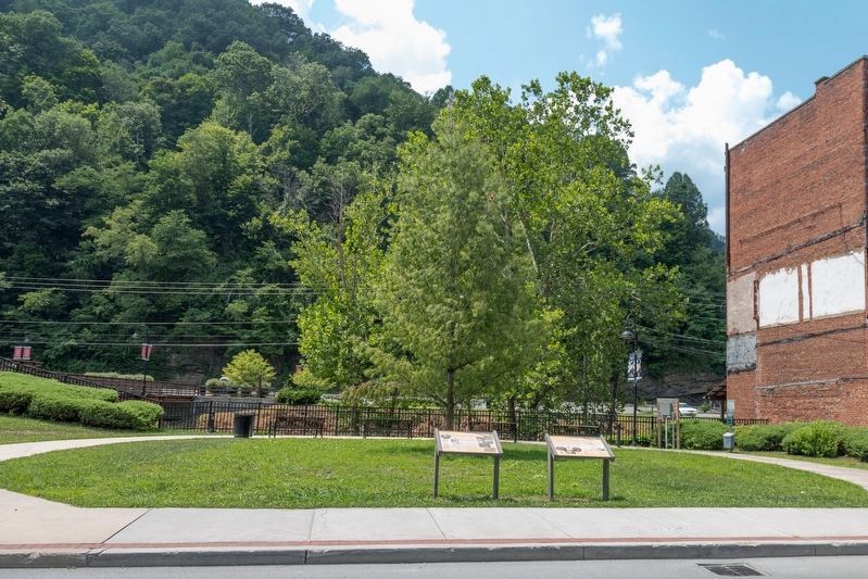
Location. 37° 26.005′ N, 81° 35.141′ W. Marker is in Welch, West Virginia, in McDowell County. It is on McDowell Street (West Virginia Route 16) near Wyoming Street, on the right when traveling south. It is in Riverfront Park. Touch for map. Marker is at or near this postal address: 130 McDowell St, Welch WV 24801, United States of America. Touch for directions.

Regionally, this marker is in the Southern Coalfields. It is also in the American South, specifically in the Upper South, in Appalachia, and specifically in Southern Appalachia. Globally, it is in North America, the Western Hemisphere, the Western World, and the Anglosphere. Historically, it finds itself in what was once the territory of the Mississippian Culture.
Other nearby markers. At least 8 other markers are within walking distance of this marker: Heartland Corridor Project (here, next to this marker); Marthan H. Moore Riverfront Park (within shouting distance of this marker); Martha H. Moore Parkway (within shouting distance of this marker); City of Welch Mural (about 300 feet away, measured in a direct line); McDowell County Courthouse / Sid Hatfield (about 500 feet away); Welch (about 500 feet away); McDowell County Courthouse (about 500 feet away); Hatfield & Chambers (about 500 feet away). Touch for a list and map of all markers in Welch.
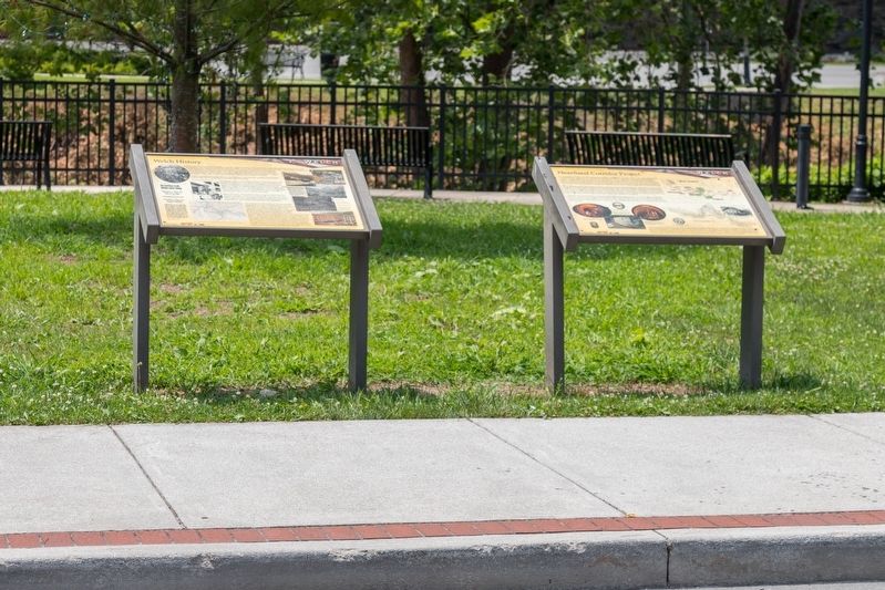
More about this marker. In addition to the newspaper article, three illustrations are on the left side of the panel. They are “a 1946 photograph of bustling downtown Welch,” “Presidential candidate John Fitzgerald Kennedy speaks from Welch police headquarters in 1960,” and “Welch and vicinity ad depicted on the 1924 USGS 15 minute series Welch, West Virginia, quadrangle map.”
Five illustrations are on the right side of the panel. Two are captioned together with “Flood waters sweep through downtown Welch circa 1930s, showing tracks in foreground and Virginia and Maple streets—flooding of the Tug Fork has been a problem for Welch over the past century. In the first decade of the 21st century, over 100 structures (both damaged and abandoned) in the downtown area have been demolished. Welch Riverfront Park adjacent to Tug Fork was constructed at the location of several razed buildings.” Also “Welch in 2020,” “Postcard showing the ruins left after the 1911 fire in Welch,” and “A circa 1924 postcard depicts a portion of the Welch business district. The view is from the grounds of the McDowell County Courthouse.”
Credits. This page was last revised on April 25, 2024. It was originally submitted on August 2, 2021, by J. J. Prats of Powell, Ohio. This page has been viewed 1,351 times since then and 188 times this year. Photos: 1, 2, 3. submitted on August 2, 2021, by J. J. Prats of Powell, Ohio.
