Schuyler in Colfax County, Nebraska — The American Midwest (Upper Plains)
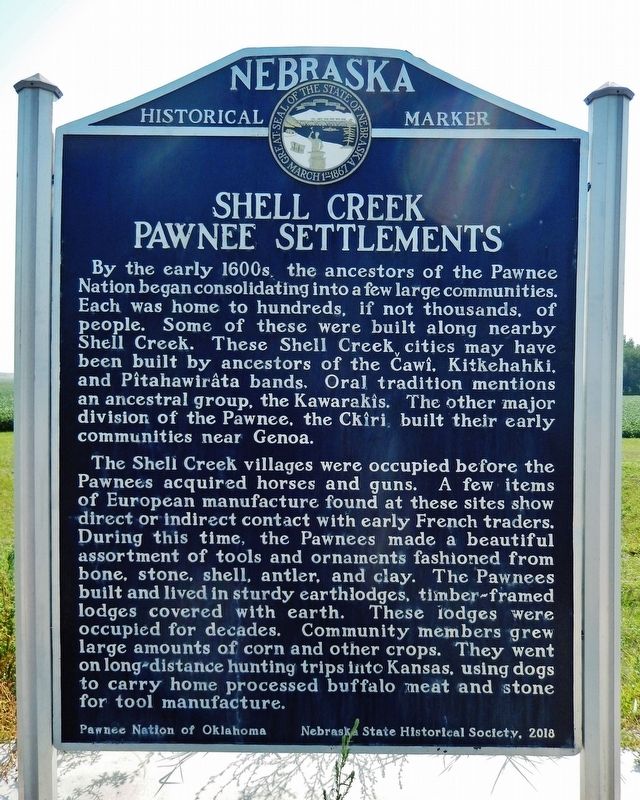
Shell Creek Pawnee Settlements
The Shell Creek villages were occupied before the Pawnees acquired horses and guns. A few items of European manufacture found at these sites show direct or indirect contact with early French traders. During this time, the Pawnees made a beautiful assortment of tools and ornaments fashioned from bone, stone, shell, antler, and clay. The Pawnees built and lived in sturdy earth lodges, timber-framed lodges covered with earth. These lodges were occupied for decades. Community members grew large amounts of corn and other crops. They went on long-distance hunting trips into Kansas, using dogs to carry home processed buffalo meat and stone for tool manufacture.
Erected 2018 by Pawnee Nation of Oklahoma; and Nebraska State Historical Society. (Marker Number 546.)
Topics and series. This historical marker is listed in these topic lists: Anthropology & Archaeology • Colonial Era • Native Americans • Settlements & Settlers. In addition, it is included in the Nebraska State Historical Society series list.
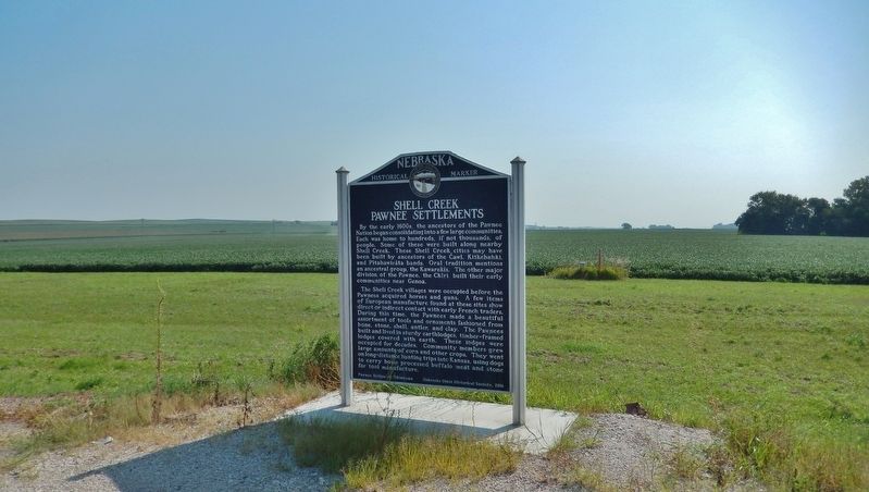
Location. 41° 29.653′ N, 97° 3.576′ W. Marker is in Schuyler, Nebraska, in Colfax County. Marker is on Road 11 (State Highway 15) 1.9 miles north of Lincoln Highway (U.S. 30), on the right when traveling north. Marker is located in a pull-out on the east side of Nebraska Highway 15, just north of the Shell Creek bridge. Touch for map. Marker is in this post office area: Schuyler NE 68661, United States of America. Touch for directions.
Other nearby markers. At least 2 other markers are within 12 miles of this marker, measured as the crow flies. Shinn's Ferry (approx. 11.6 miles away); The Site of Savannah (approx. 11.6 miles away).
Credits. This page was last revised on August 14, 2021. It was originally submitted on August 14, 2021, by Cosmos Mariner of Cape Canaveral, Florida. This page has been viewed 540 times since then and 113 times this year. Photos: 1, 2. submitted on August 14, 2021, by Cosmos Mariner of Cape Canaveral, Florida.

