Near Darlington in Harford County, Maryland — The American Northeast (Mid-Atlantic)
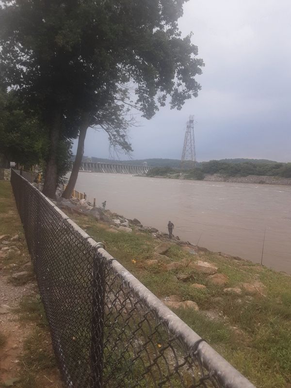
Susquehanna River fishing
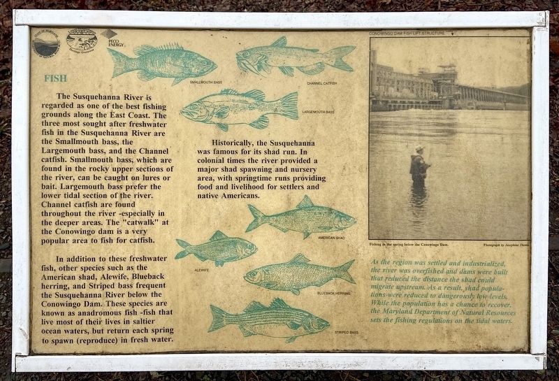
Fish
In addition to these freshwater fish, other species such as the American shad, Alewife, Blueback herring, and Striped bass frequent the Susquebanna River below the Conowingo Dam. These species are known as anadromous fish -fish that live most of their lives in saltier ocean waters, but return each spring to spawn (reproduce) in fresh water.
[captions]
Smallmouth bass [,] Channel catfish
Largemouth bass
Historically, the Susquehanna was famous for its shad run. In colonial times the river provided a major shad spawning and nursery area, with springtime runs providing food and livelihood for settlers and native Americans.
[captions]
American shad
Alewife
Blueback herring
Striped bass
Conowingo Dam lift structure
Fishing in the spring below the Conowingo Dam.
Photograph by Josephine Thoms.
As the region was settled and industrialized, the river was overfished and dams were built that reduced the distance the shad could migrate upstream. As a result, shad populations were reduced to dangerously low levels. While the population has a chance to recover, the Maryland Department of Natural Resources sets the fishing regulations on the tidal waters.
Erected by State of Maryland Department of Natural Resources; Lower Susquehanna Heritage Greenway; PECO Energy.
Topics. This historical marker is listed in these topic lists: Colonial Era • Environment • Parks & Recreational Areas • Waterways & Vessels.
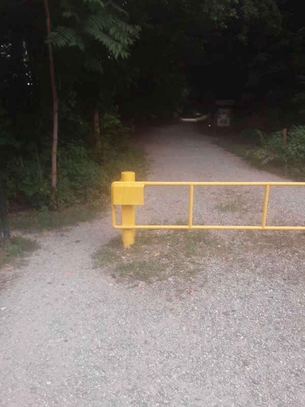
Location. 39° 39.1′ N, 76° 10.17′ W. Marker is near Darlington, Maryland, in Harford County. Marker is on Shures Landing Road, on the right when traveling north. As shown in a photograph, you have to start on the trail to find the marker on the left. Touch for map. Marker is at or near this postal address: 2522 Shures Landing Road, Darlington MD 21034, United States of America. Touch for directions.
Other nearby markers. At least 8 other markers are within 3 miles of this marker, measured as the crow flies. Conowingo (approx. 0.6 miles away); A Susquehannock Indian Fort (approx. 0.9 miles away); The Proprietors of the Susquehanna Canal (approx. one mile away); Keziah's Diary (approx. 1.8 miles away); Stafford Flint Furnace (approx. 2 miles away); Lafayette at Colonel Rigbie’s House (approx. 2 miles away); Berkley Crossroads (approx. 2.2 miles away); The Mouth of Deer Creek (approx. 2.9 miles away). Touch for a list and map of all markers in Darlington.
Credits. This page was last revised on August 26, 2021. It was originally submitted on July 27, 2021, by Carl Gordon Moore Jr. of North East, Maryland. This page has been viewed 257 times since then and 28 times this year. Last updated on August 14, 2021, by Carl Gordon Moore Jr. of North East, Maryland. Photos: 1. submitted on August 22, 2021, by Craig Baker of Sylmar, California. 2, 3. submitted on July 27, 2021, by Carl Gordon Moore Jr. of North East, Maryland. 4, 5. submitted on July 28, 2021, by Carl Gordon Moore Jr. of North East, Maryland. • Bill Pfingsten was the editor who published this page.


