
Pineville in Bell County, Kentucky — The American South (East South Central)
Wilderness Road Cemetery
Photographed by Tom Bosse, September 4, 2021
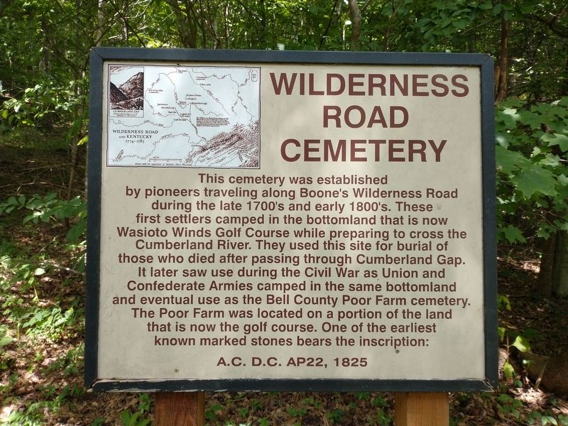
1. Wilderness Road Cemetery Marker
This cemetery was established by pioneers traveling along Boone's Wilderness Road during the late 1700's and early 1800's. These first settlers camped in the bottomland that is now Wasioto Golf Course while preparing to cross the Cumberland River. They used this site for burial of those who died after passing through Cumberland Gap. It later saw use during the Civil War as Union and Confederate Armies camped in the same bottomland and eventual use as the Bell County Poor Farm cemetery. The Poor Farm was located on a portion of the land that is now the golf course. One of the earliest known marked stones bears the inscription:
Topics. This historical marker is listed in these topic lists: Cemeteries & Burial Sites • Roads & Vehicles • Settlements & Settlers • War, US Civil. A significant historical year for this entry is 1825.
Location. 36° 44.623′ N, 83° 41.638′ W. Marker is in Pineville, Kentucky, in Bell County. It is at the intersection of Asher-Clear Creek Road and U.S. 25E, on the right when traveling east on Asher-Clear Creek Road. Touch for map. Marker is at or near this postal
this page online

Regionally, this marker is in Eastern Kentucky and in the Cumberland Plateau. It is also in the American South, specifically in the Upper South, in Appalachia, and specifically in Southern Appalachia. Globally, it is in North America, the Western Hemisphere, the Western World, and the Anglosphere. Historically, it finds itself in what was once the territory of the Mississippian Culture and also the Antebellum South.
Other nearby markers. At least 8 other markers are within 2 miles of this marker, measured as the crow flies: Naming of the Cumberland River (about 400 feet away, measured in a direct line); Henderson Settlement (approx. half a mile away); First Camp Site In Kentucky (approx. half a mile away); Chained Rock (approx. 0.7 miles away); The Wilderness Road (approx. 0.9 miles away); Mountain Gateway (approx. 1.2 miles away); Bell County War Dead Memorial (approx. 1.2 miles away); Joshua Fry Bell (approx. 1.2 miles away). Touch for a list and map of all markers in Pineville.
Photographed by Tom Bosse, September 4, 2021
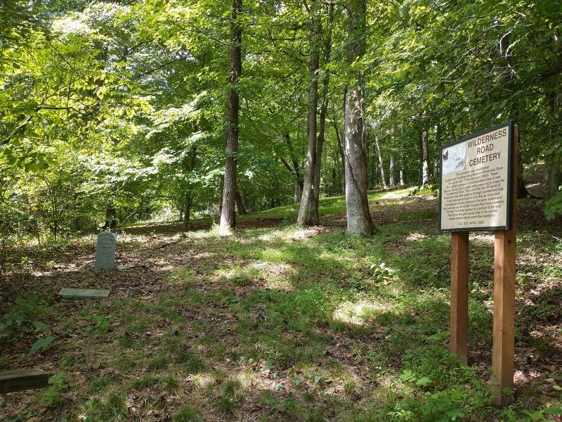
2. Wilderness Road Cemetery Marker
Photographed by Tom Bosse, September 4, 2021
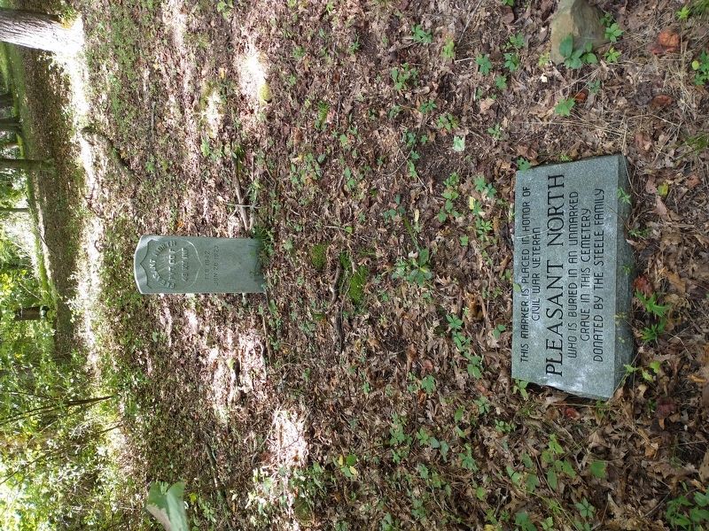
3. Wilderness Road Cemetery
Photographed by Tom Bosse, September 4, 2021
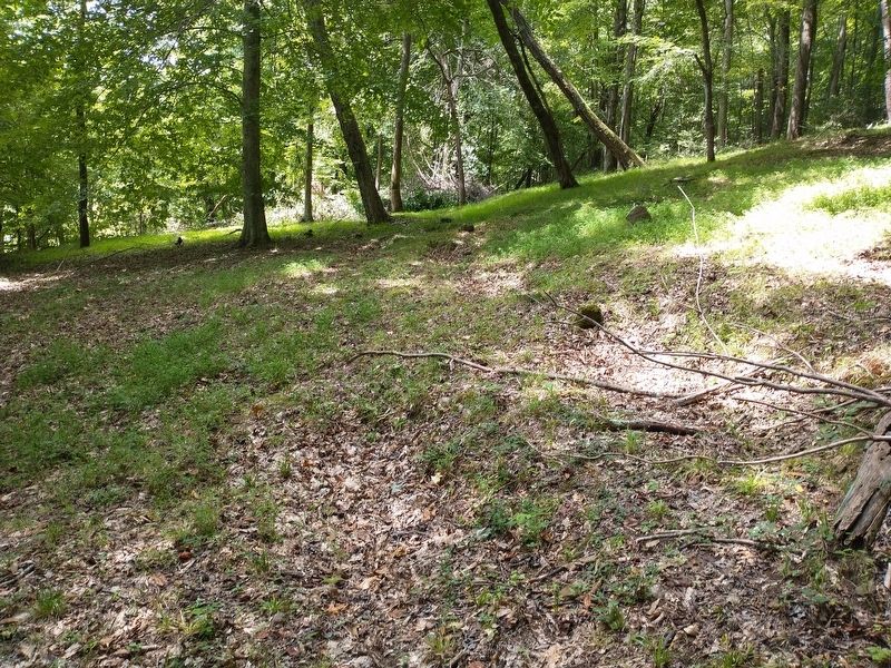
4. Wilderness Road Cemetery
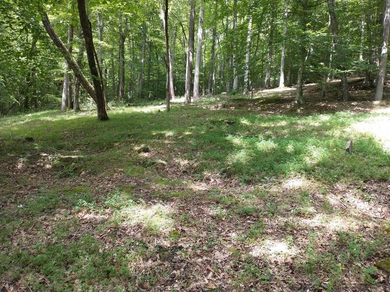
Photographed by Tom Bosse, September 4, 2021
5. Wilderness Road Cemetery
Credits. This page was last revised on September 7, 2021. It was originally submitted on September 6, 2021, by Tom Bosse of Jefferson City, Tennessee. This page has been viewed 1,176 times since then and 116 times this year. Photos: 1, 2, 3, 4, 5. submitted on September 6, 2021, by Tom Bosse of Jefferson City, Tennessee. • Devry Becker Jones was the editor who published this page.
