Santa Fe in Santa Fe County, New Mexico — The American Mountains (Southwest)
1620
1620
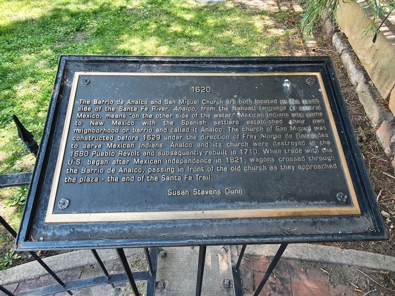
The Barrio de Analco and San Miguel Church are both located on the south side of the Santa Fe River. Analco, from the Nahuatl language of central Mexico, means "on the other side of the water." Mexican indians who came to New Mexico with the Spanish settlers established their own neighborhood or barrio and called it Analco. The church of San Miguel was constructed before 1629 under the direction of Fray Alonso de Benevides to serve Mexican Indians. Analco and its church were destroyed in the 1680 Pueblo Revolt and subsequently rebuilt in 1710. When trade with the U.S. began after Mexican independence in 1821, wagons crossed through the Barrio de Analco, passing in front of the old church as they approached the plaza - the end of the Santa Fe Trail.
Susan Stevens Dunn
Topics. This historical marker is listed in these topic lists: Colonial Era • Hispanic Americans • Native Americans • Settlements & Settlers. A significant historical year for this entry is 1620.
Location. 35° 41.201′ N, 105° 56.168′ W. Marker is in Santa Fe, New Mexico, in Santa Fe County. Marker can be reached from East Palace Avenue east of Cathedral Place, on the right when traveling east. Touch for map. Marker is in this post office area: Santa Fe NM 87501, United States of America. Touch for directions.
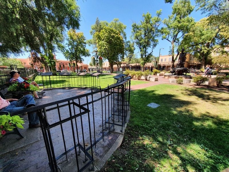
Other nearby markers. At least 8 other markers are within walking distance of this marker. 1610 (here, next to this marker); 1607 (a few steps from this marker); 1598 (a few steps from this marker); 1583 (a few steps from this marker); a different marker also named 1598 (a few steps from this marker); 1540 (a few steps from this marker); Santa Fe Cathedral Park and Monument (within shouting distance of this marker); The Labyrinth (within shouting distance of this marker). Touch for a list and map of all markers in Santa Fe.
Credits. This page was last revised on September 22, 2021. It was originally submitted on September 22, 2021, by J. Makali Bruton of Accra, Ghana. This page has been viewed 103 times since then and 10 times this year. Photos: 1, 2. submitted on September 22, 2021, by J. Makali Bruton of Accra, Ghana.

