Isleta Pueblo in Bernalillo County, New Mexico — The American Mountains (Southwest)
Pueblo of Isleta Tuei
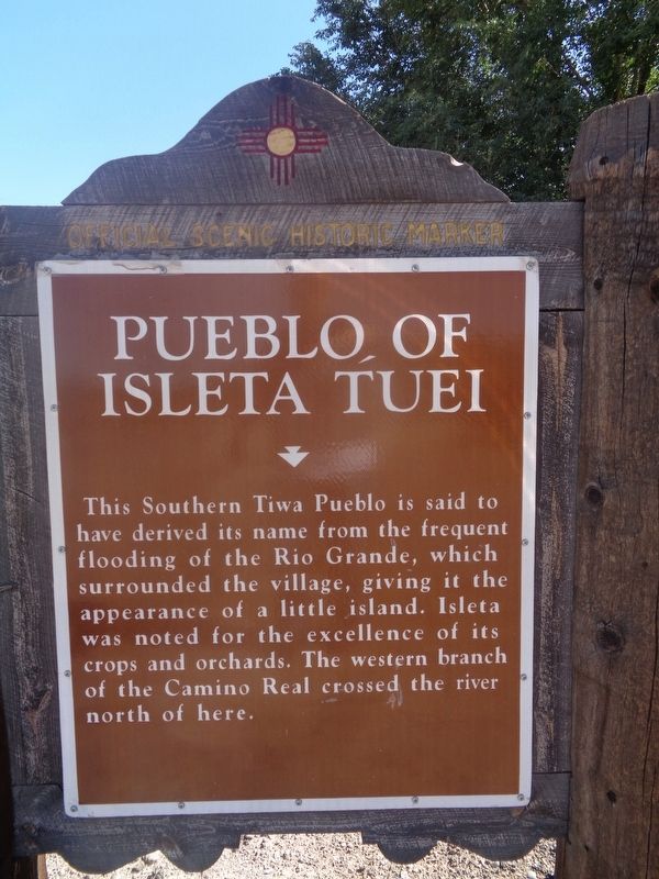
Photographed by Jason Voigt, October 13, 2021
1. Pueblo of Isleta Tuei Marker
Erected by New Mexico Historic Preservation Division.
Topics. This historical marker is listed in these topic lists: Agriculture • Roads & Vehicles • Waterways & Vessels.
Location. 34° 54.606′ N, 106° 41.514′ W. Marker is in Isleta, New Mexico, in Bernalillo County. It is in Isleta Pueblo. It is on New Mexico Route 147 west of Tribal Road 48, on the right when traveling east. Touch for map. Marker is at or near this postal address: 5 Tribal Rd 48, Isleta NM 87022, United States of America. Touch for directions.

Regionally, this marker is in one of the Southern Pueblos, in the New Mexico’s Rio Grande Valley, and in Greater Albuquerque. It is also in the American Southwest. Globally, it is in North America, the Western Hemisphere, the Western
this page online
Other nearby markers. At least 8 other markers are within 6 miles of this marker, measured as the crow flies: Pueblo of Isleta (approx. one mile away); Los Padillas (approx. 3.2 miles away); Vásquez de Coronado's Route (approx. 3.7 miles away); Peralta (approx. 5 miles away); Pajarito (approx. 5.3 miles away); Juliana Gutierrez y Chaves Hubbell / Gutierrez-Hubbell House (approx. 5.4 miles away); El Camino Real (approx. 5½ miles away); La Plazita (approx. 5½ miles away).
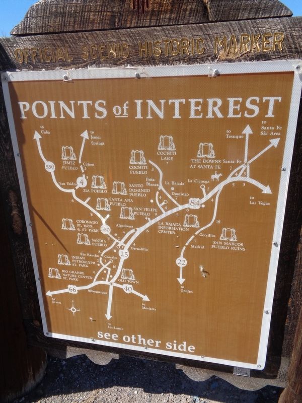
Photographed by Jason Voigt, October 13, 2021
2. Pueblo of Isleta Tuei Marker
Back of the marker
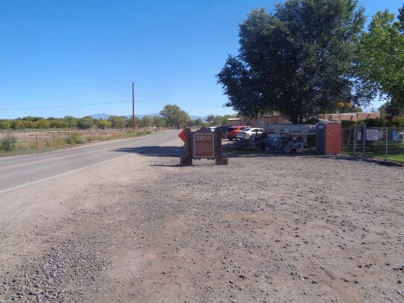
Photographed by Jason Voigt, October 13, 2021
3. Pueblo of Isleta Tuei Marker
Marker is on a roadside pullout
Credits. This page was last revised on October 5, 2026. It was originally submitted on October 14, 2021, by Jason Voigt of Glen Carbon, Illinois. This page has been viewed 550 times since then and 48 times this year. Photos: 1, 2, 3. submitted on October 14, 2021, by Jason Voigt of Glen Carbon, Illinois.
