Near Chattanooga in Hamilton County, Tennessee — The American South (East South Central)
The Whiteside Turnpike
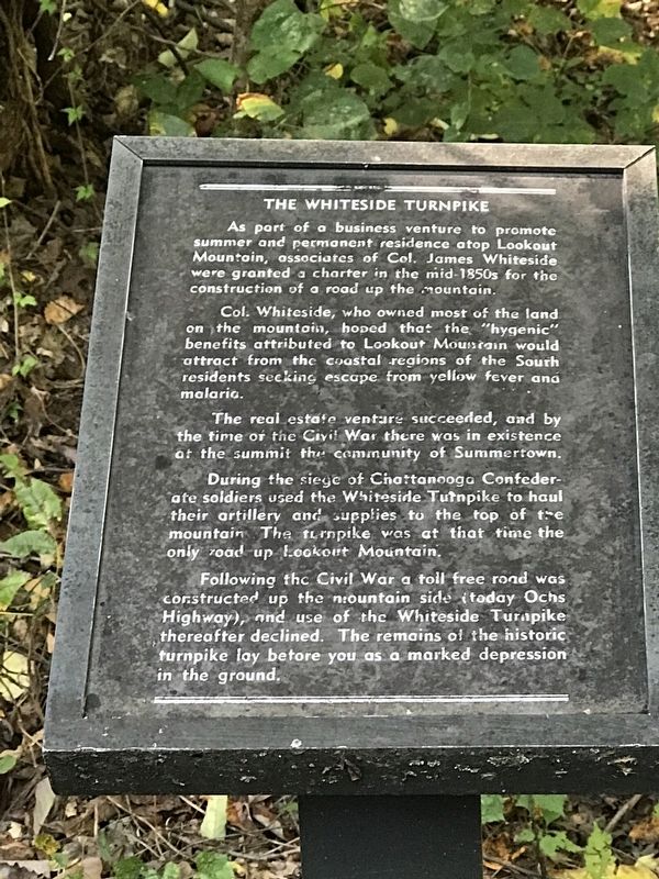
Col. Whiteside, who owned most of the land on the mountain, hoped that the “hygenic” benefits attributed to Lookout Mountain would attract from the coastal regions of the South residents seeking escape from yellow fever and malaria.
The real estate venture succeeded, and by the time of the Civil War there was in existence at the summit the community of Summertown.
During the siege of Chattanooga Confederate soldiers used the Whiteside Turnpike to haul their artillery and supplies to the top of the mountain. The turnpike was at that time the only road up Lookout Mountain.
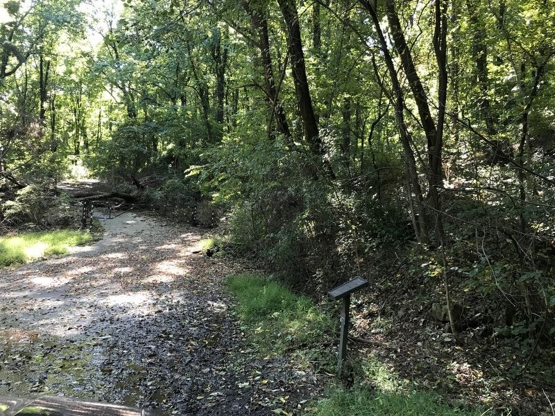
Following thc Civil War a toll free road was constructed up the mountainside (today Ochs Highway), and use of the Whiteside Turnpike thereafter declined. The remains of the historic turnpike lay before you as a marked depression in the ground.
Topics. This historical marker is listed in these topic lists: Industry & Commerce • Roads & Vehicles • War, US Civil.
Location. 35° 0.131′ N, 85° 20.264′ W. Marker is near Chattanooga, Tennessee, in Hamilton County. Marker is on Sanders Road, 0.2 miles south of Scenic Highway (Tennessee Route 148), on the right when traveling south. Touch for map. Marker is in this post office area: Chattanooga TN 37409, United States of America. Touch for directions.
Other nearby markers. At least 8 other markers are within walking distance of this marker. Medal of Honor Heritage Trail (approx. 0.3 miles away); Cravens House (approx. 0.4 miles away); Summertown (approx. half a mile away); St. Elmo Presbyterian Church (approx. half a mile away); Incline Number One (approx. half a mile away); Stevenson's Division (approx. 0.6 miles away); Soldier Tourists (approx. 0.6 miles away); Civil War Artillery (approx. 0.6 miles away). Touch for a list and map of all markers in Chattanooga.
Credits. This page was last revised on October 17, 2021. It was originally submitted on October 17, 2021, by Duane and Tracy Marsteller of Murfreesboro, Tennessee. This page has been viewed 243 times since then and 46 times this year. Photos: 1, 2. submitted on October 17, 2021, by Duane and Tracy Marsteller of Murfreesboro, Tennessee.

