Riverfront in Chattanooga in Hamilton County, Tennessee — The American South (East South Central)
Ross's Landing: River Crossing and Port
Inscription.
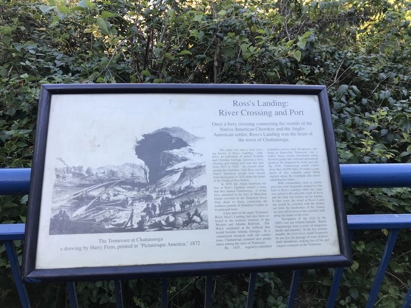
Once a ferry crossing connecting the worlds of the Native American Cherokee and the Anglo-American settler, Ross's Landing was the heart of the town of Chattanooga.
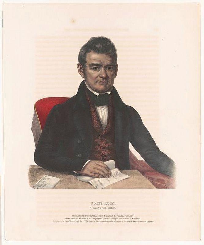
This place was once a river crossing known as Ross's Landing. John Ross, an individual of mixed Scottish and Cherokee heritage, operated a ferry crossing and trading post near this spot from 1815 to 1826. An elected chief among the Cherokee, John Ross and his Native American people were forced from these lands in 1838 under the terms of the Treaty of New Echota.
In 1839, the Anglo-American settlers at Ross's Landing created a town that they named Chattanooga. A swing ferry anchored at the foot of Maclellan Island swiveled on the Tennessee River from shore to shore, connecting the northern portion of Hamilton County to its principal town.
A key port on the upper Tennessee River, Ross's Landing had also been selected as the northern terminus of the Western and Atlantic Railroad. The W&A originated at the railhead that would become Atlanta, Georgia. As a commercial riverport with rail connections, Chattanooga assumed new prominence among the cities of Tennessee.
By 1835, regularly-scheduled steamboat service from Bridgeport, Alabama to Knoxville, Tennessee, was a reality; these vessels distributed manufactured goods and collected agricultural products for shipment by water and rail. By 1848, Chattanooga would collect more than 40,000 bales of cotton a year, much of this valuable cargo being stacked along the riverbank and streets adjoining the wharf.
Bulk commodities such as cotton and corn were frequently shipped by flatboat to Ross's Landing where the cargo was carted to the railyards south of town and the boat was broken up for lumber. In later years, the wharf at Ross's Landing would be crowded with the timber cut from the headwaters of the Tennessee and rafted down to the sawmills built along the banks of the river.
Navigation of the river in the 1800's was not without hazards. Below Chattanooga were a series of dangerous shoals and narrows. In the dry summer months, the river level would frequently be too low for passage of even shallow-draft steamboats, making loss of life and cargoes common on the Tennessee.
Caption: The Tennessee at Chattanooga, a drawing by Harry Fenn, printed in "Picturesque America,” 1872.
Topics. This historical marker is listed in these topic lists: Industry & Commerce • Native Americans • Settlements & Settlers • Waterways & Vessels. A significant historical year for this entry is 1815.
Location. 35° 3.392′ N, 85° 18.474′ W. Marker is in Chattanooga, Tennessee, in Hamilton County. It is in
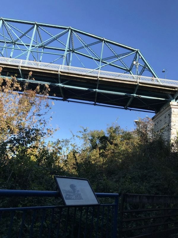
Riverfront. Marker can be reached from Riverfront Parkway, on the right when traveling west. Marker is on the Tennessee Riverwalk, just west of the Walnut Street Bridge. Touch for map. Marker is in this post office area: Chattanooga TN 37403, United States of America. Touch for directions.
Other nearby markers. At least 8 other markers are within walking distance of this marker. Bluff Furnace Historic Site (within shouting distance of this marker); Bluff Furnace Historical Park (about 300 feet away, measured in a direct line); Innovation and Disaster (about 300 feet away); From Oblivion to Rebirth: Archaeological Research at the Bluff Furnace Site (about 300 feet away); Headquarters Row (about 300 feet away); The Beginnings of Iron Manufacture in Chattanooga (about 300 feet away); Hunter Museum of American Art (about 600 feet away); Trail of Tears (about 600 feet away). Touch for a list and map of all markers in Chattanooga.
Credits. This page was last revised on February 7, 2023. It was originally submitted on October 19, 2021, by Duane and Tracy Marsteller of Murfreesboro, Tennessee. This page has been viewed 445 times since then and 31 times this year. Photos: 1, 2, 3. submitted on October 19, 2021, by Duane and Tracy Marsteller of Murfreesboro, Tennessee.


