Northshore in Chattanooga in Hamilton County, Tennessee — The American South (East South Central)
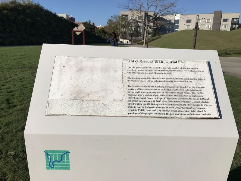
Hill Overlooks & Industrial Past
Photographed by Duane and Tracy Marsteller, October 16, 2021
1. Hill Overlooks & Industrial Past Marker
The two man-made hills also serve the function of safely encapsulating some of the waste products left by industries formerly located on this site.
The Samuel Stamping and Enabling Company was founded on the northern portions of Renaissance Park in 1926. This was the first industrial tenant on the north shore property west of the Market Street Bridge. This facility manufactured a variety of porcelain enamel products such as appliances, space heaters and furnaces. Roper Corporation purchased the site in 1968 and continued operations until 2002 when their parent company, General Electric, opted to close the 110,000 square foot manufacturing facility, moving to a larger plant in nearby Lafayette, Georgia. In early 2002, the RiverCity Company, Trust for Public Land and City officials began exploratory talks about the purchase of the property for use in the new downtown revitalization initiative.
Topics. This historical marker
this page online
Location. 35° 3.737′ N, 85° 18.651′ W. Marker is in Chattanooga, Tennessee, in Hamilton County. It is in Northshore. It can be reached from River Street south of Manufacturers Road, on the left when traveling west. Marker is in Renaissance Park, about 150 feet due west of the park pavilion. Touch for map. Marker is at or near this postal address: 133 River St, Chattanooga TN 37405, United States of America. Touch for directions.

Regionally, this marker is in the American South, specifically in the Upper South, in Appalachia, and specifically in Southern Appalachia. Globally, it is in North America, the Western Hemisphere, the Western World, and the Anglosphere. Historically, it finds itself in what was once the original Cherokee Nation, the territory of the Mississippian Culture, one of the Confederate States of America, and the Antebellum South.
Other nearby markers. At least 8 other markers are within walking distance of this marker: 1864 Military Bridge (about 500 feet
Photographed by Duane and Tracy Marsteller, October 16, 2021
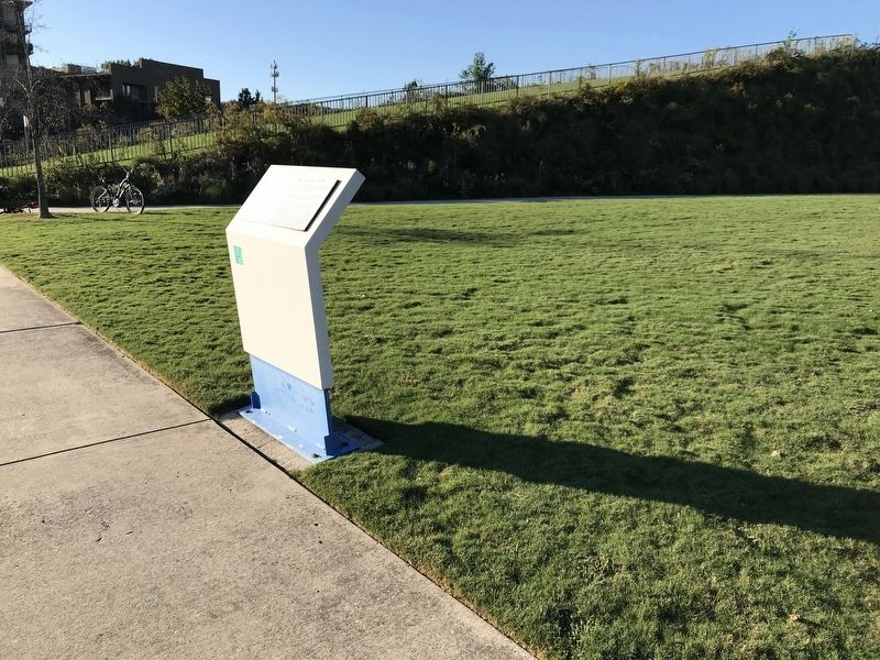
2. Hill Overlooks & Industrial Past Marker
Credits. This page was last revised on November 30, 2025. It was originally submitted on October 19, 2021, by Duane and Tracy Marsteller of Murfreesboro, Tennessee. This page has been viewed 475 times since then and 60 times this year. Photos: 1, 2. submitted on October 19, 2021, by Duane and Tracy Marsteller of Murfreesboro, Tennessee.
