The National Mall in Southwest Washington in Washington, District of Columbia — The American Northeast (Mid-Atlantic)
Broomsedge
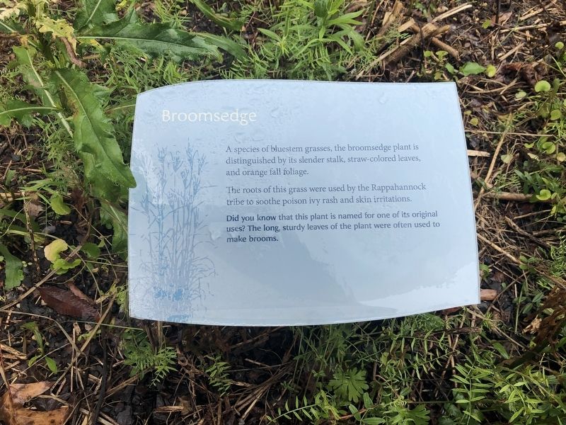
A species of bluestem grasses, the broomsedge plant is distinguished by its slender stalk, straw-colored leaves, and orange fall foliage.
The roots of this grass were used by the Rappahannock tribe to soothe poison ivy rash and skin irritations.
Did you know that this plant is named for one of its original uses? The long, sturdy leaves of the plant were often used to make brooms.
Erected by Smithsonian Institution.
Topics. This historical marker is listed in these topic lists: Anthropology & Archaeology • Indigenous Peoples and Communities • Industry & Commerce • Science & Medicine.
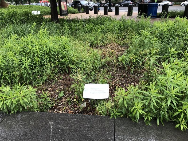
Location. Marker has been permanently removed. It was located near 38° 53.272′ N, 77° 1.035′ W. Marker was in Southwest Washington in Washington, District of Columbia. It was in The National Mall. It was on Independence Avenue Southwest just east of 4th Street Southwest, on the right when traveling west. Touch for map. Marker was at or near this postal address: 482 Independence Ave SW, Washington DC 20024, United States of America.
We have been informed that
this page online
Regionally, this marker was in the Washington Metropolitan Area. It was also in the American Northeast, in the Upper South, in the Mid-Atlantic, in the Tidewater, and in the Chesapeake Bay Region. Globally, it was in North America, the Western Hemisphere, the Western World, and the Anglosphere.

Other nearby markers. At least 6 other markers are within walking distance of this location: Eastern Meadow (a few steps from this marker); a different marker also named Nora Naranjo-Morse (within shouting distance of this marker); Cardinal Direction Marker: West (within shouting distance of this marker); a different marker also named Nora Naranjo-Morse (within shouting distance of this marker); a different marker also named Traditional Croplands (within shouting distance of this marker); a different marker also named Cardinal Direction Marker: South (within shouting distance of this marker). Touch for a list and map of all markers in Southwest Washington.
Other markers no longer nearby. Wingapo (was a few steps from this marker
Credits. This page was last revised on January 30, 2023. It was originally submitted on October 21, 2021, by Devry Becker Jones of Washington, District of Columbia. This page has been viewed 160 times since then and 8 times this year. Photos: 1, 2. submitted on October 21, 2021, by Devry Becker Jones of Washington, District of Columbia.
