Aztec in San Juan County, New Mexico — The American Mountains (Southwest)
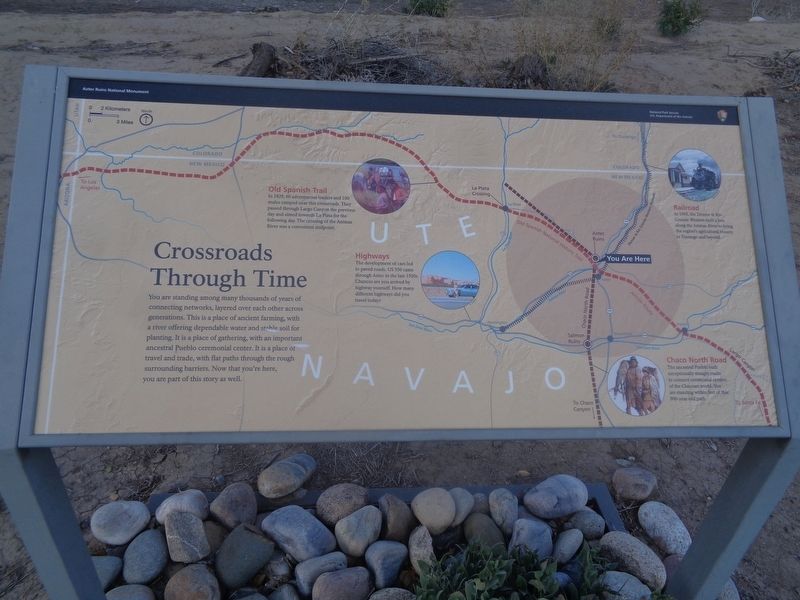
Crossroads Through Time
Aztec Ruins National Monument
Old Spanish Trail
In 1829, 60 adventurous traders and 100 mules camped near this crossroads. They passed through Largo Canyon the previous day and aimed towards La Plata for the following day. The crossing of the Animas River was a convenient midpoint.
Highways
The development of cars led to paved roads. US 550 came through Aztec in the late 1920s. Chances are you arrived by highway yourself. How many different highways did you travel today?
Railroad
In 1905, the Denver & Rio Grande Western built a line along the Animas River to bring the region's agricultural bounty to Durango and beyond.
Chaco North Road
The ancestral Pueblo built exceptionally straight roads to connect ceremonial centers of the Chacoan world. You are standing within feet of this 900-year-old path.
Erected by National Park Service and U.S. Department of the Interior.
Topics. This historical marker is listed in these topic lists: Agriculture • Native Americans • Railroads & Streetcars • Roads & Vehicles. A significant historical year for this entry is 1829.
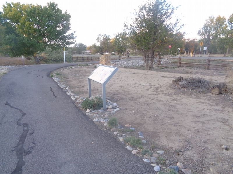
Location. 36° 49.986′ N, 107° 59.892′ W. Marker is in Aztec, New Mexico, in San Juan County. Marker can be reached from Road 2900 east of Ruins Road. Marker is on a walking trail. Touch for map. Marker is at or near this postal address: 725 Ruins Rd, Aztec NM 87410, United States of America. Touch for directions.
Other nearby markers. At least 8 other markers are within walking distance of this marker. A Vibrant Pueblo (about 400 feet away, measured in a direct line); A Daring Plan (about 800 feet away); Aztec Ruins National Monument (about 800 feet away); At Home on the River (approx. 0.2 miles away); "For the Enlightenment of the Nation" (approx. 0.2 miles away); A River's Ancient Gifts (approx. 0.2 miles away); Armijo Returns Triumphant (approx. 0.2 miles away); a different marker also named Aztec Ruins National Monument (approx. half a mile away). Touch for a list and map of all markers in Aztec.
Regarding Crossroads Through Time. This is one of six markers (as of October 2021), placed by the NPS, that are part of a trail that is to connect from the Aztec Ruins National Monument to Main Street in Aztec. The trail is to tell the history of the Old Spanish Trail. Parts of the trail were under construction at this time.
Credits. This page was last revised on October 22, 2021. It was originally submitted on October 21, 2021, by Jason Voigt of Glen Carbon, Illinois. This page has been viewed 134 times since then and 23 times this year. Photos: 1, 2. submitted on October 22, 2021, by Jason Voigt of Glen Carbon, Illinois.

